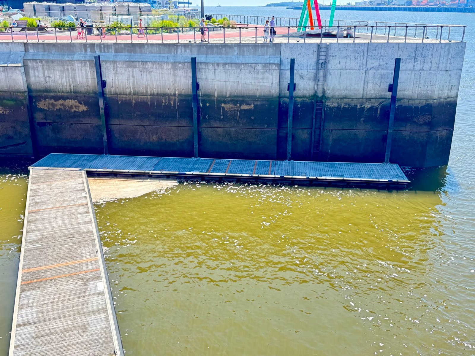
Escape the August Heat In Canada
Fair warning: this is a long post, just over 5,000 words, and I’m not sorry. When I was planning this trip, I had a surprisingly hard time finding detailed accounts from people who had done something similar. So here it is, in full.
If driving from Boston to Montreal, Quebec City, the Bay of Fundy, Charlottetown, PEI, the Cabot Trail, Halifax, then taking the ferry from Nova Scotia to Maine, working your way down the Maine coast, and ending back in Boston over 30 days sounds like your definition of a prison sentence, stop reading now.
If it sounds even a little intriguing, then go forth, dear reader.
WHY?
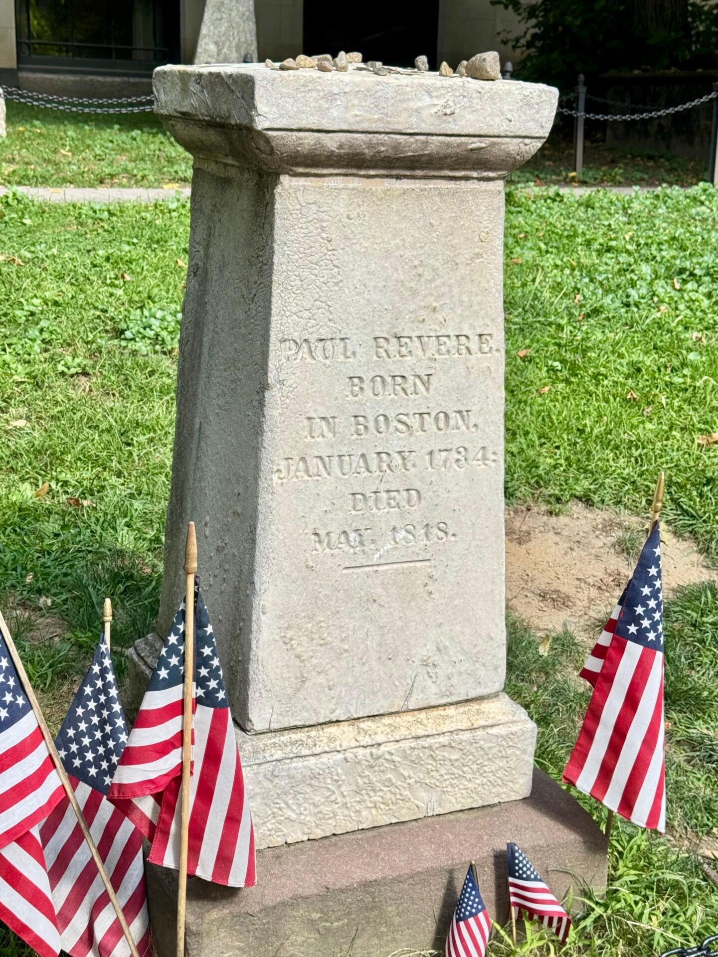
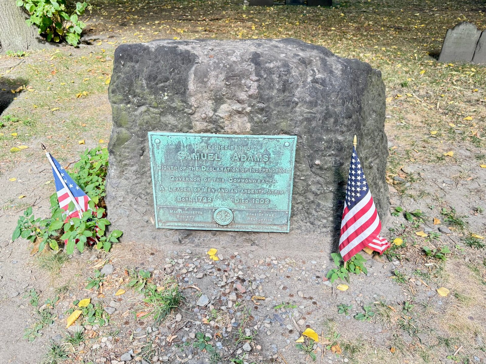
All right, let’s be honest: when you tell people you’re spending over a month (August) driving a 3,000-mile loop across New England, Quebec, and Maritime Canada, they give you that look. The one that says, “Ah, going to go see lighthouses and eat at lobster shacks?” OR they say, “What the hell are the Maritimes?”
I did find plenty of lighthouses, some of them drop-dead gorgeous. I also ate enough lobster to realize that yes, you actually can get sick of it, no matter how much drawn butter you drown them in. I also learned what the term Maritimes means: the Canadian provinces of New Brunswick, Nova Scotia, and Prince Edward Island are collectively called the Maritimes (which actually means: “near the sea”). TIL
What I really found, though, is that even with 30 days on the clock, an East Coast mega-loop tests physical endurance. If you don’t pace yourself, it will wreck your lower back, drain your battery, and leave your credit card smoking from the brutal combination of Canadian gas prices and peak-season coastal lodging. (And for the record: I skipped Newfoundland entirely on this run. I realized I didn’t have the time for two eight+ hour ferries, and trying to cram three to four days on the island would have turned an already long trip into a full-blown stress event.)
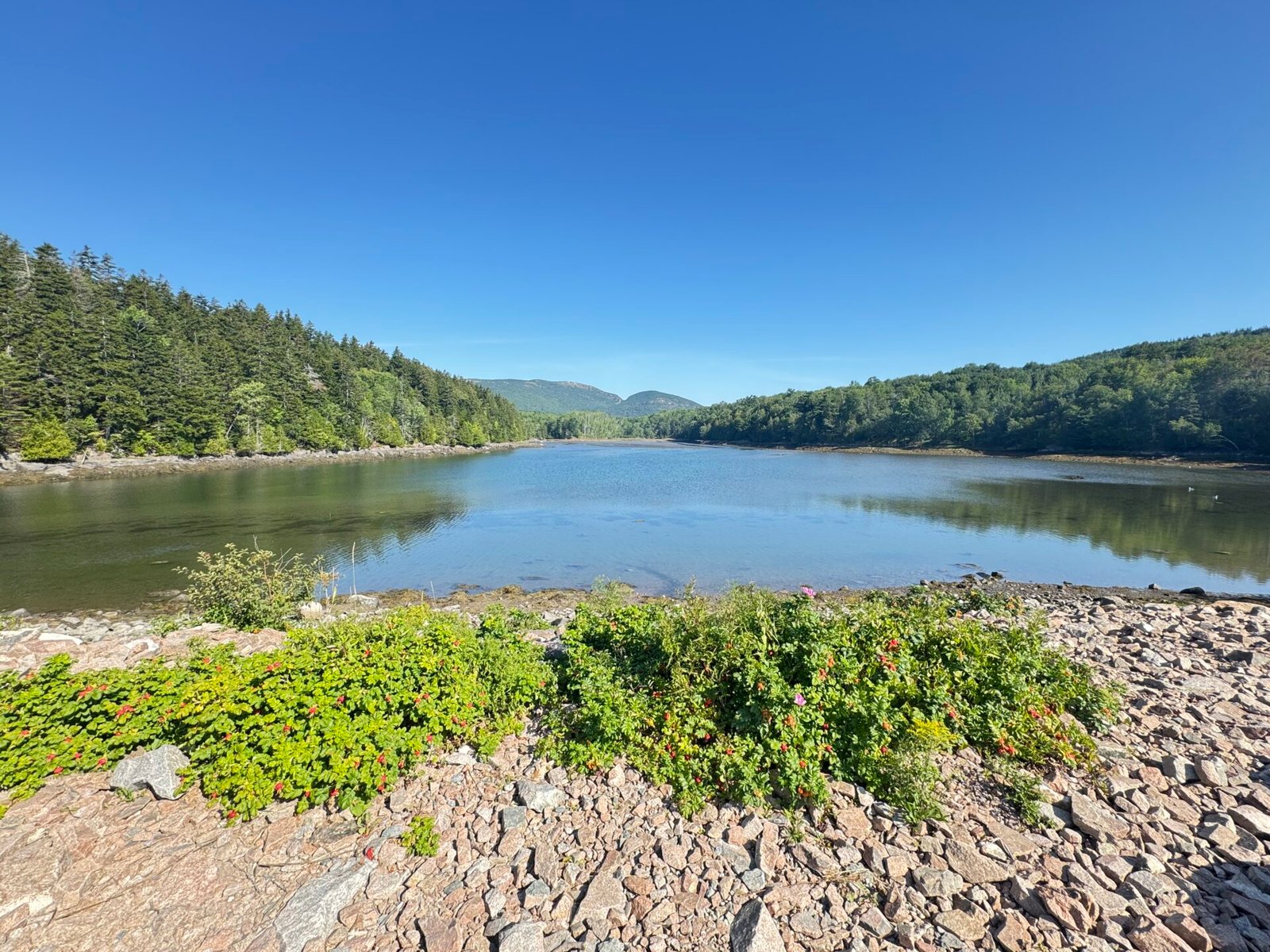
I just wrapped up this 30-day August trek: starting and ending in Boston, crawling up through New Hampshire’s White Mountains and Vermont’s Green Mountains, then to Montreal and then into Quebec, cut across New Brunswick, Prince Edward Island, and Nova Scotia, driving the famous Cabot Trail, then taking a ferry back into Maine, driving down the coast, and then back to Boston to close the loop. Having toured the Balkans last August, I’m no stranger to long-haul travel, but this was a real test of physical stamina and logistical planning.
If you’re over 50, an empty nester, looking to escape the heat of wherever you are in August, or just someone looking to take on one of the East Coast’s biggest driving routes without destroying your body or your wallet, grab a coffee or a beer. Here’s the straightforward truth.
Phase 1: Mountains, Poutine (not for me), and Old-World Charm (Days 1–6)
The White & Green Mountains
After landing at Boston Logan, I grabbed my rental car (grabbed is a loose term; it actually had an hour-long line with just two very uninspired staff helping people) and pointed the hood north. Quick tip: inspect your rental car’s terms like your life depends on it. You also need serious lumbar support for a trip like this, but check for unlimited mileage, clear permission to cross the Canadian border, and approval to drive onto auto-ferries.
My target was Conway, New Hampshire, and the start of the legendary Kancamagus Highway (Route 112). The “Kanc” delivers dense forest canopy, granite riverbeds, and sweeping mountain passes (pulled that right from the brochure).
Change of Plans: A massive storm slammed the area as I was landing at 11 pm, forcing me to abandon my initial Conway inn and stay at a roadside hotel in southern New Hampshire. Driving narrow mountain passes in torrential rain at 1:00 AM isn’t adventure; it’s stupid. The innkeepers in Conway were completely understanding, proving once again that small-town New England hospitality is genuine.
Montreal & Quebec City
Day 2 meant going north to reconnect with Route 112, driving it west for an hour or so, but not having the time to stop at waterfalls or other points along the Kancamagus Highway. I did grab a quick lunch in Burlington, Vermont, and got to see a little of that city. Then headed due north in order to cross the border and find my way into Montreal for a three-night stay.
The shift from quiet Vermont rolling hills to the city of Montreal’s is a stark difference, but not an unwelcome one. Montreal gives you incredible European flavor without the flight over the Atlantic. This is my sixth visit to the city, but the first in 20 years that wasn’t for work. It’s a walking city (outside of a snowstorm) with a great subway system. If you are there for more than two days, get the pass for the subway. For the first time I didn’t stay in the downtown area, but just outside near the Olympic Stadium, and still this was my most expensive hotel of the whole trip.
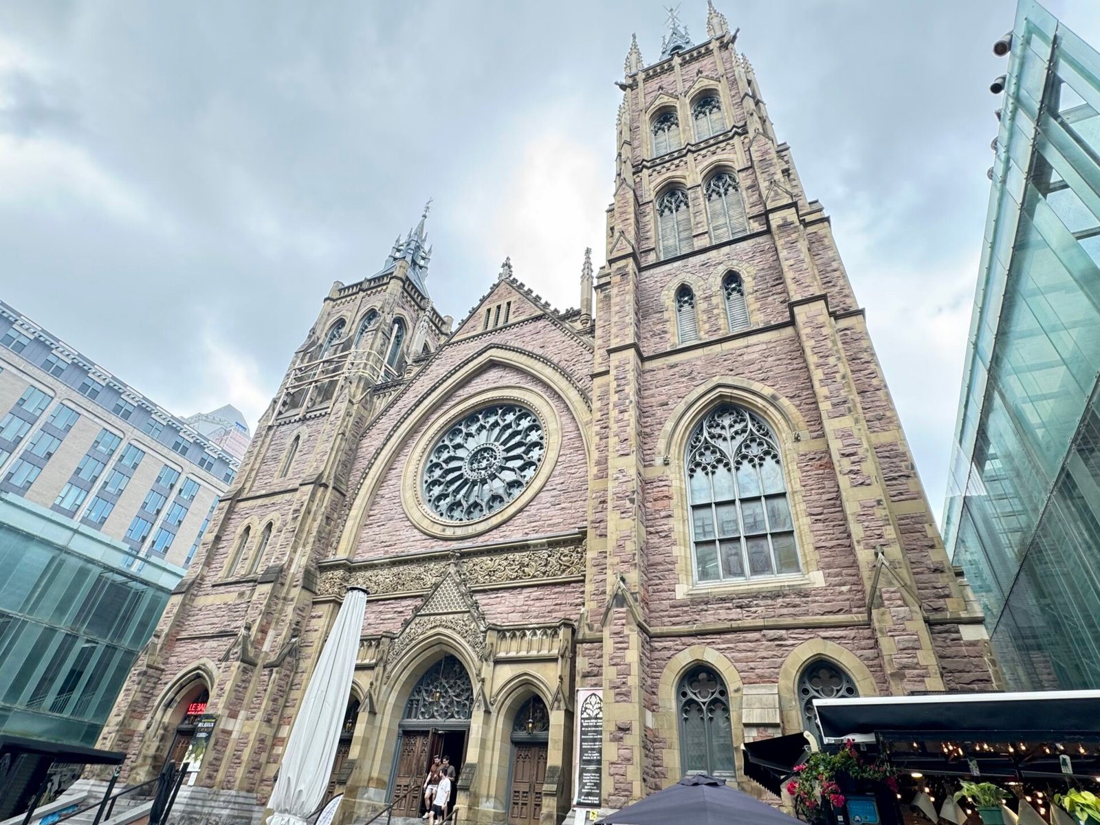
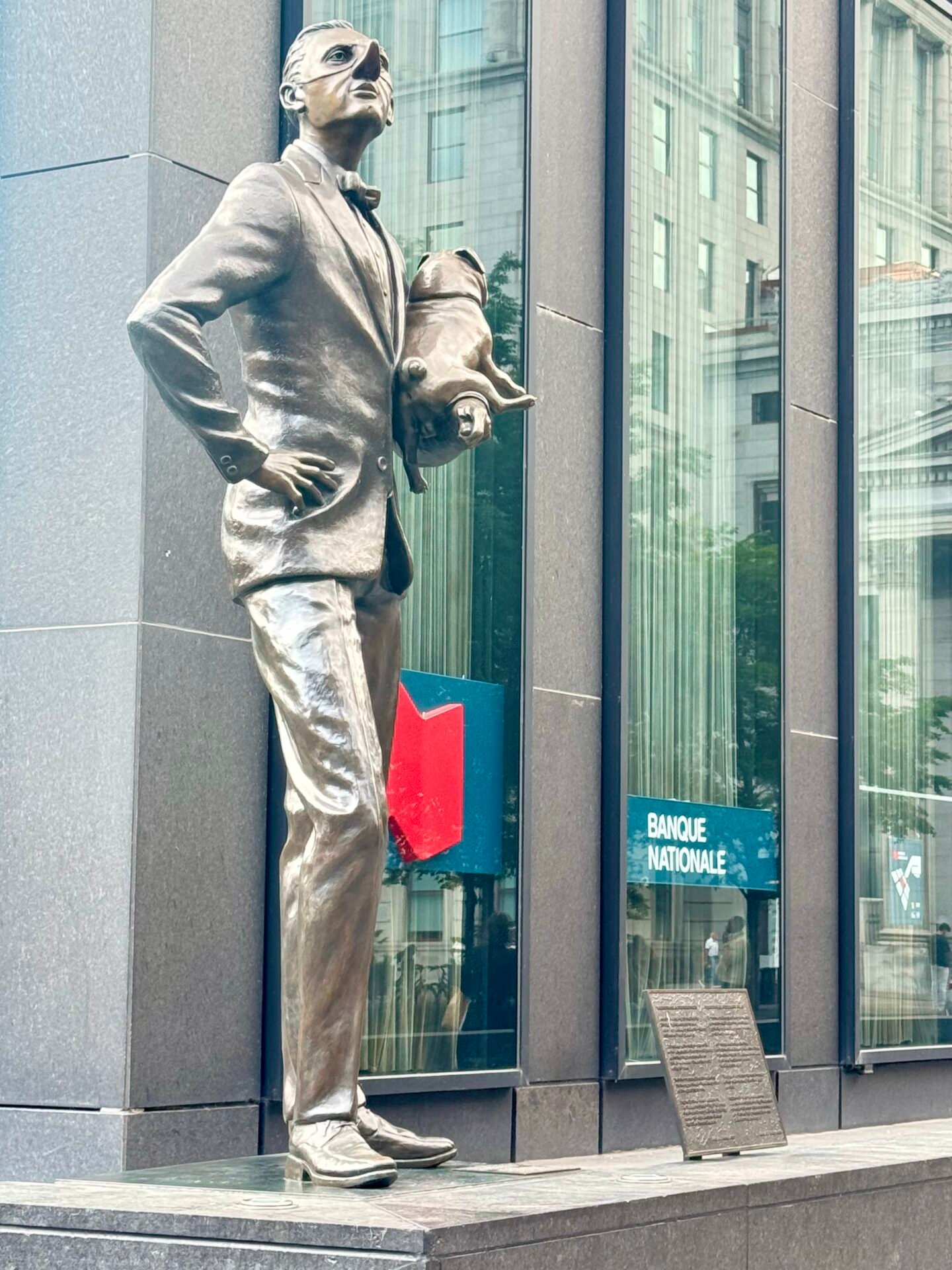
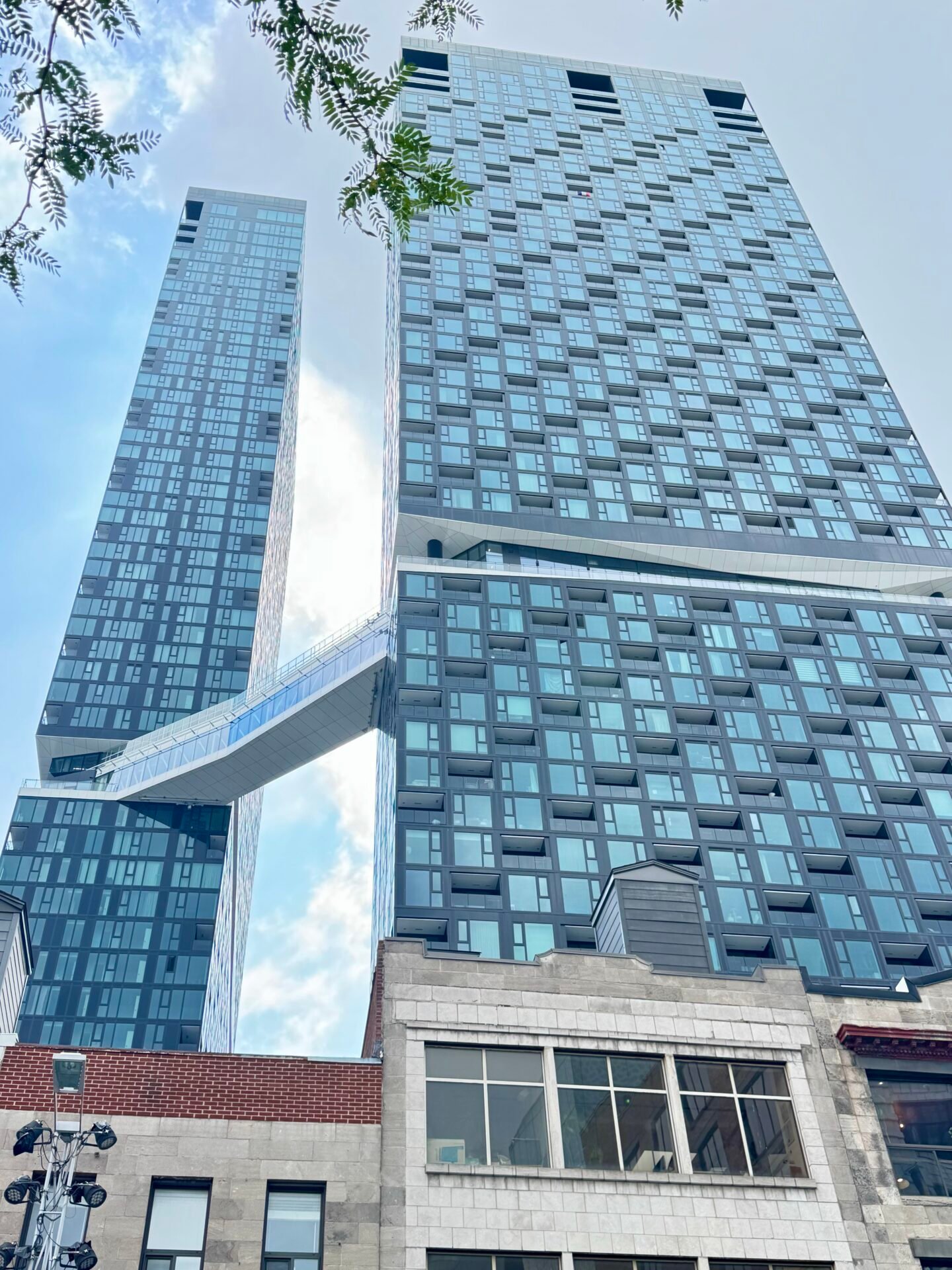
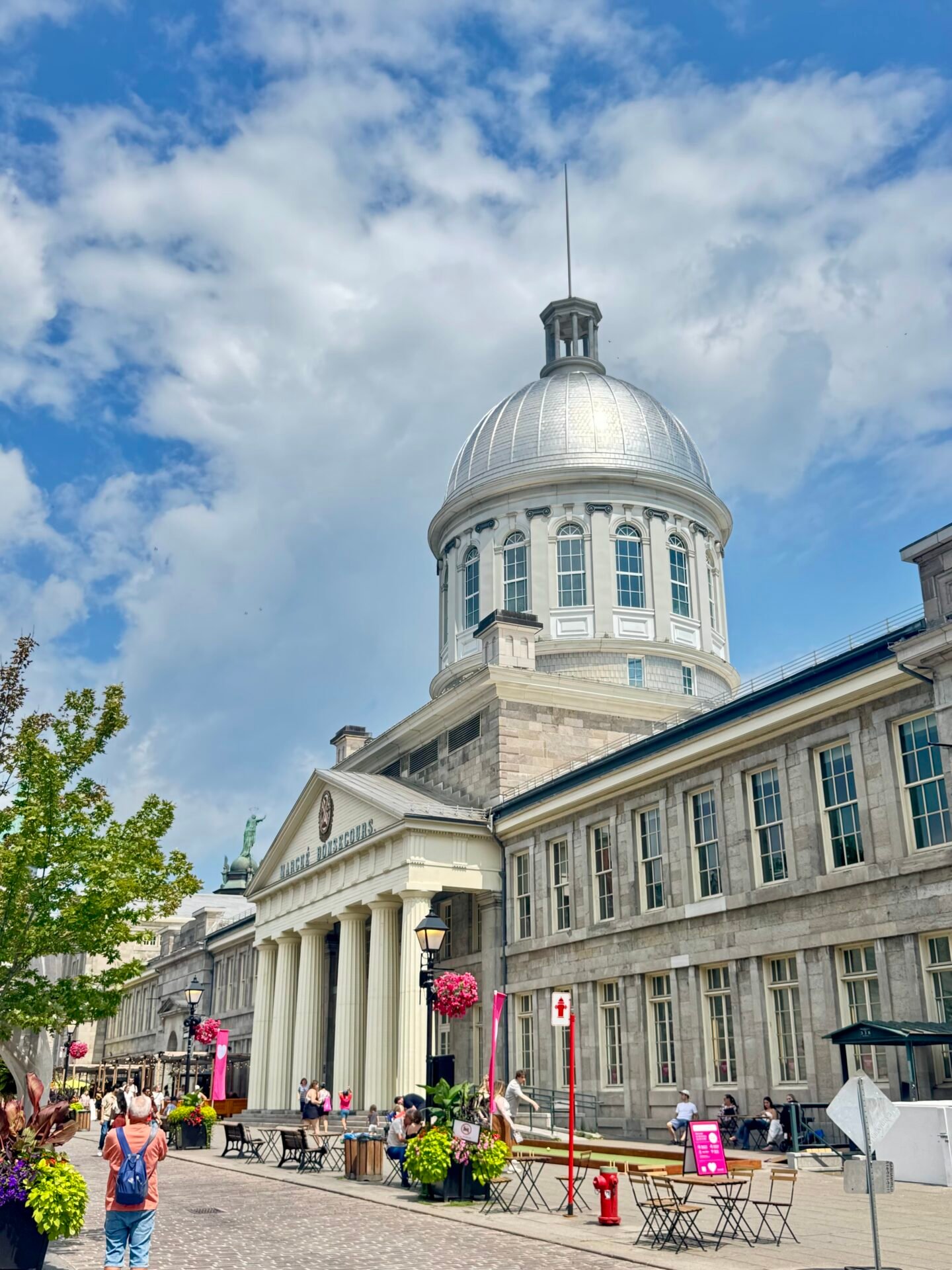
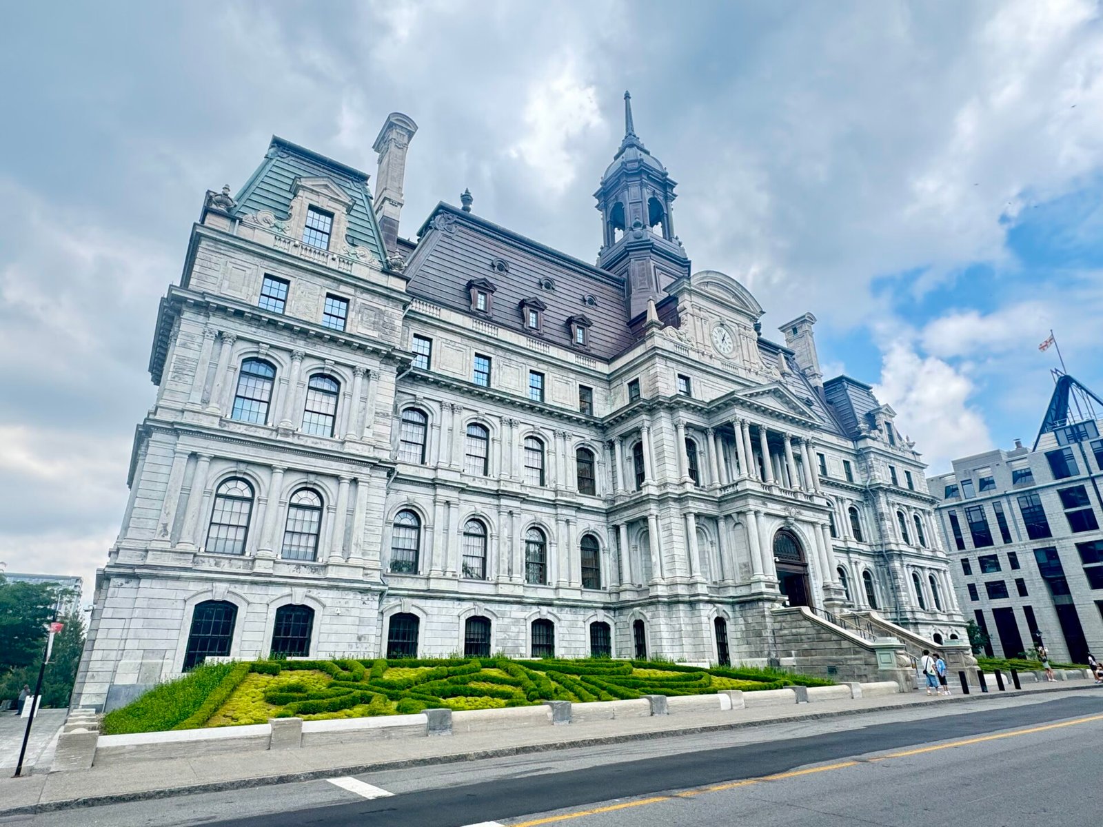
Montreal has a working downtown that isn’t dead on the weekends, but with much less noise and hubbub, which allows you to enjoy it more. I went downtown first and then walked to the old section of the city. This is a wonderful area that remains looking like a village or old city in Europe, with cobblestone streets and lots of personality. There are lots of tourists, but it is very manageable, and you’re never more than 3 or 4 blocks from a subway station. If you want, this is a perfect place to try the French-Canadian junk food lovingly called poutine. Basically, French fries with a gravy-like substance and cheese curds. They love it. Me, not so much.
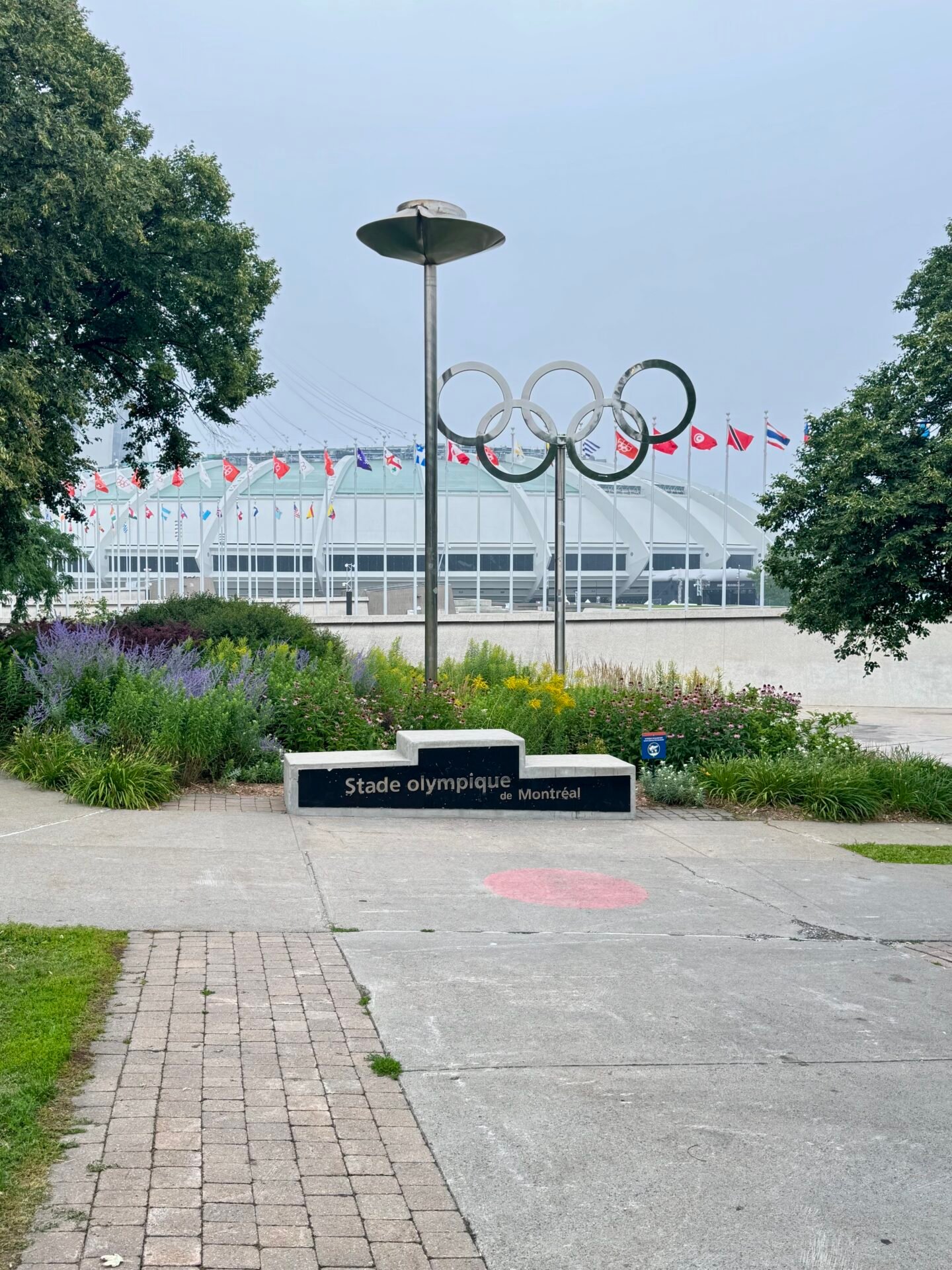
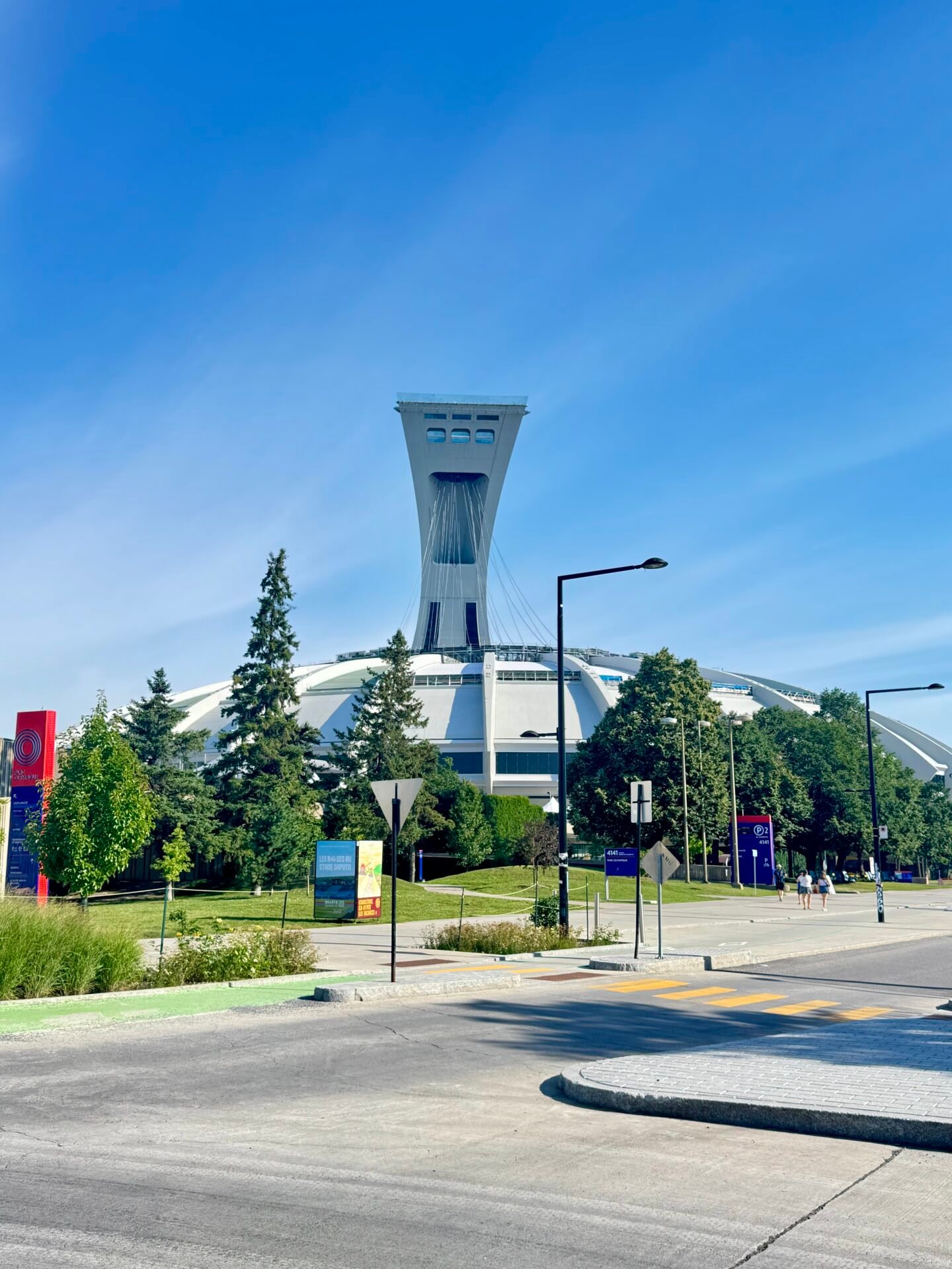
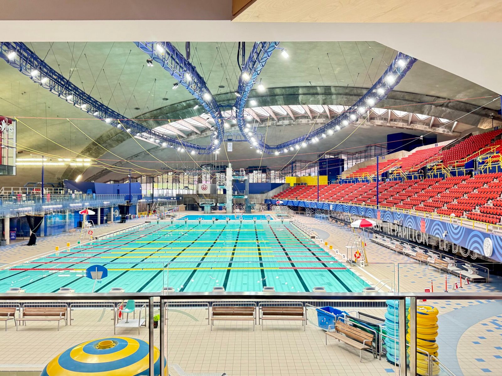
Returning for the evening, I realized the entire Olympic Village was hosting festival events for the 50th anniversary of the 1976 Olympics. The village is iconic, with the main stadium still a fixture in my memories, along with the Olympic rings, cauldron, and podium right out front.
Having loved my short stay in Montreal, I headed up the St. Lawrence River to Quebec City (Days 5–6), a quick three-hour drive, depending on traffic. I knew Quebec City much less than Montreal, as I was only here once before, and had no time to be a tourist. Staying at the Résidences Université du Québec kept costs down while exploring Vieux-Québec and Petit Champlain. Though the area around the university was a little sketchy, with lots of homeless people, it was only a three-block uphill walk to the center of Quebec and close to the Parliament.
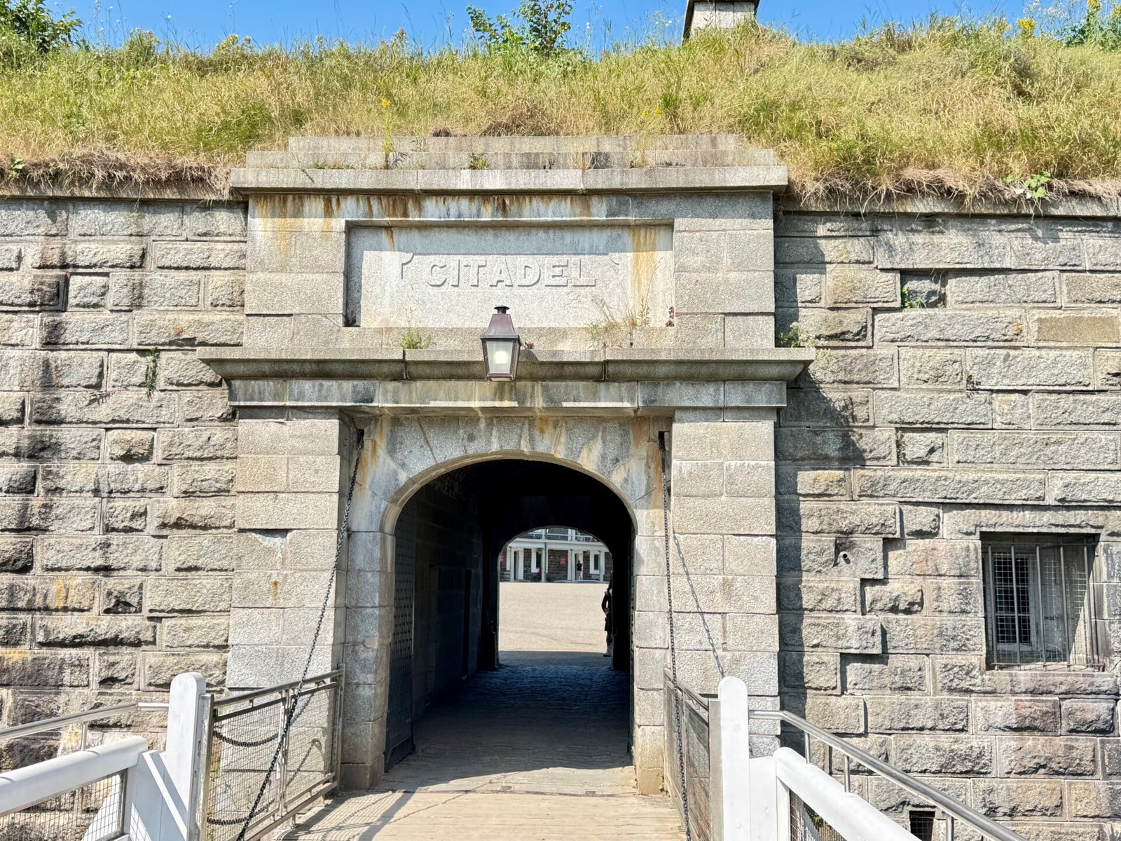
From there I went to the Citadel, which offers great views and is really interesting as an American. Though the French originally built it, the British greatly expanded it and fortified it to defend against the Americans! They attacked Quebec twice, and twice they (we?) were defeated. I must say it is very strange to read about a history where your nation is the enemy. The last time that happened to me was at a museum in Hanoi.
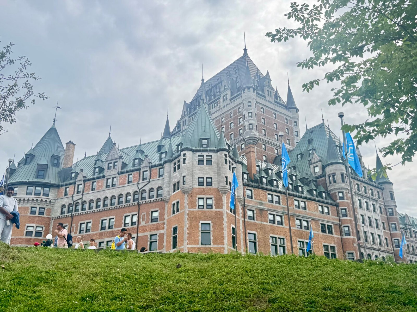
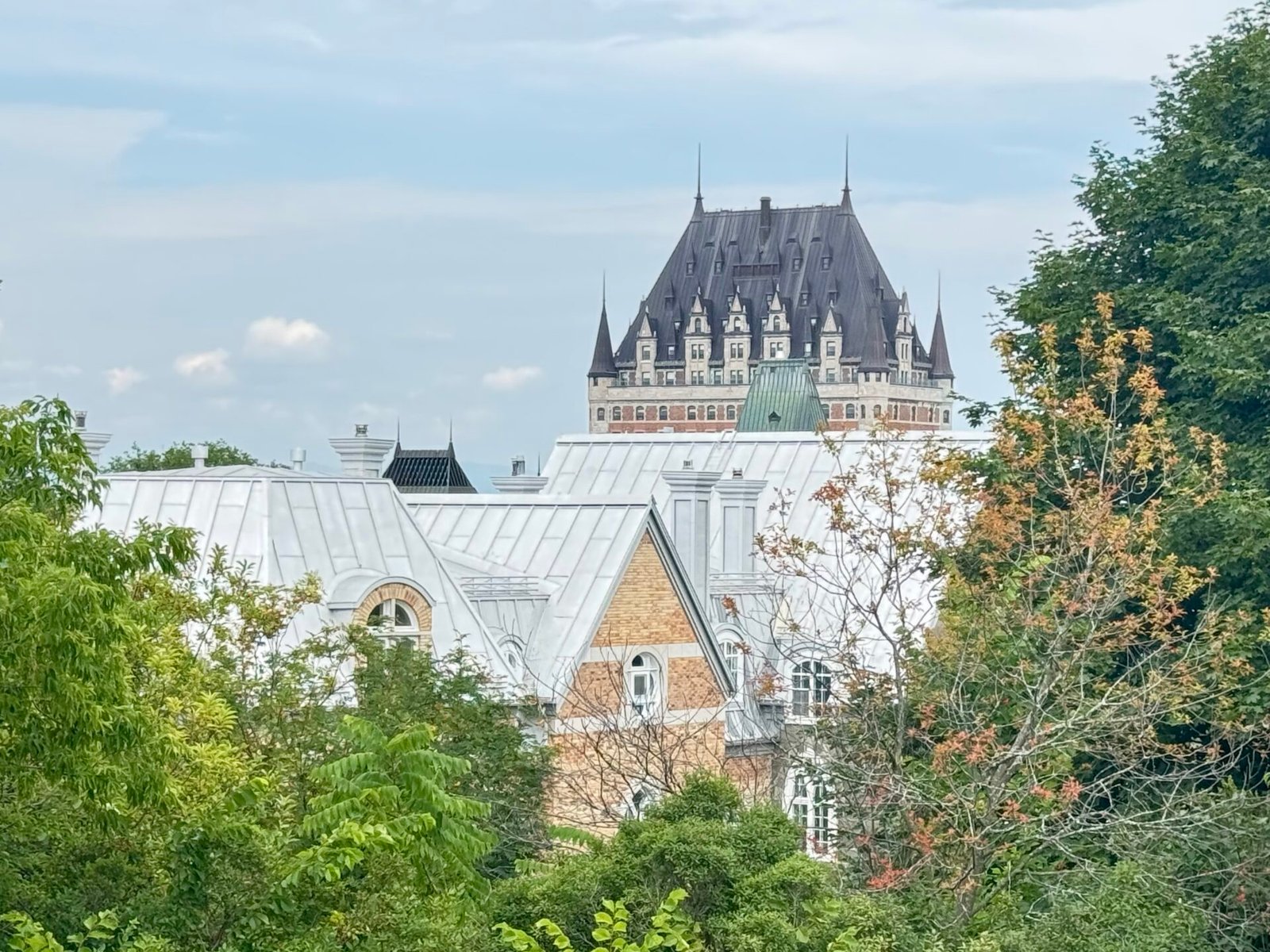
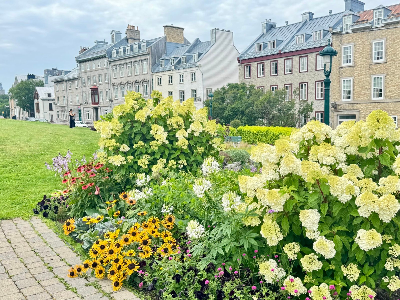
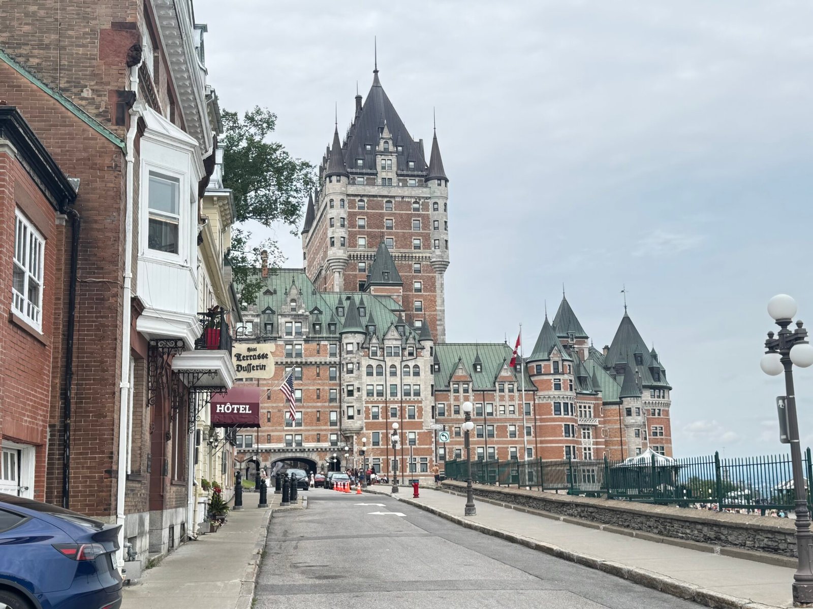
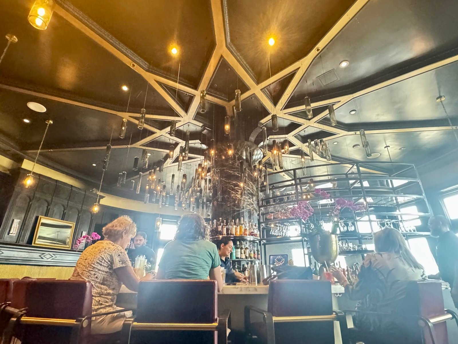
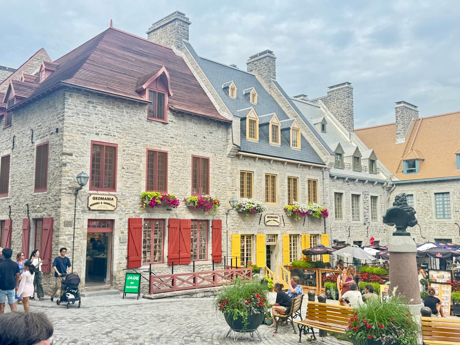
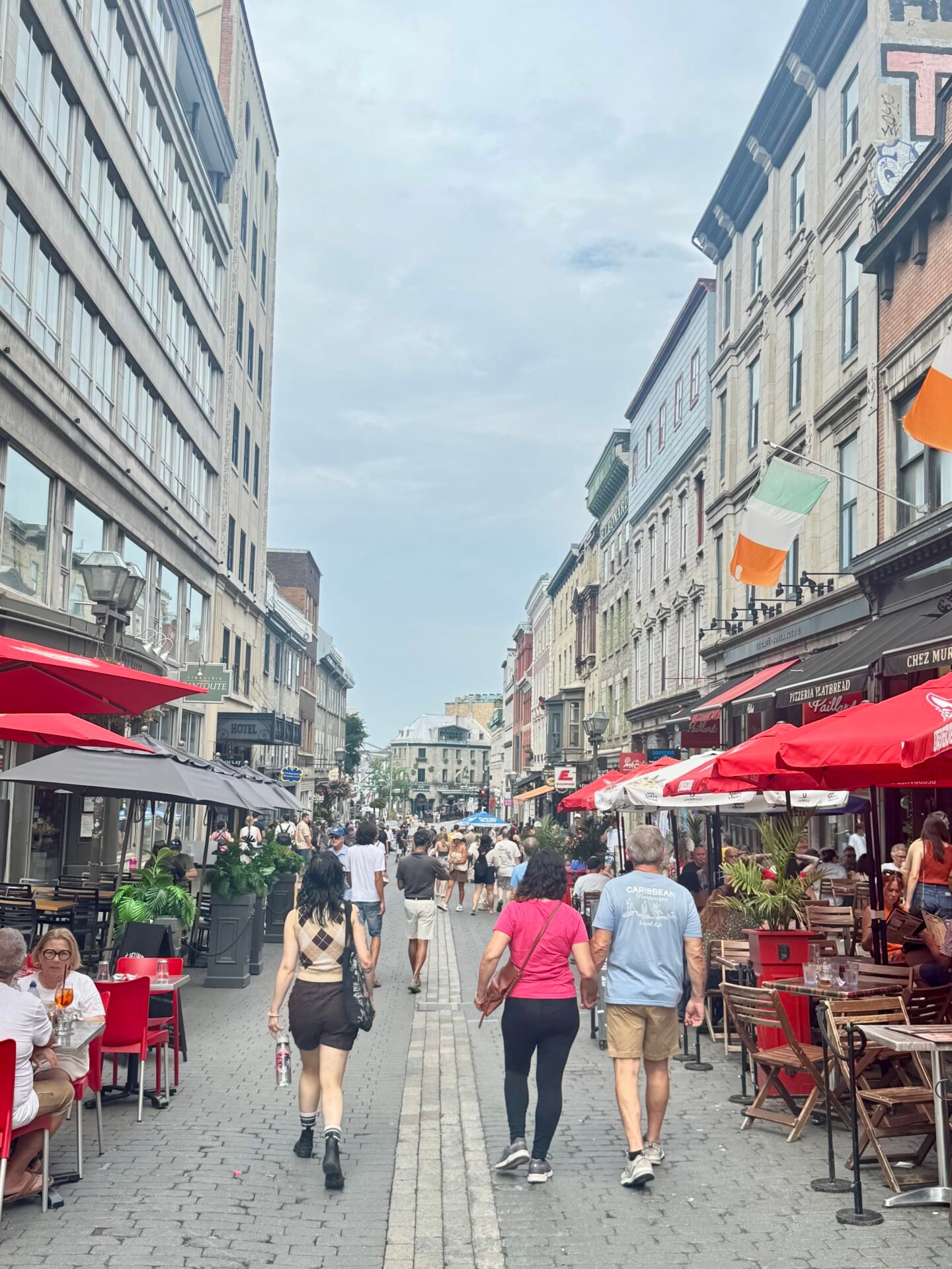
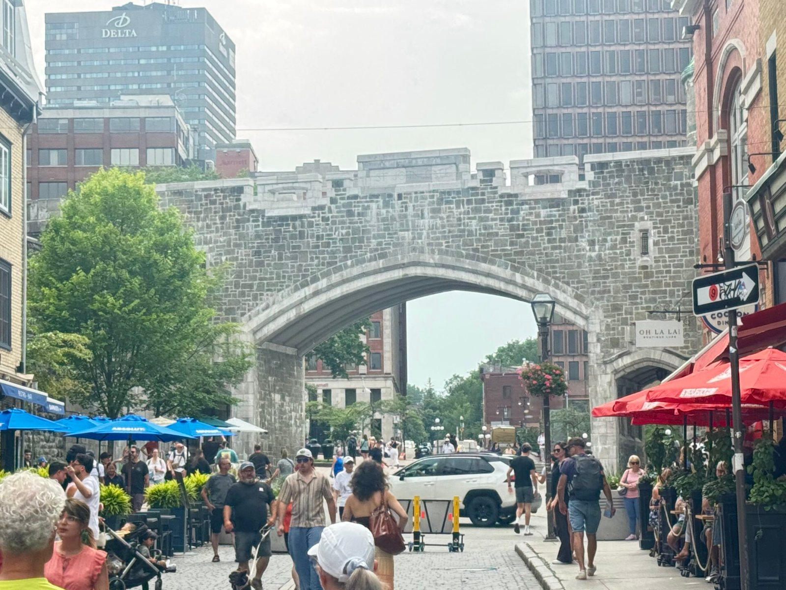
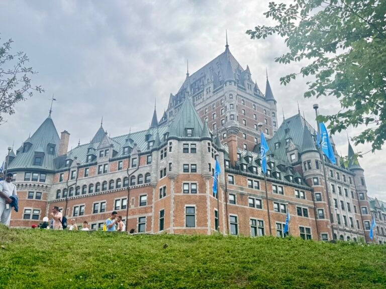
A quick walk downhill (literally) or a series of stairs takes you to Petit Champlain, and then to Old Quebec (Vieux-Québec). It looks like 17th-century France was cut out with scissors and dropped onto a cliffside. The most striking building is the Frontenac Hotel, now a Fairmont Hotel. Beautiful, I spent the money to enjoy their bar and have a glass of Canadian red wine. I must say, it left a lot to be desired, but the atmosphere was still enjoyable. Several areas of the old city are pedestrian, or at least on the day I was there, which made it easy to explore.
Phase 2: Highway Grinds & Bay of Fundy Tides (Days 7–11)
The New Brunswick Push
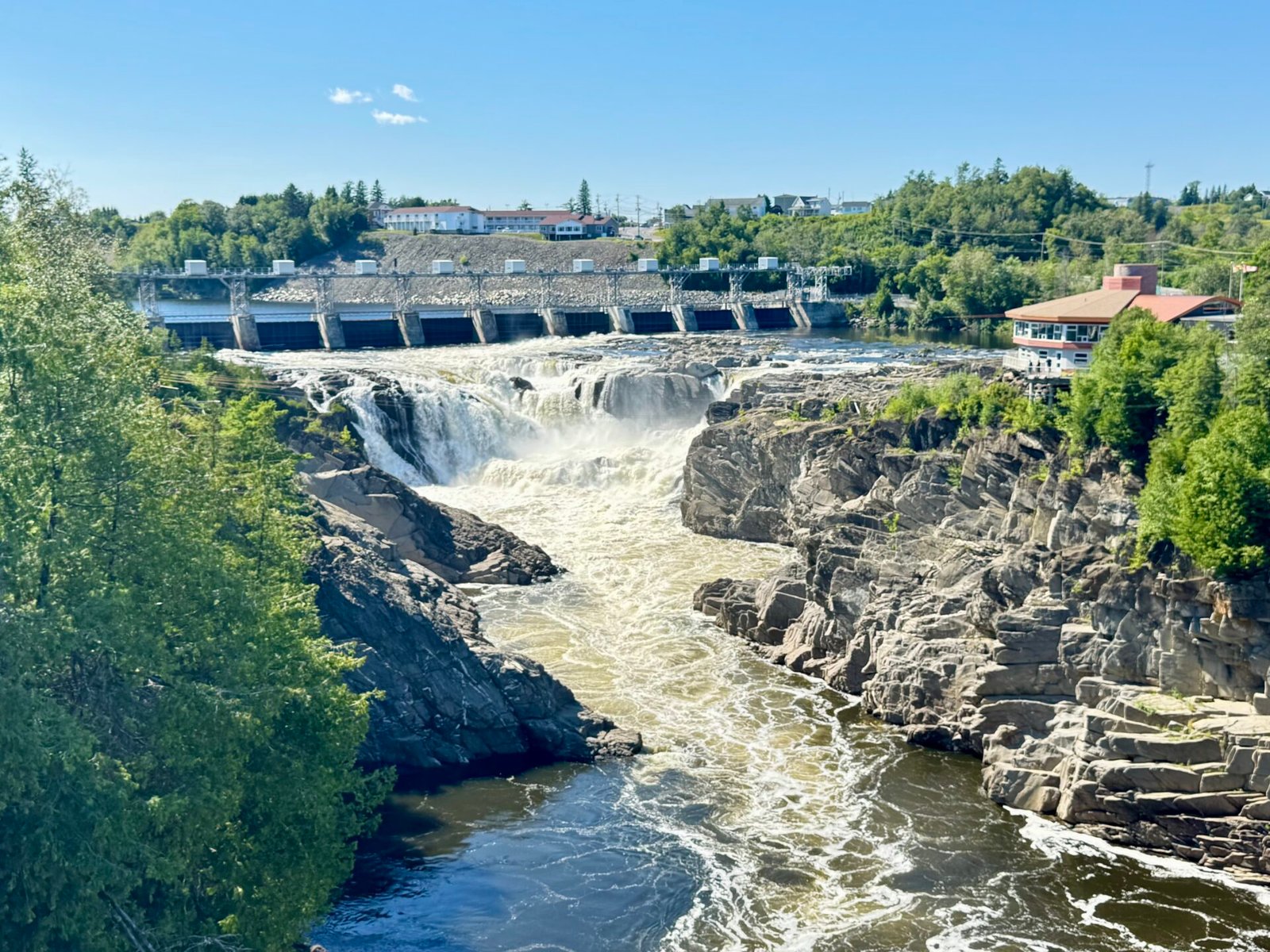
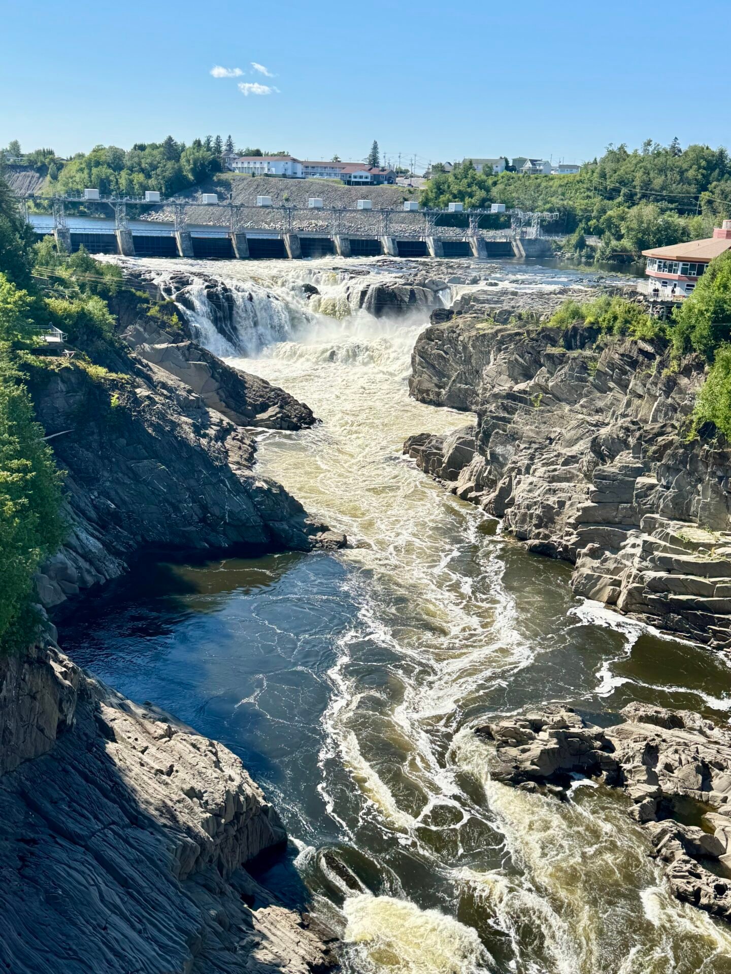
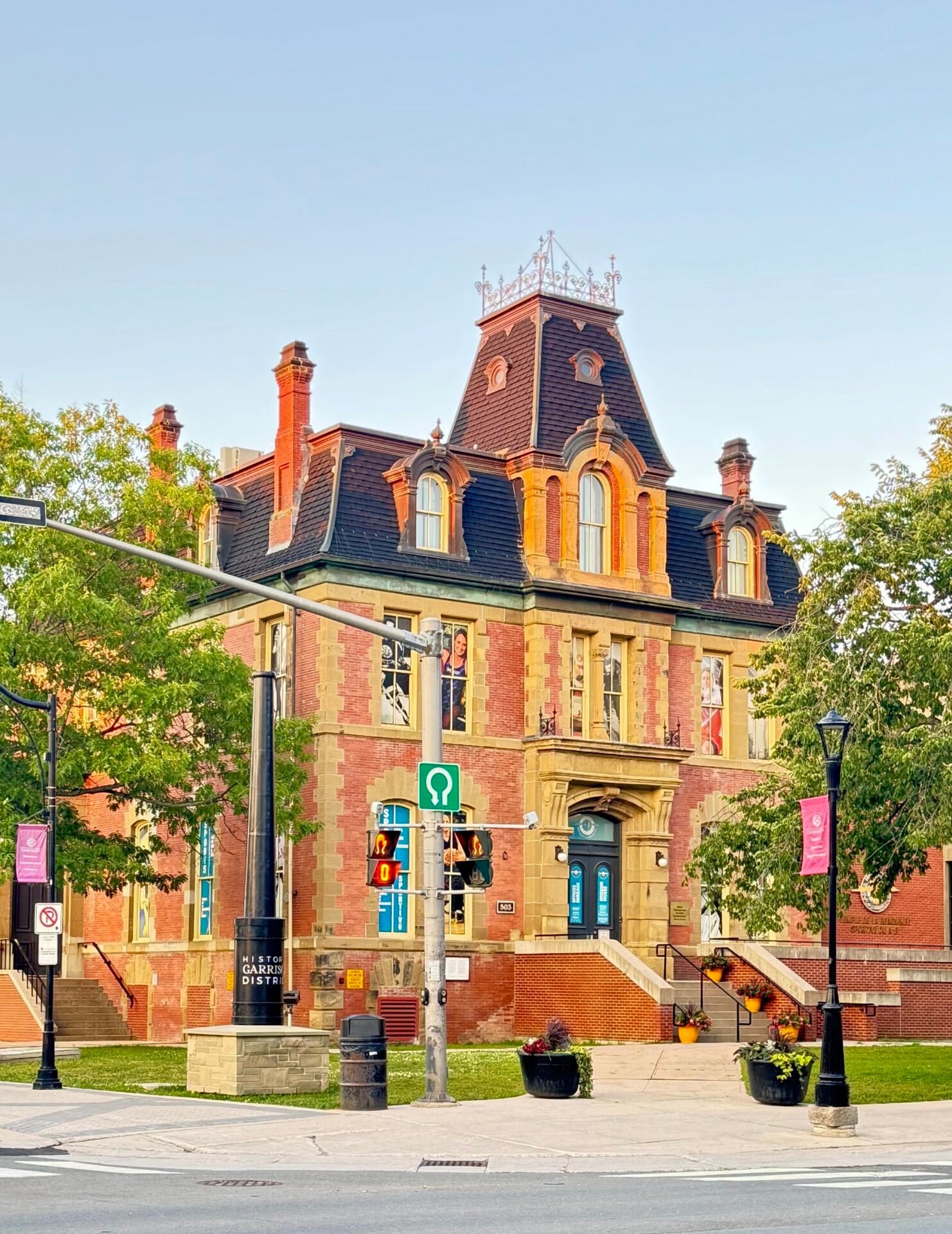
Day 7 is an unglamorous journey: six hours from Quebec City down to Fredericton, New Brunswick, with a quick stop to see the falls at the aptly named town of Grand Falls. These were at the near-halfway point and proved surprisingly powerful. Staying in Fredericton kept the total drive close to six hours, and I didn’t want to push it further. It ended up being a charming city, and the capital of New Brunswick – who knew??
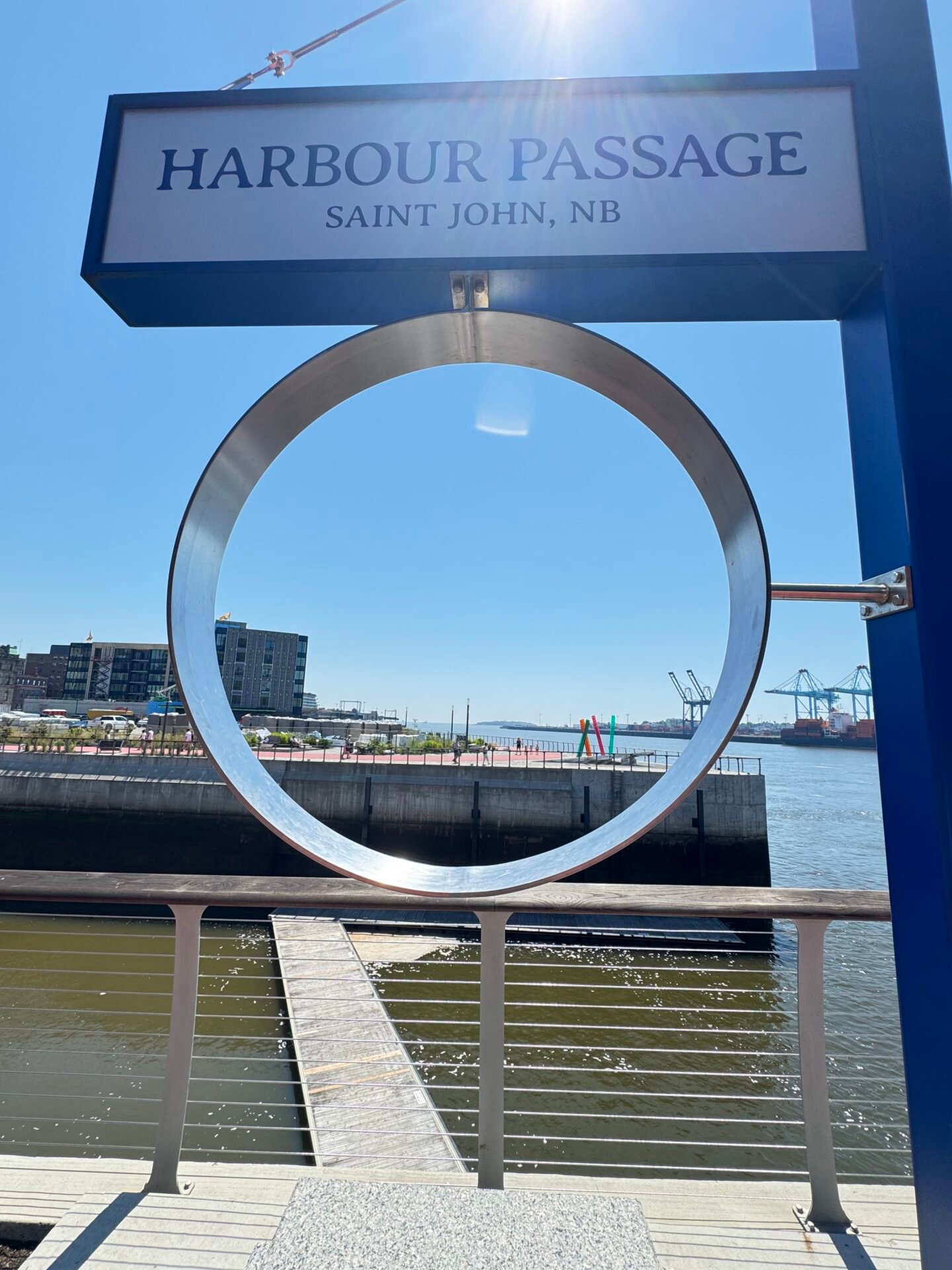
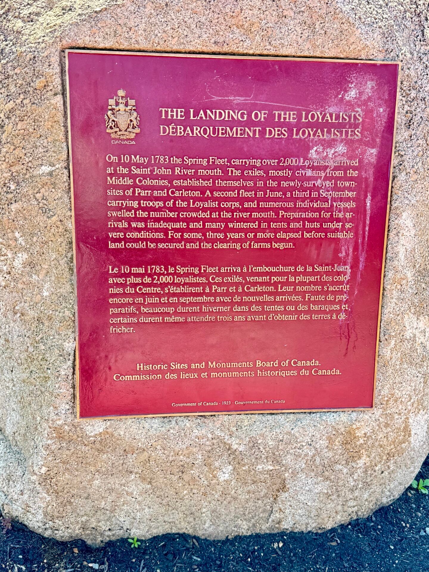
From Fredericton, I took a detour to hit the coastal resort town of St. Andrews after reading up on it. What a charming small town, though on the pricier side. From there I drove to Saint John, without the “s”; the other one, with the “s,” is in Newfoundland, and yes, everyone mixes them up. St. John had a unique history I didn’t know about. After the American Revolutionary War, it was heavily populated by colonists loyal to the crown. I had never thought about how thousands must have left after the colonies declared independence and became a new sovereign nation. It also serves, for the purpose of this trip, as an entry to the Bay of Fundy.
Hopewell Rocks
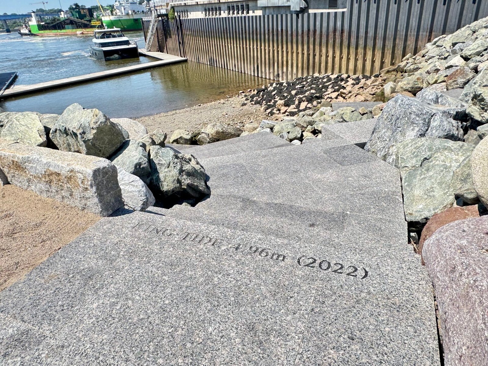
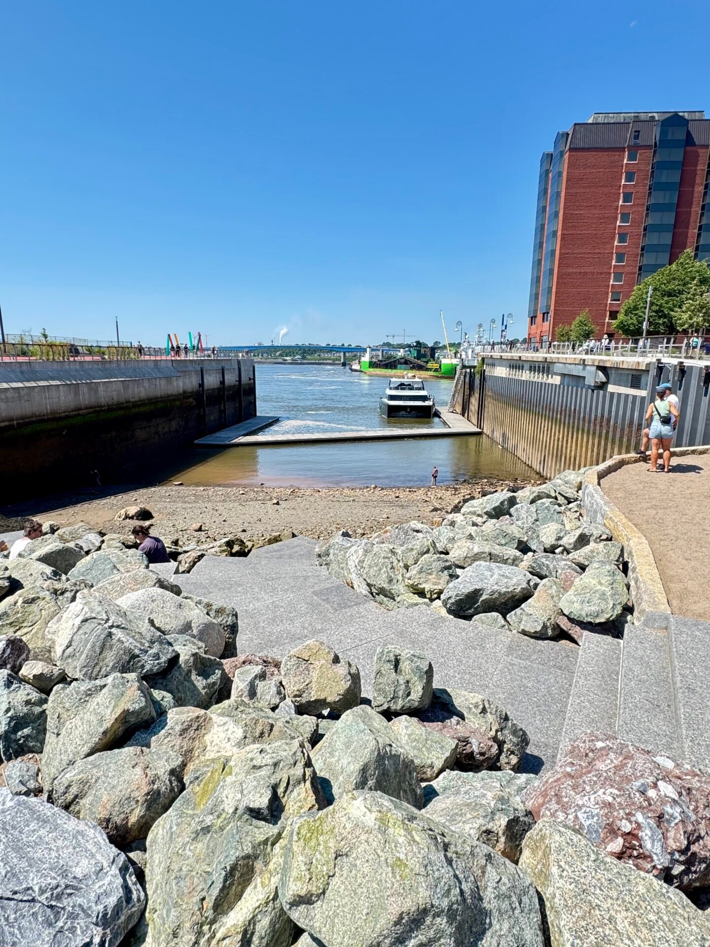
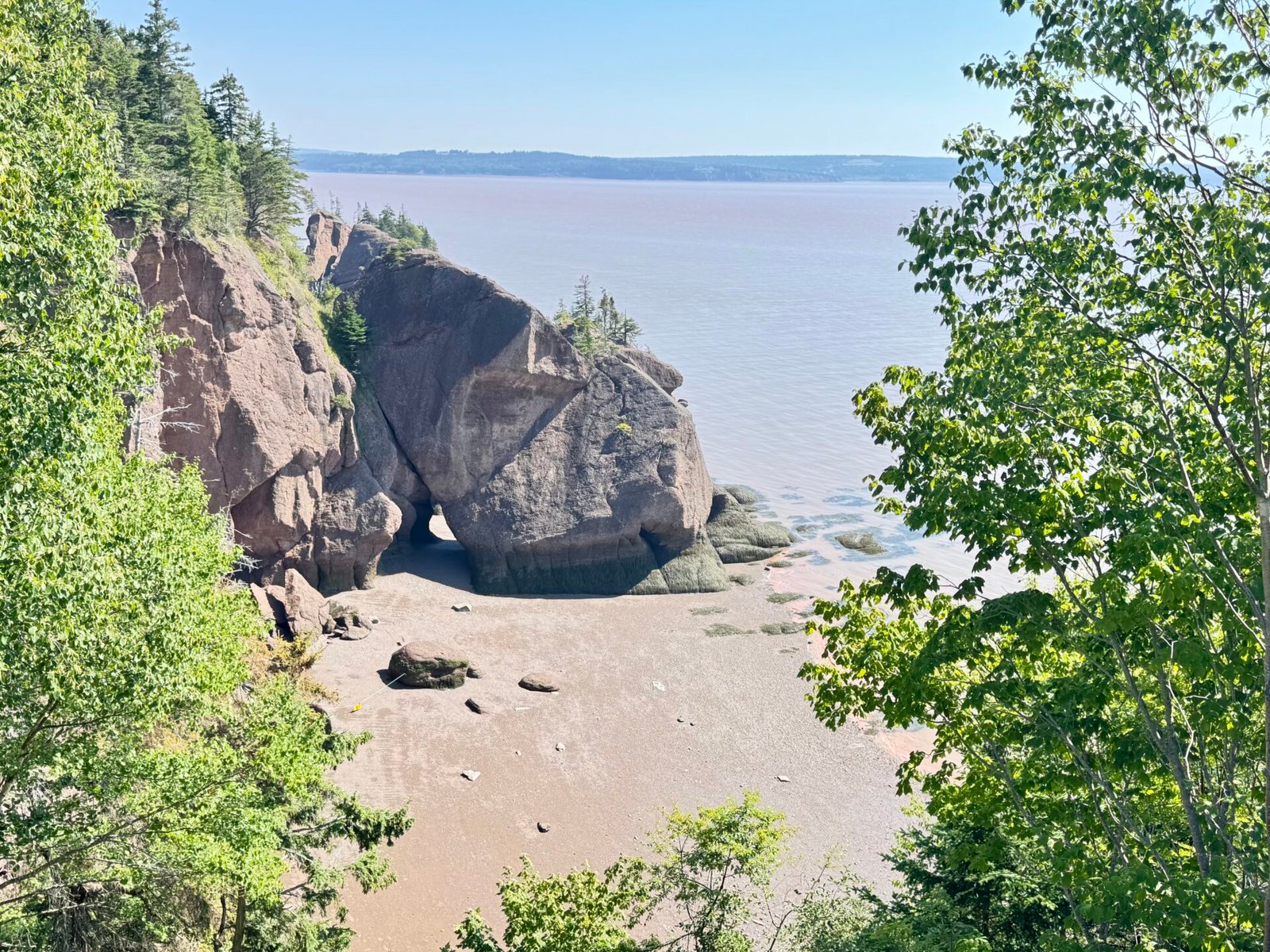
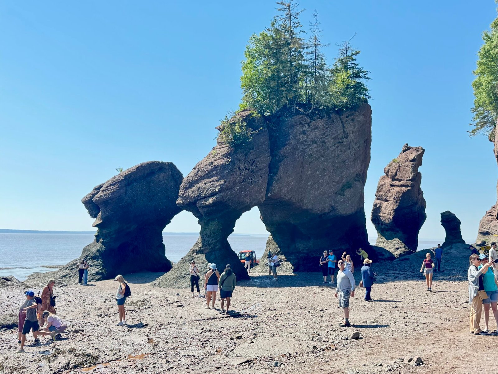
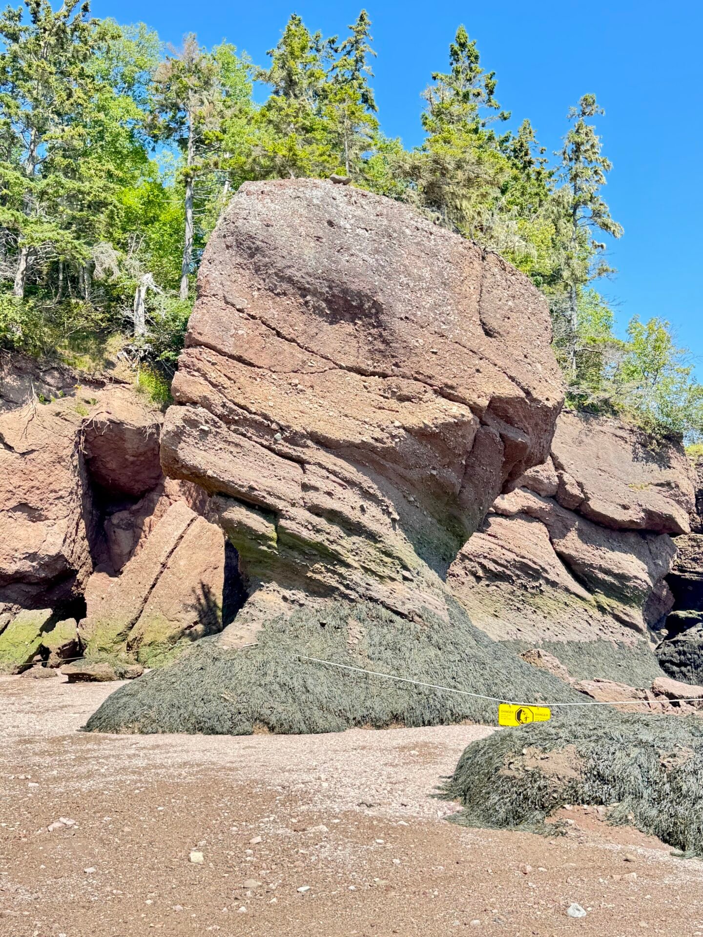
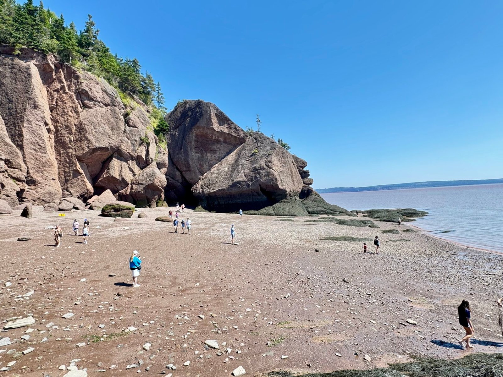
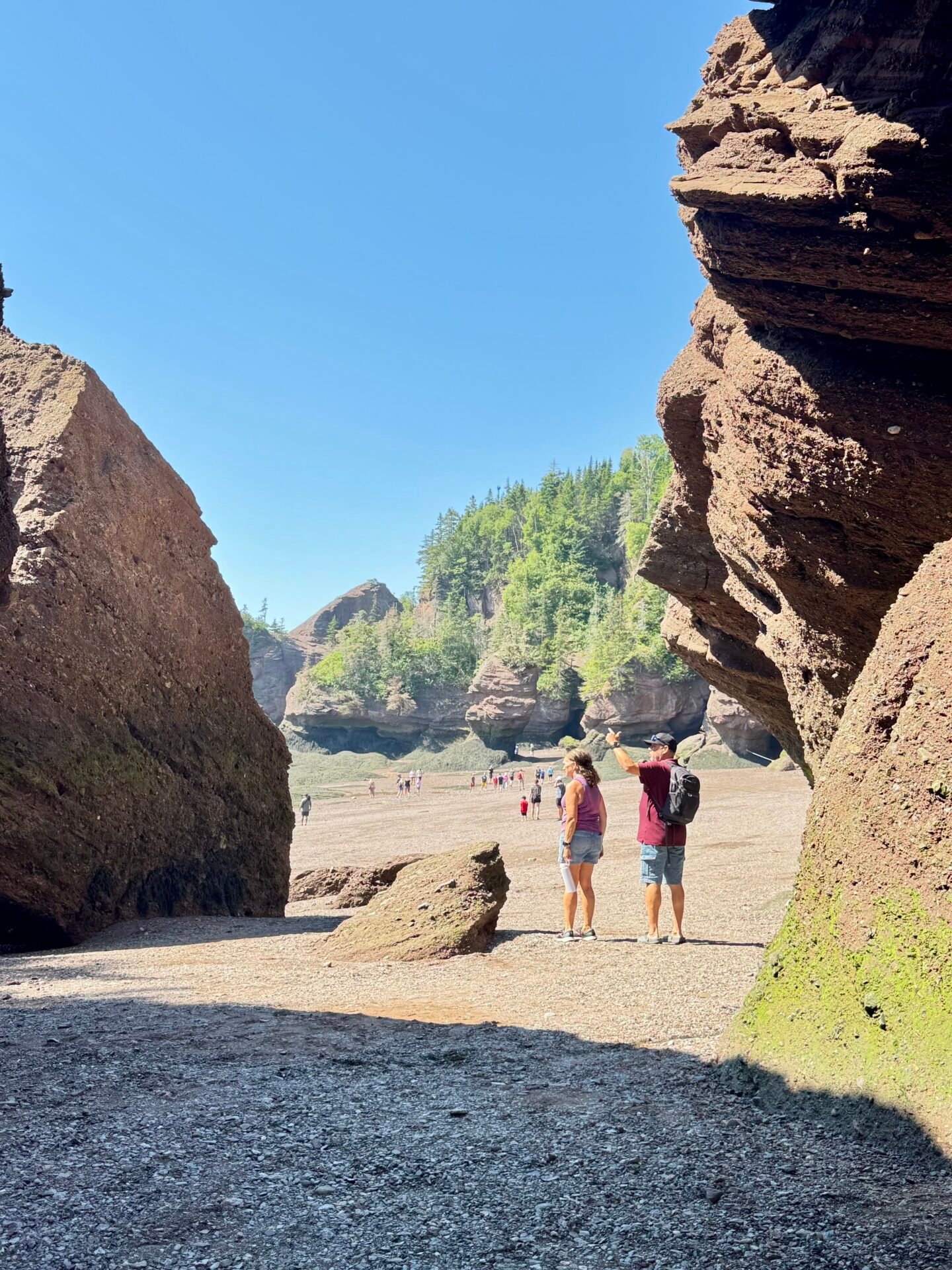
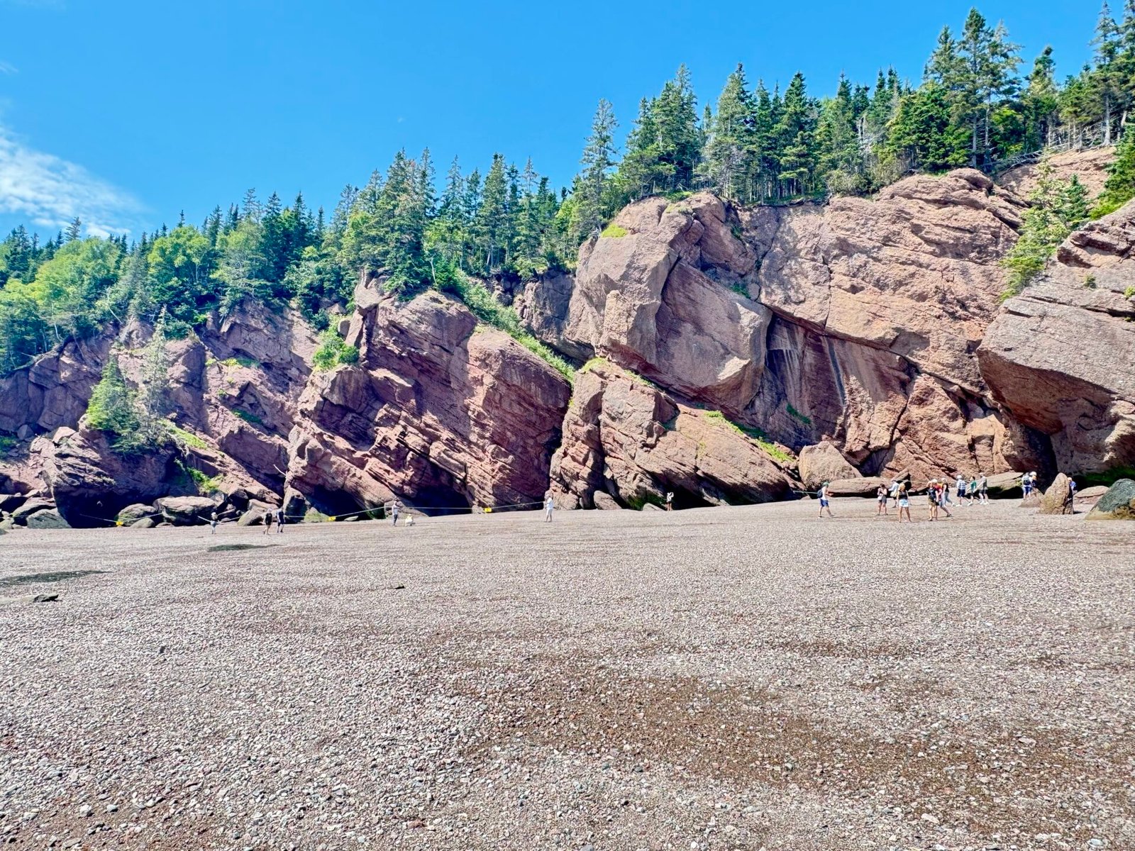
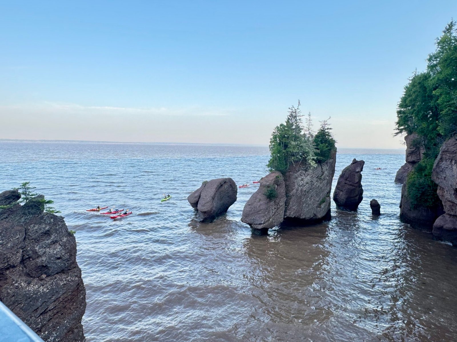
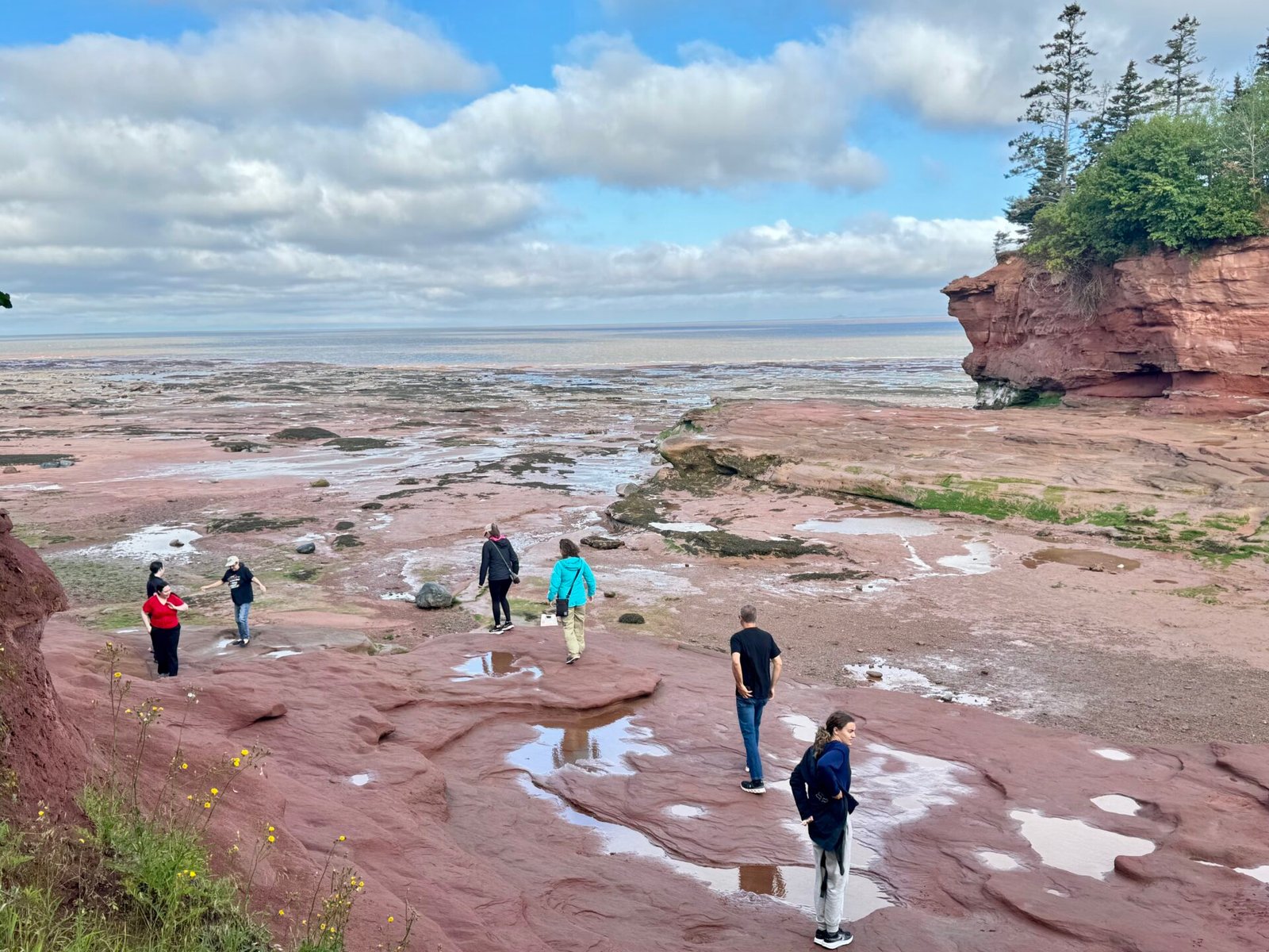
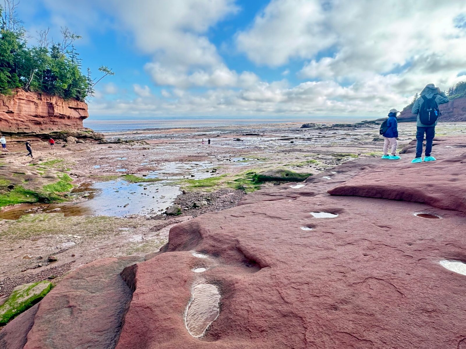
Driving to Moncton on Day 10, New Brunswick’s largest city, the main stop was Hopewell Rocks—home to one of my bucket list items: the highest tides on earth in the Bay of Fundy.
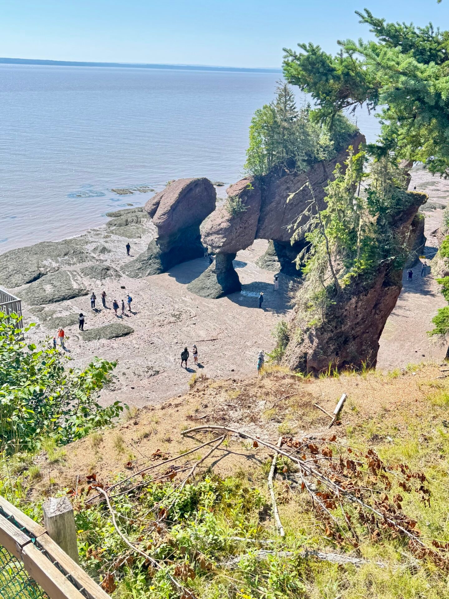
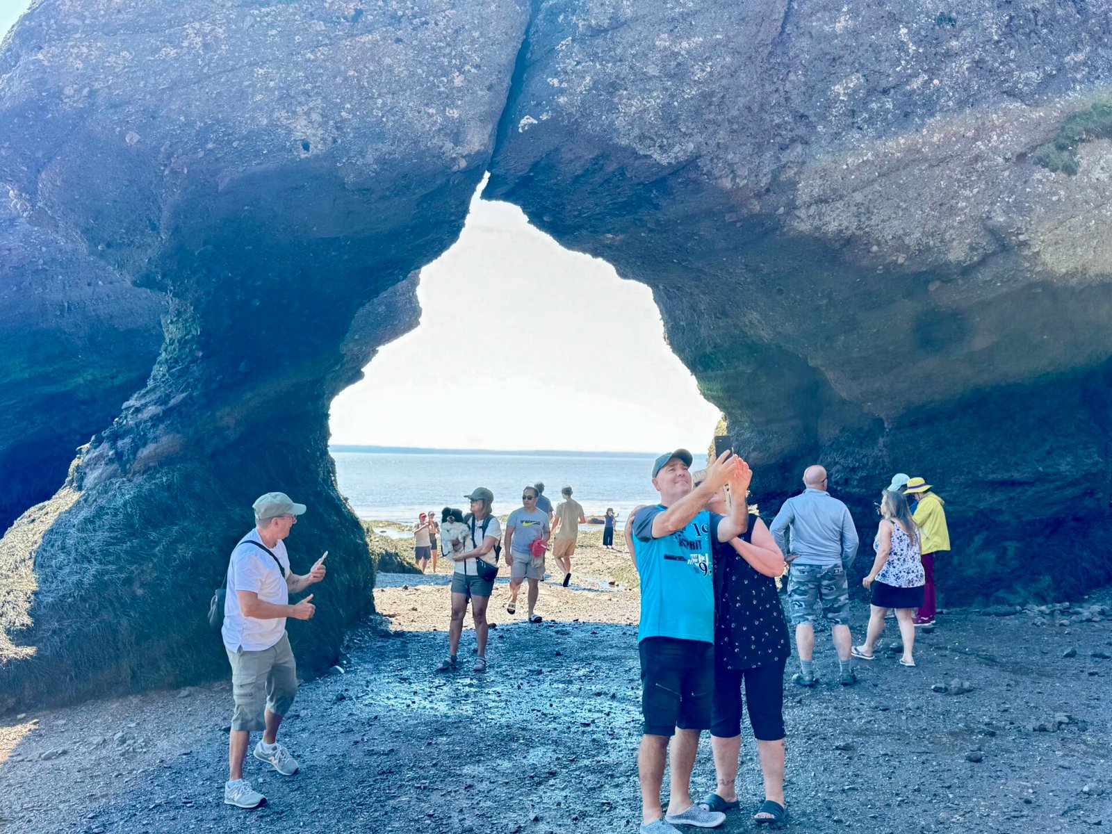
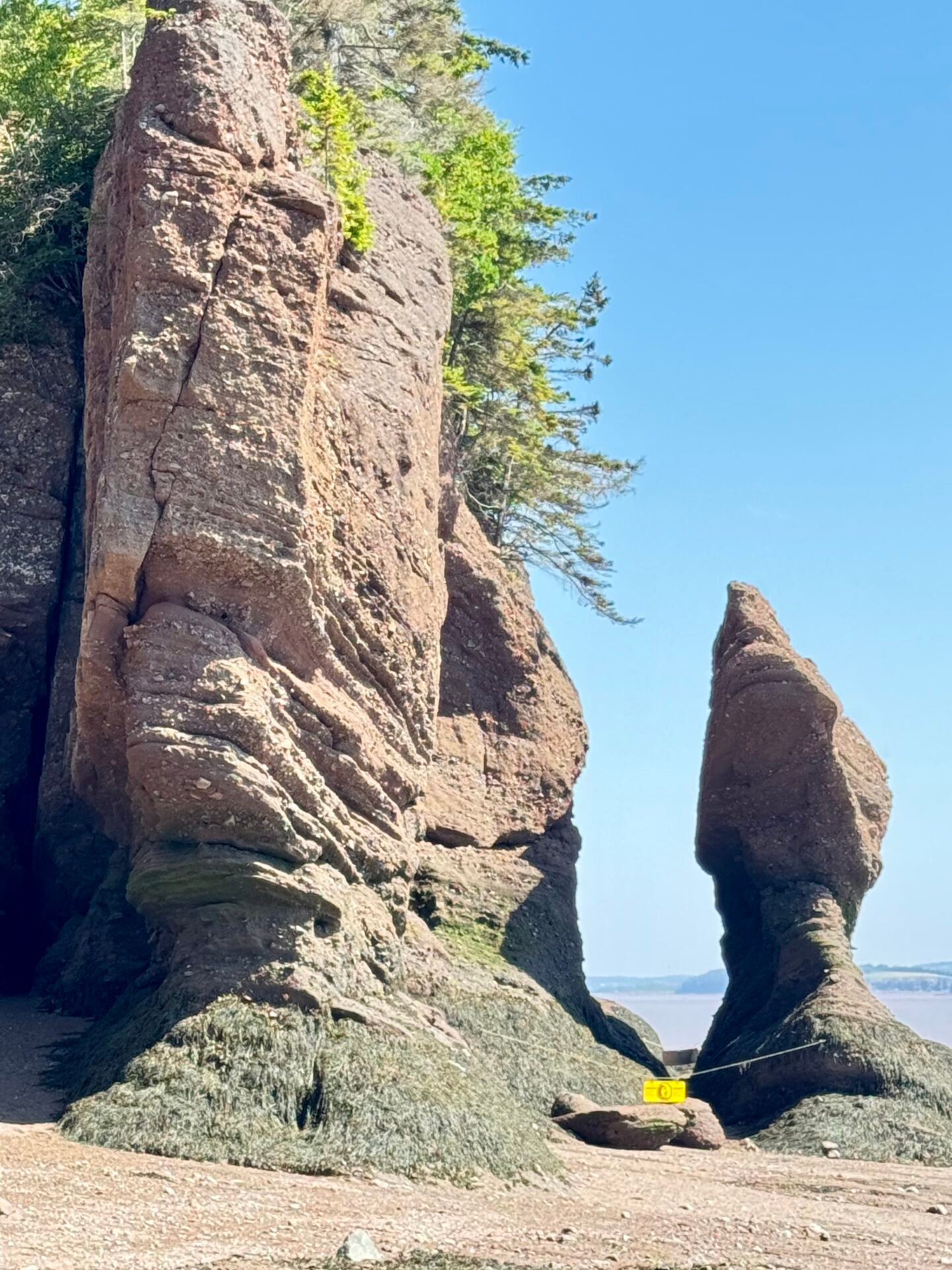
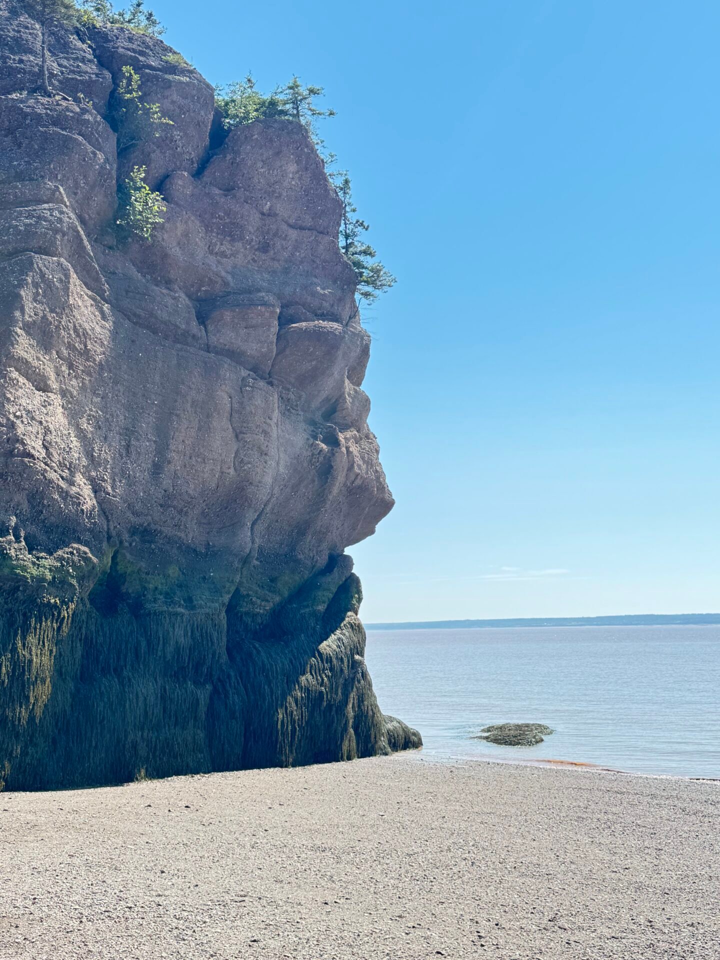
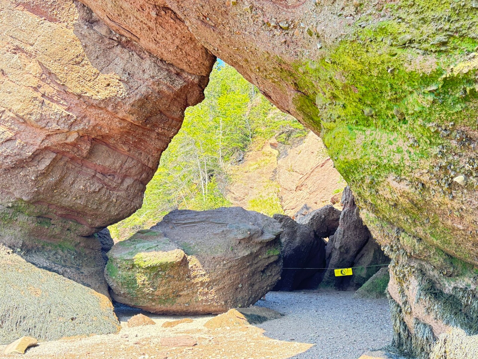
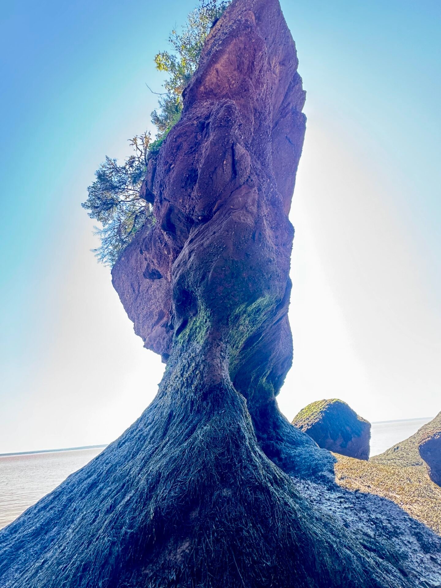
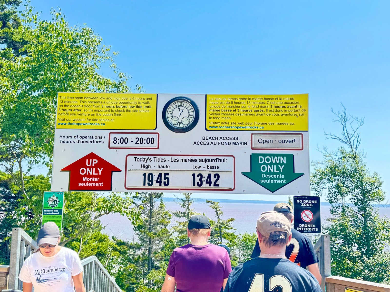
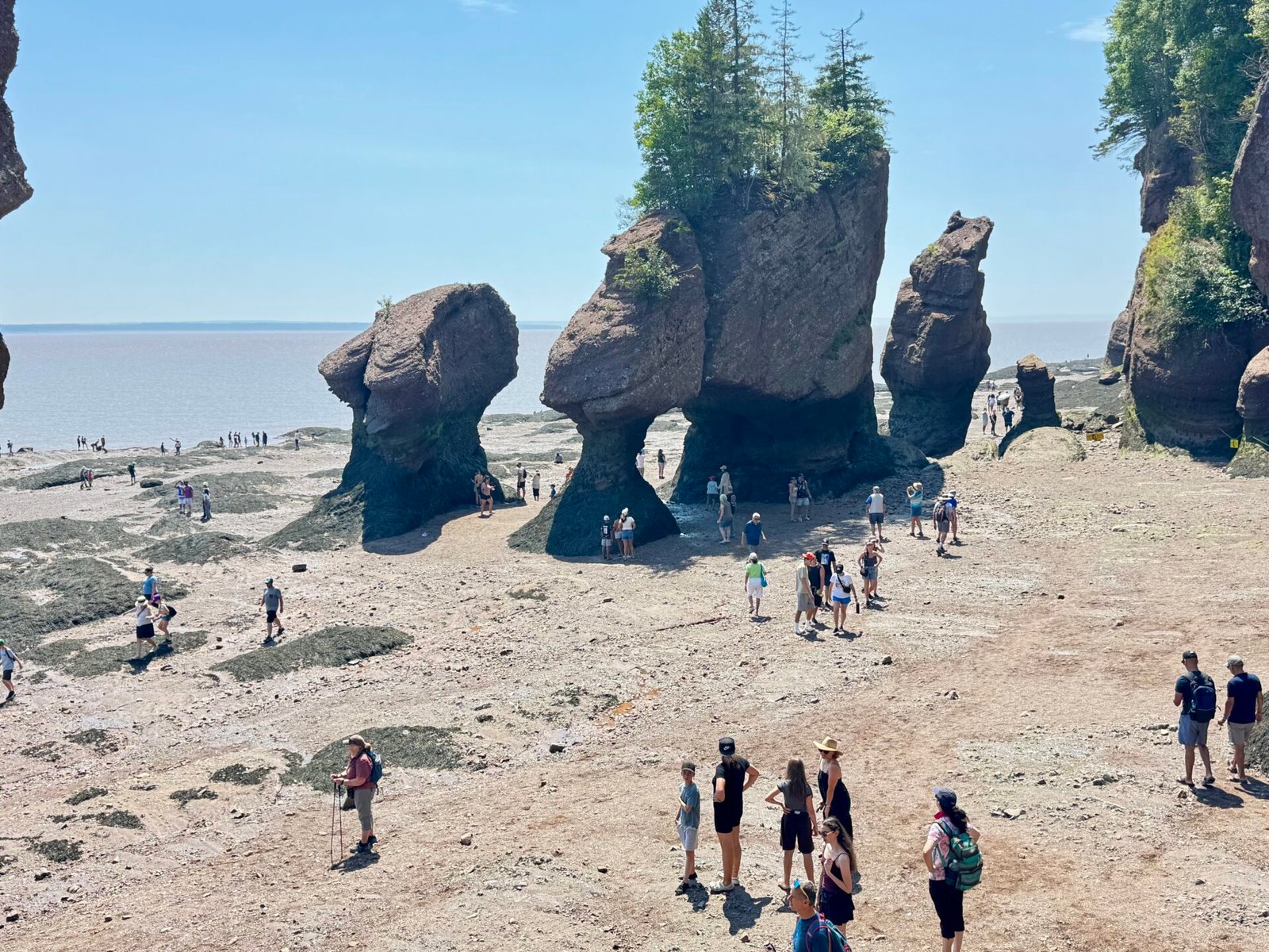
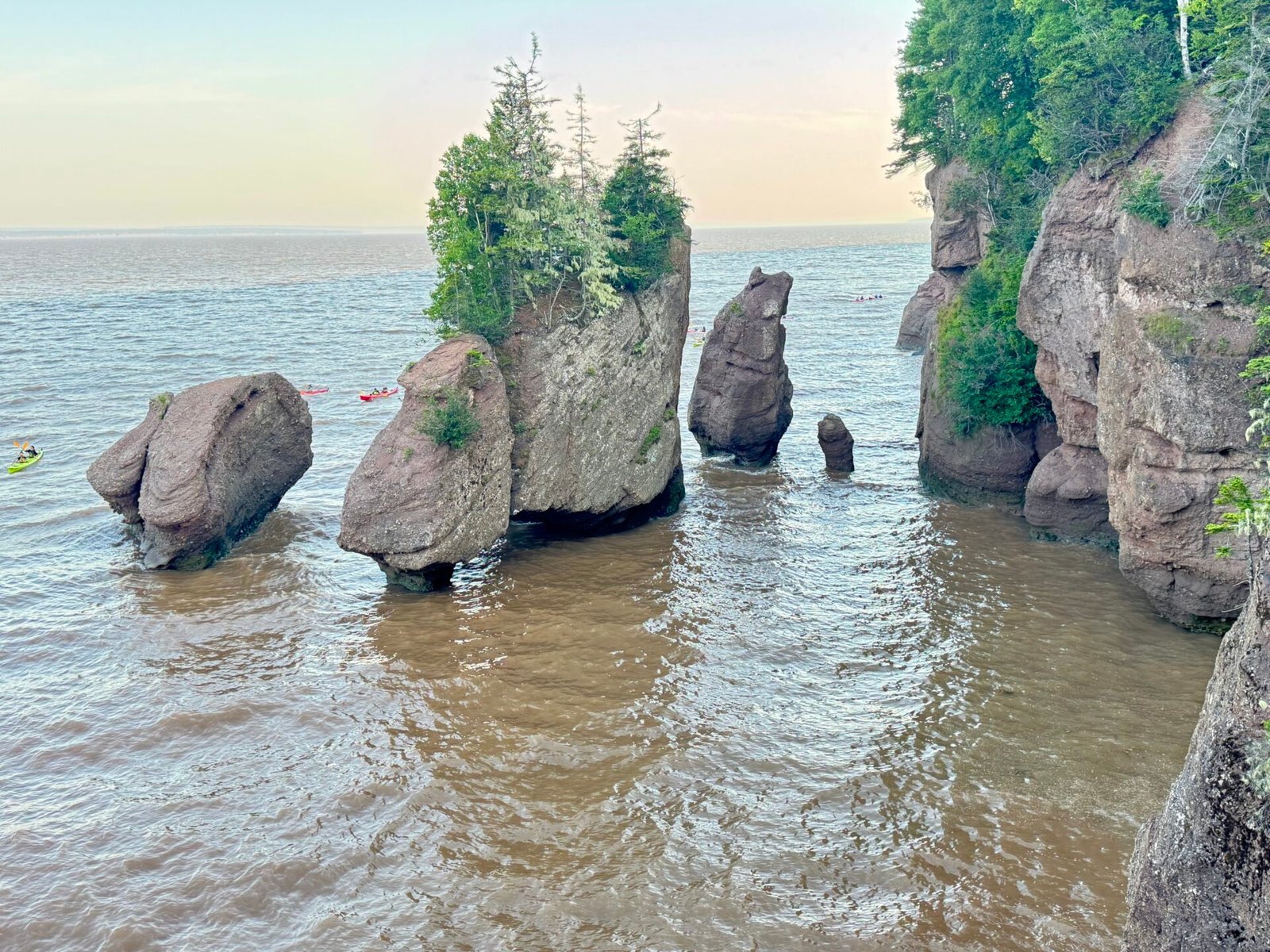
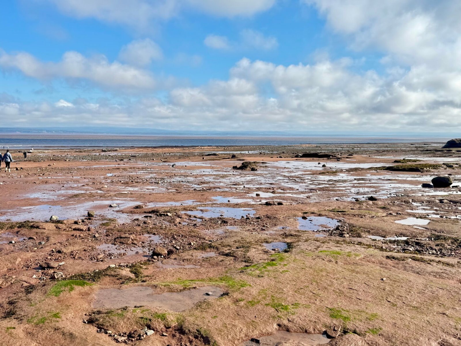
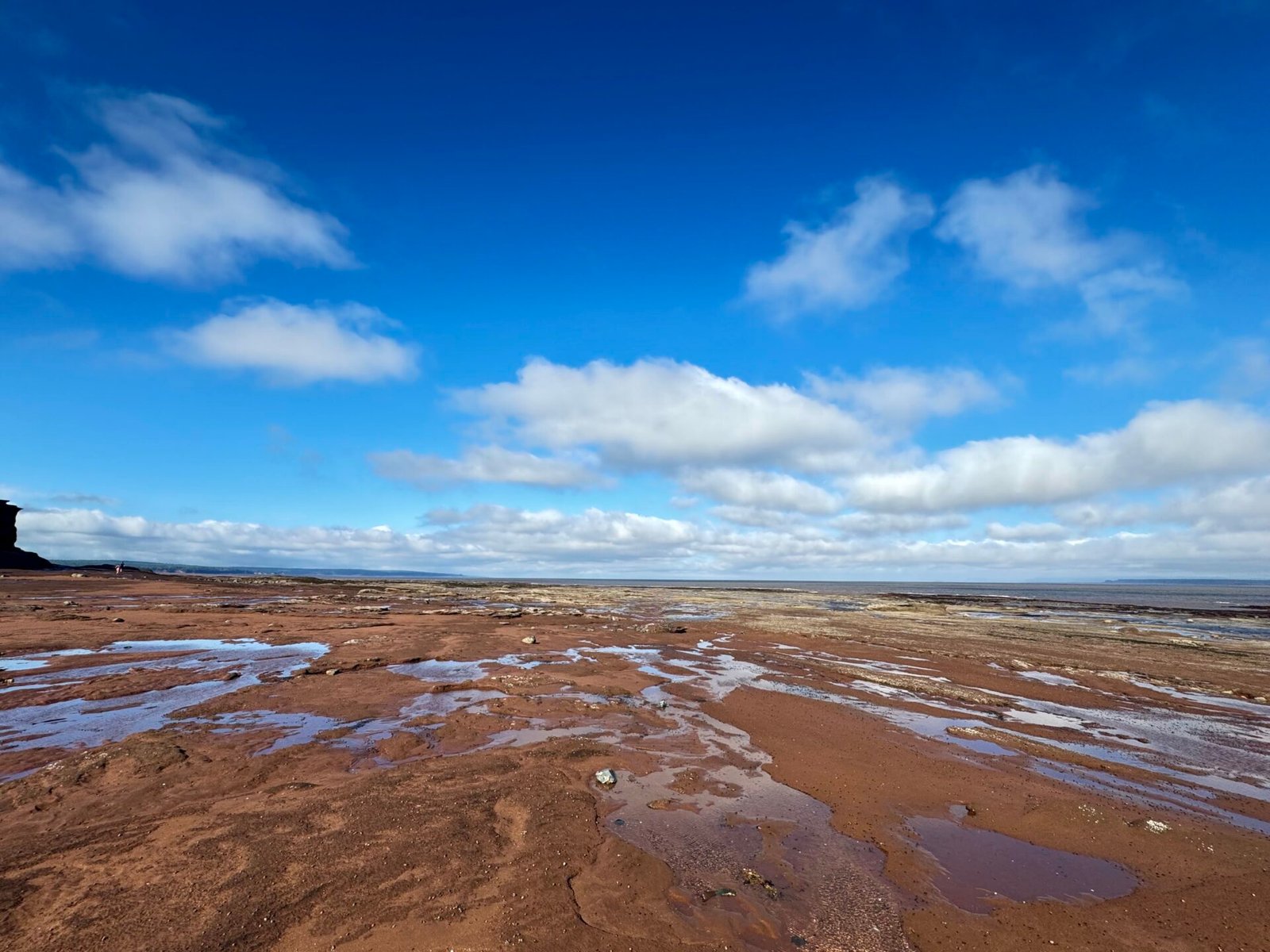
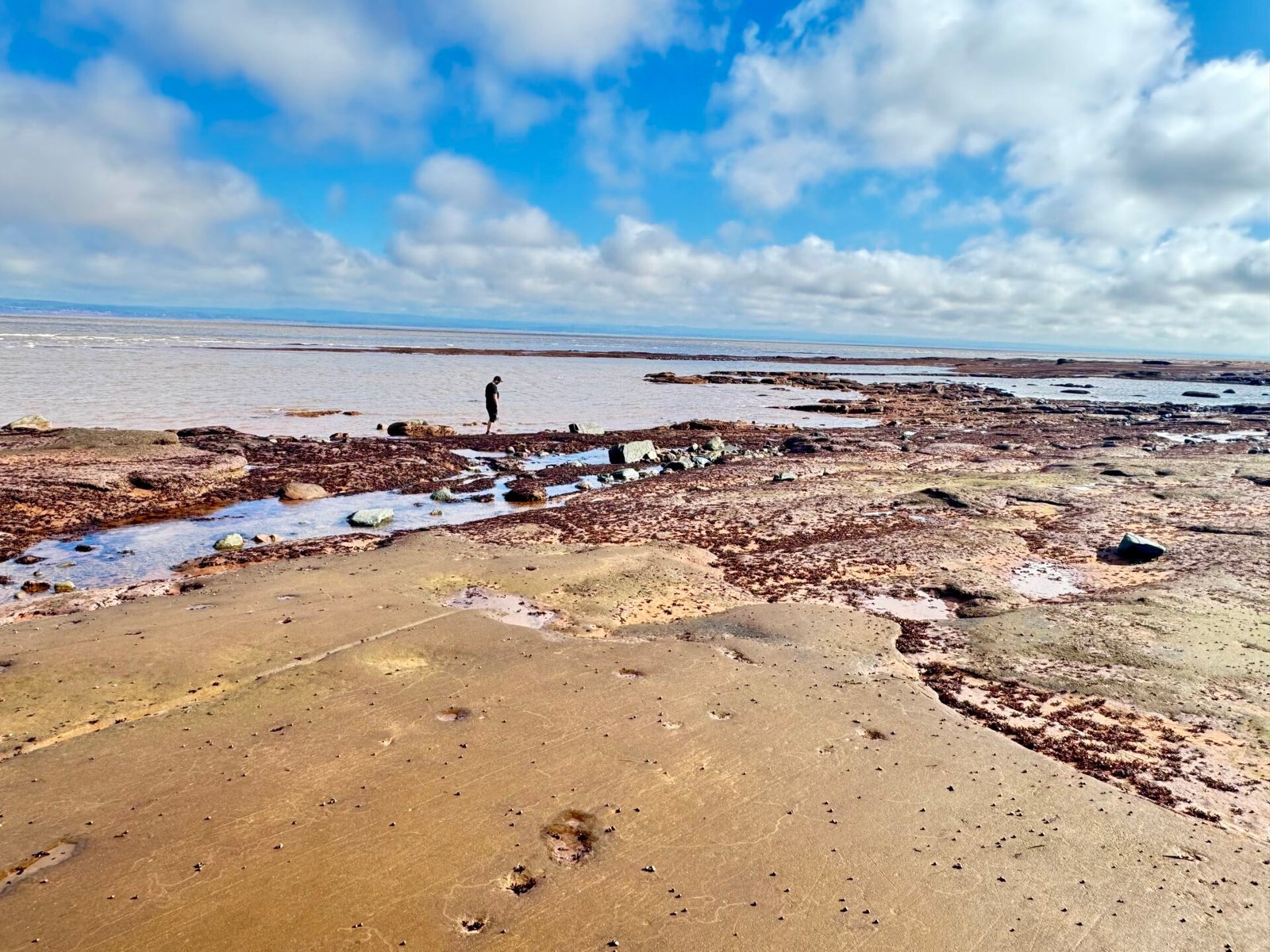
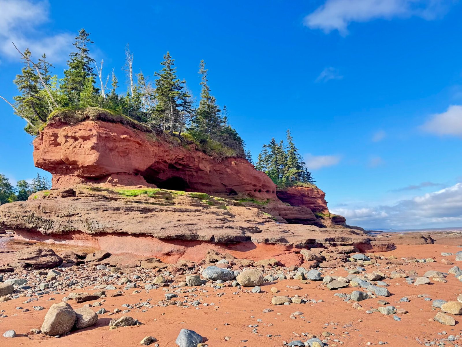
Here’s what the brochures don’t stress nearly enough: you need to time your visit carefully. Show up near high tide, and you’re staring at a few leafy rock islands sitting in murky water. However, show up at low tide, and you’re walking on the ocean floor under gigantic, top-heavy “flowerpot” rocks (that’s what they call them, in addition to one nicknamed “Jay Leno rock”) carved by millions of years of surging tides.
If you mess up the tide schedule, you’ve traded half a day for a muddy view or have to wait up to 6.25 hours. That’s how long it takes to go from low tide to high tide, or the reverse. Map out the tide charts before you lock in your hotel nights. If at all possible, look at the moon charts. NO, not astrology, but see when it will be a full or new moon. That’s when the tide changes are at their most dramatic.
As luck would have it, I was driving toward my hotel when I realized low tide was at 1:34 p.m., and I could still make it. So, I rushed there like an idiot.
I say that because when I was about 70 kilometers away, I looked down and saw I had only 35 miles of gas left. Since I was in the middle of Bay of Fundy National Park, there was no cell service. That’s when the wishing and praying started.
I made it to the park entrance and unloaded my stress on the guard, who was amazing. She said, “You’ve got 15 miles left? Hell, the next gas station is only 9 miles away. You’ve got plenty.”
From there, I watched my console’s gas-mileage screen like it was a heart monitor. Downhill, I shifted into neutral. Uphill, I crawled along at about 50 miles an hour. I finally rolled into the gas station in Alma with three whole miles to spare.
I promised myself I’d pay better attention to the gas gauge from then on.
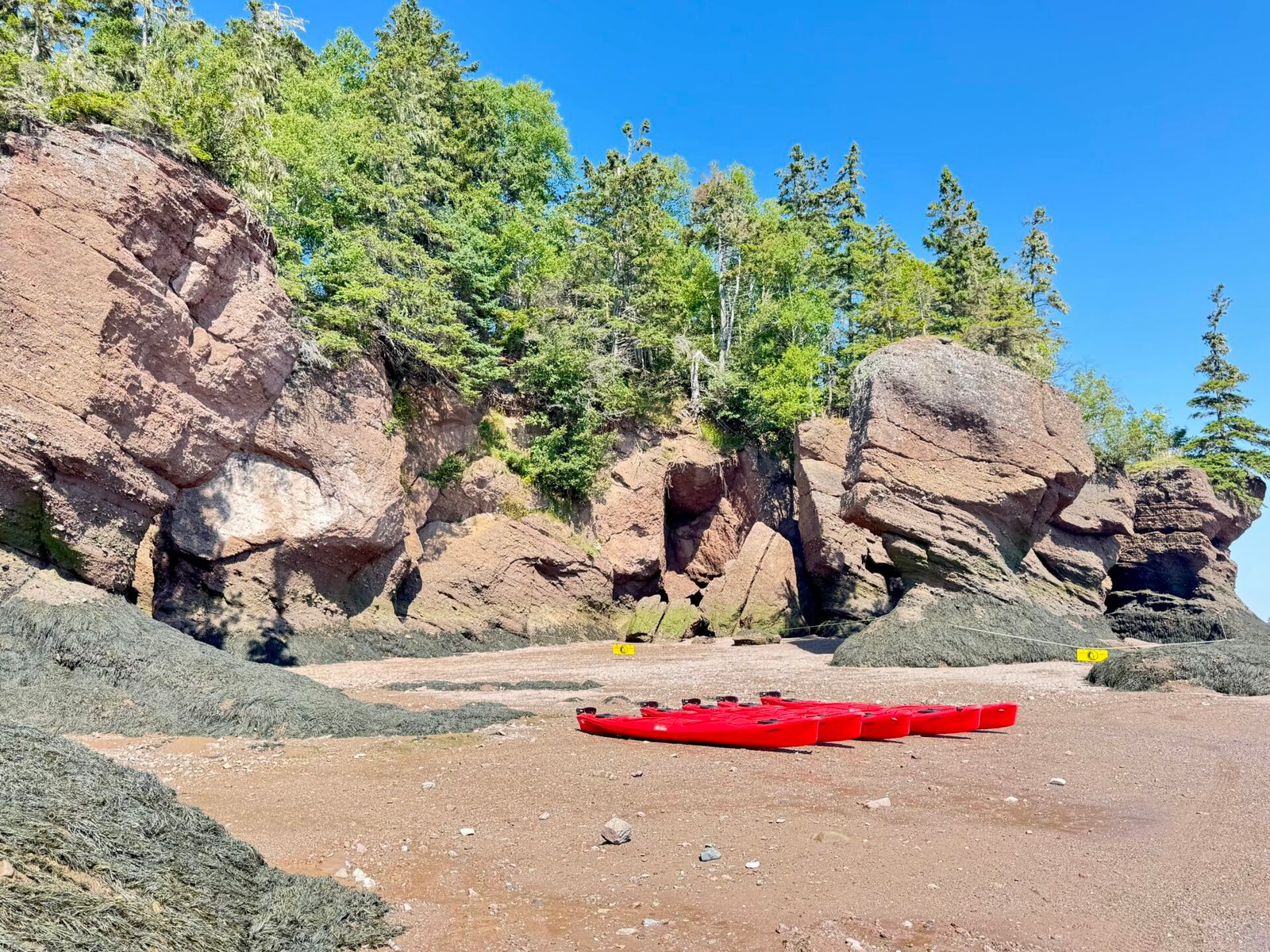
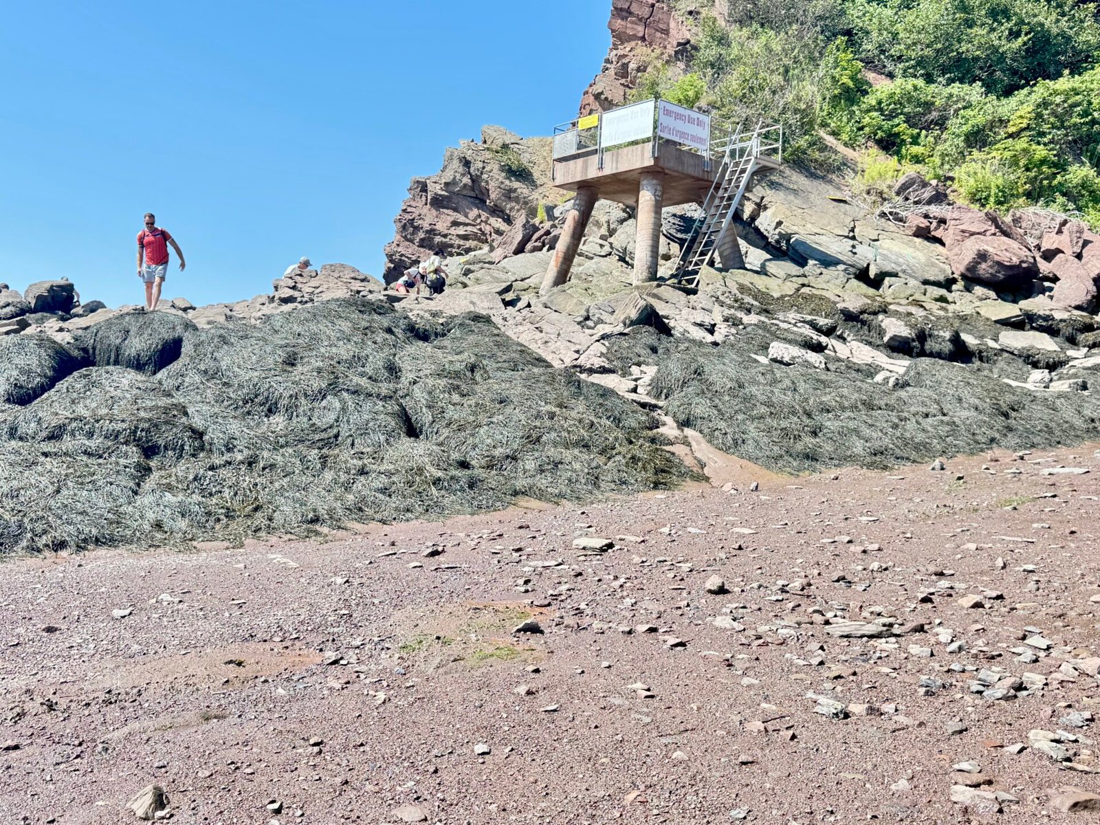
Here is just a taste of what the Bay of Fundy, Hopewell Rocks Provincial Park was like:
Phase 3: Anne of Green Gables, Cabot Trail, and more Bay of Fundy tides (Days 12–17)
Prince Edward Island
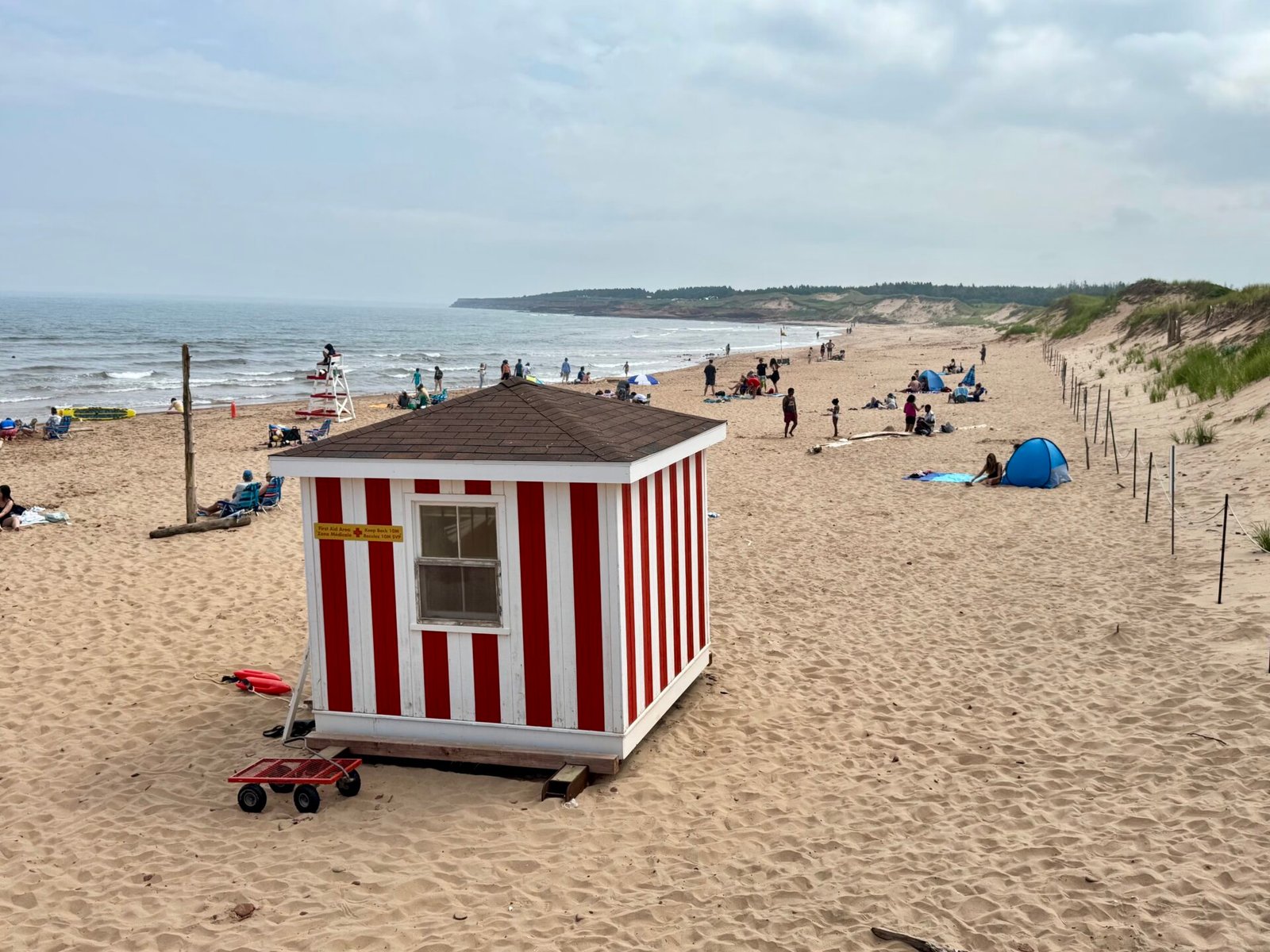
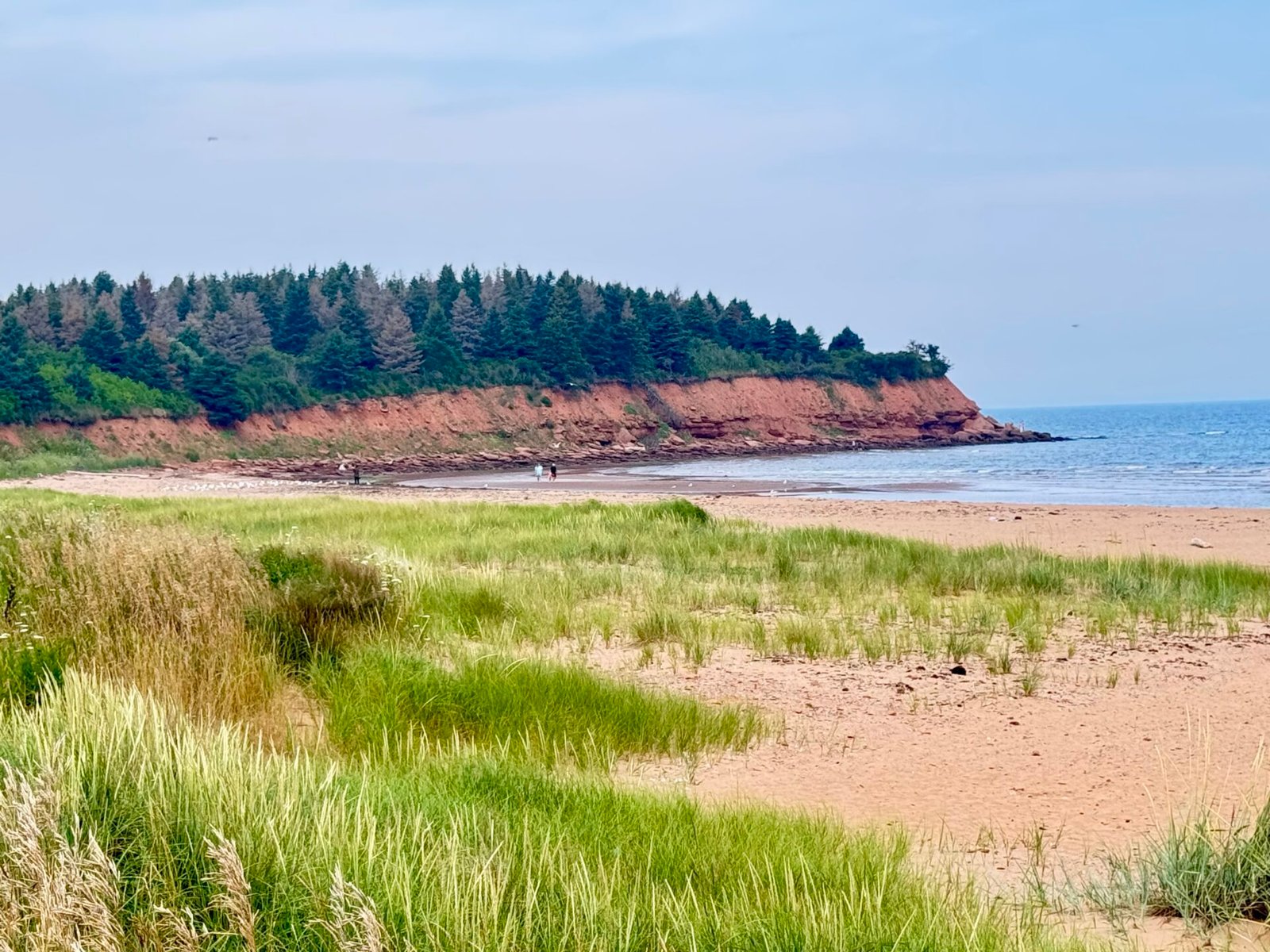
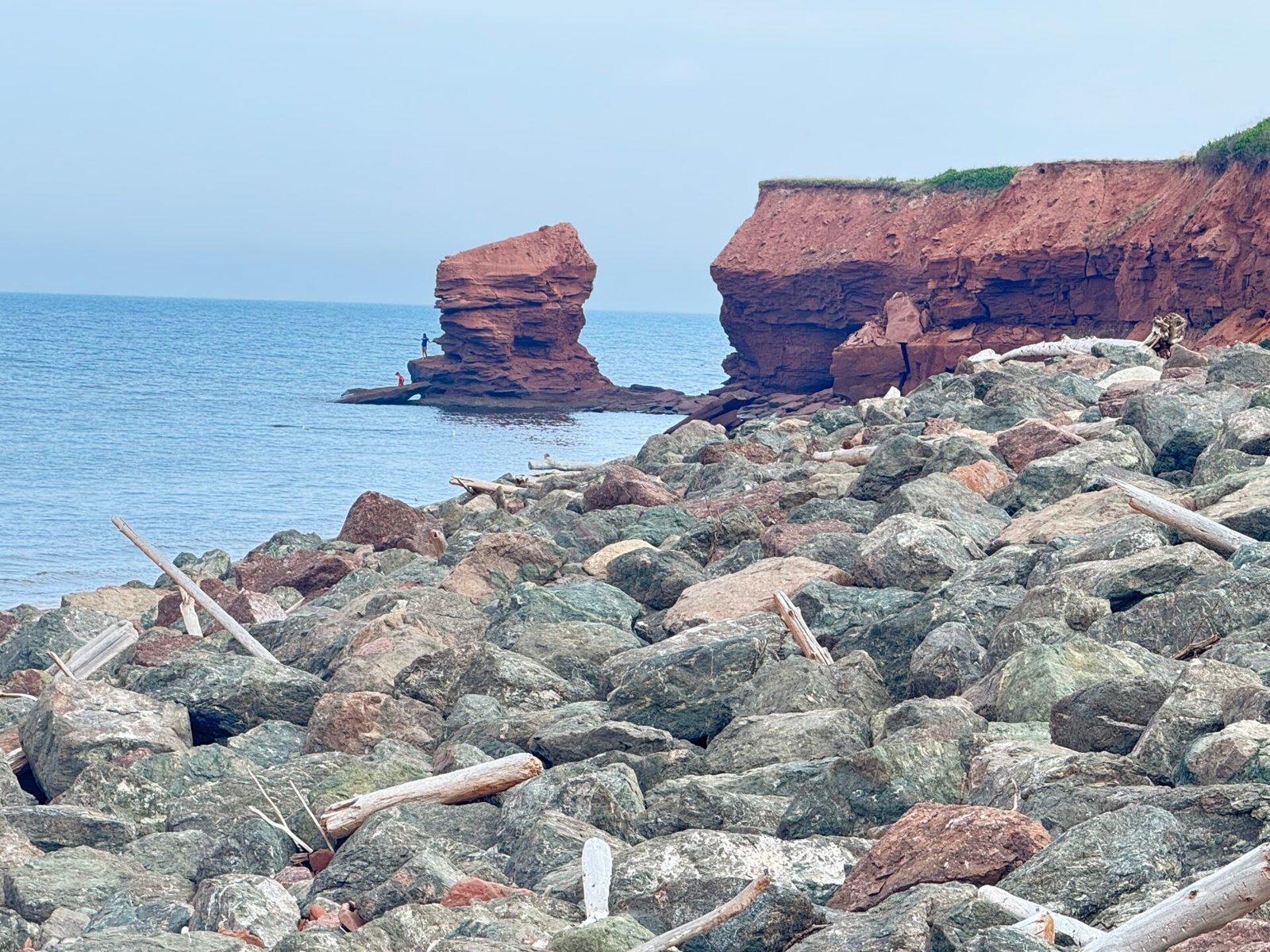
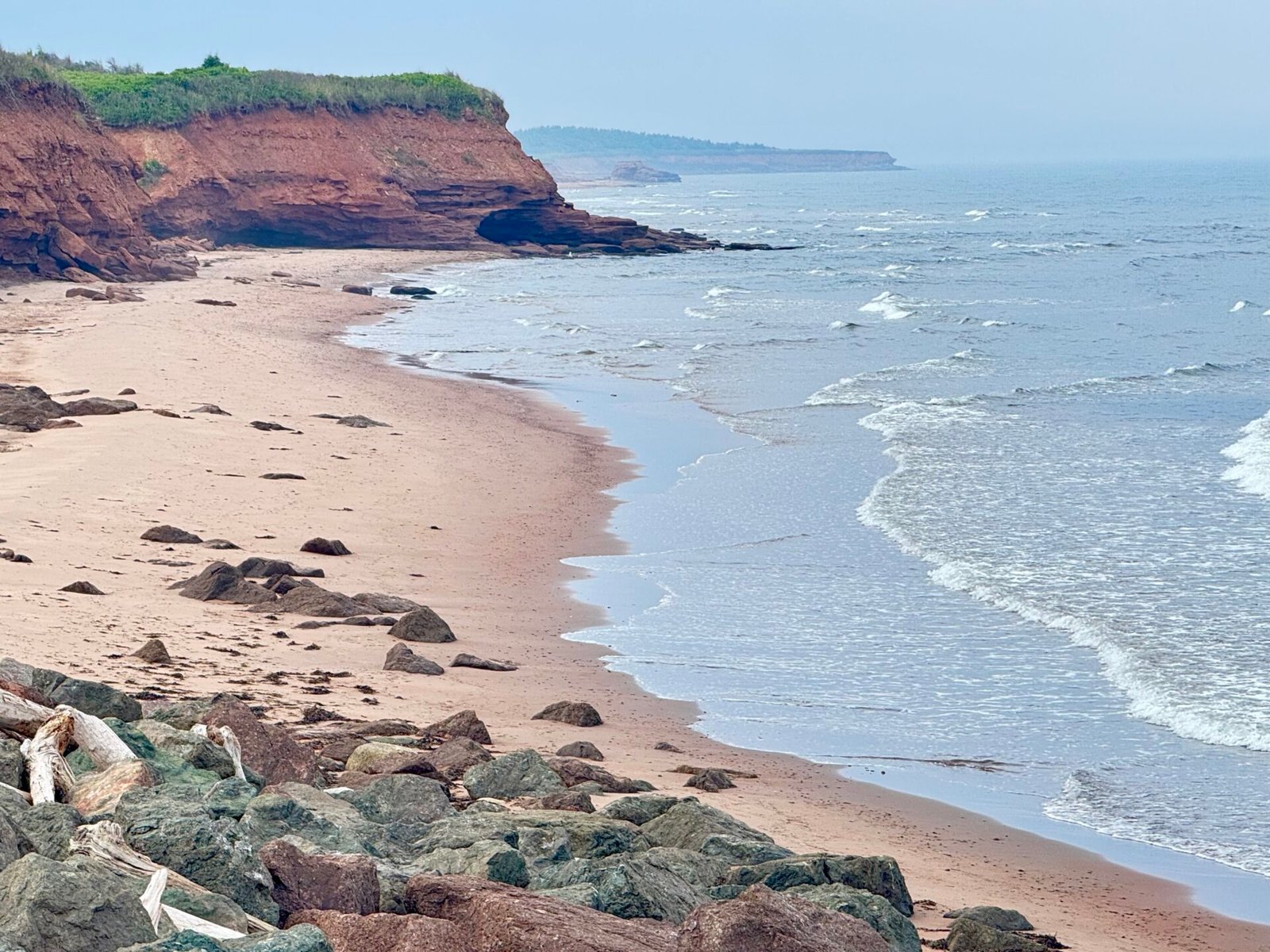
Crossing the 8-mile Confederation Bridge into PEI is a surreal drive, and free for those going North. I stayed at a hotel in Charlottetown for two nights, and it was an easy drive to most of the island. PEI is about the size of Delaware, so you can easily drive from anywhere on it to anywhere else. It looks like a postcard: deep red dirt cliffs along the north coast, bright blue water, and neon-green farmland and wonderful seafood.
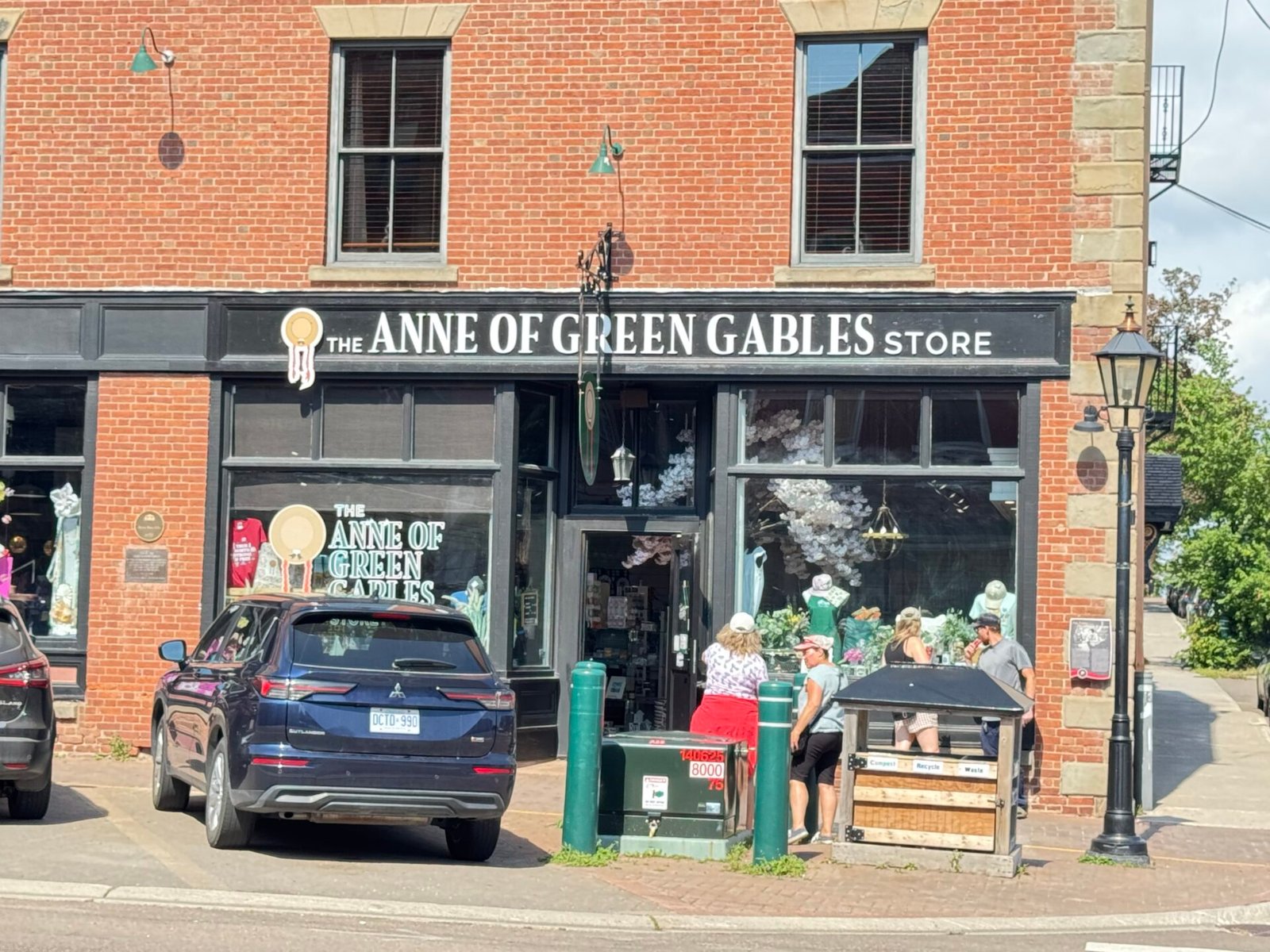
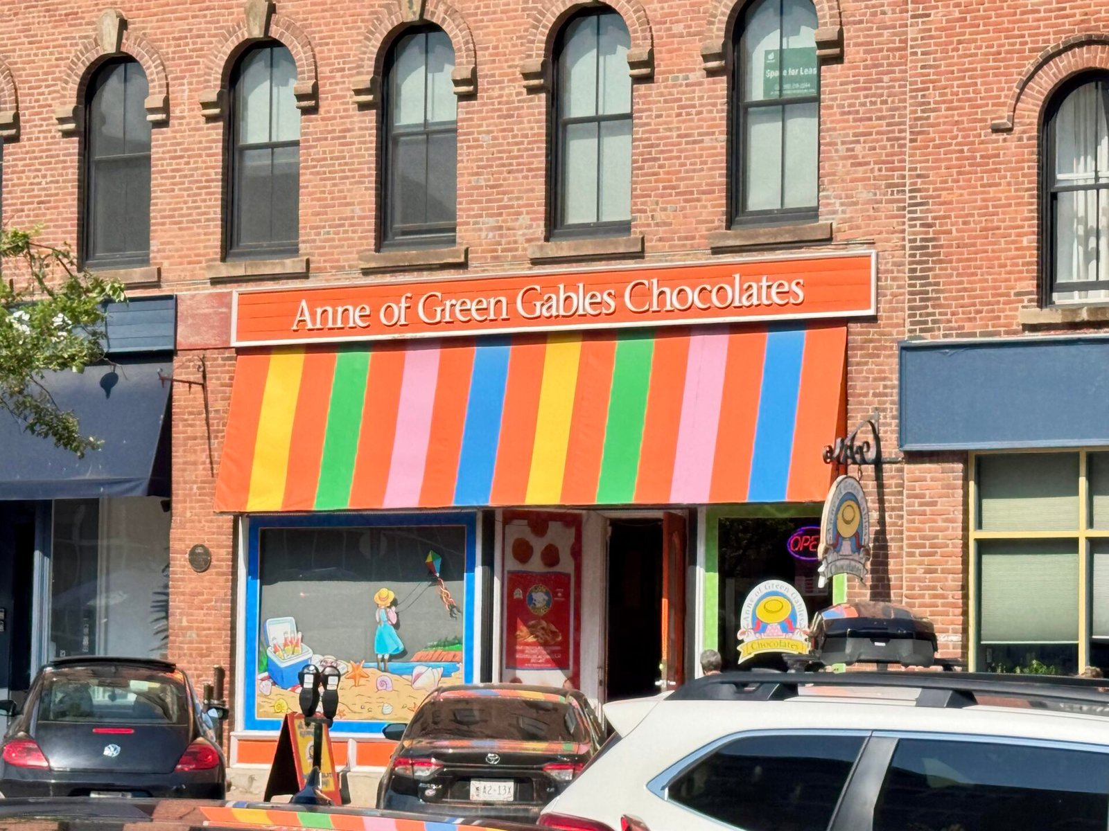
Did you ever read Anne of Green Gables as a kid? No, me neither. But I’d heard enough about it to understand what it was; I didn’t know it was real and on Prince Edward Island. You will know this because it is everywhere: shop names, road signs, and even theater performances of Anne and her crew. The homestead, Heritage Place, is a stop to go over all things Anne. It’s fine if you’re a die-hard fan of the books, but PEI’s real magic happens on the unpaved red-dirt roads along the North Shore, the rolling farmland of potatoes, discovering Charlottetown and its history; all well away from shops selling cheap synthetic red wigs (no joke).
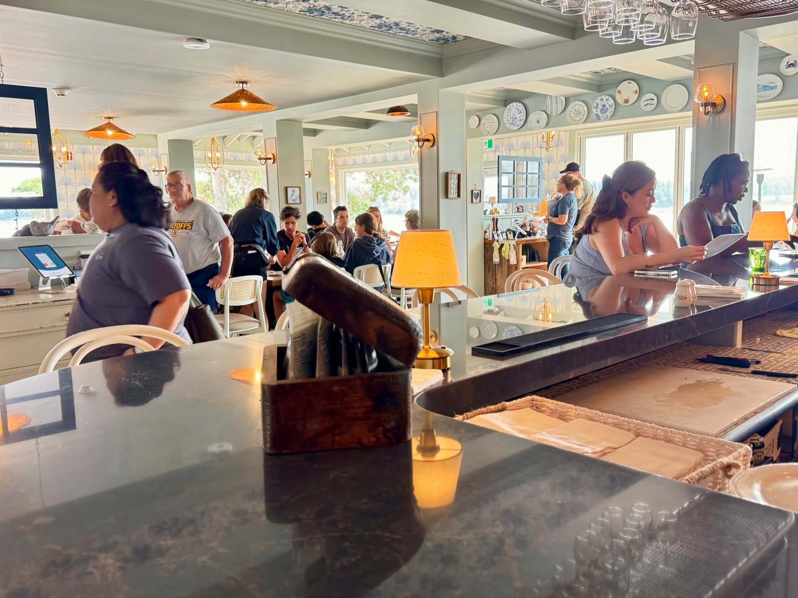
I had read about this restaurant, Blue Mussel Café, and made a point of having dinner there. It is beautifully set against an inlet in the center of the island and has some of the best seafood (yes mussels, but so much more) I’ve ever had. It is usually booked up in advance, and there was a line outside the door when I got there. Luckily, they had a bar, and I got a stool right away and ate to my heart’s content.
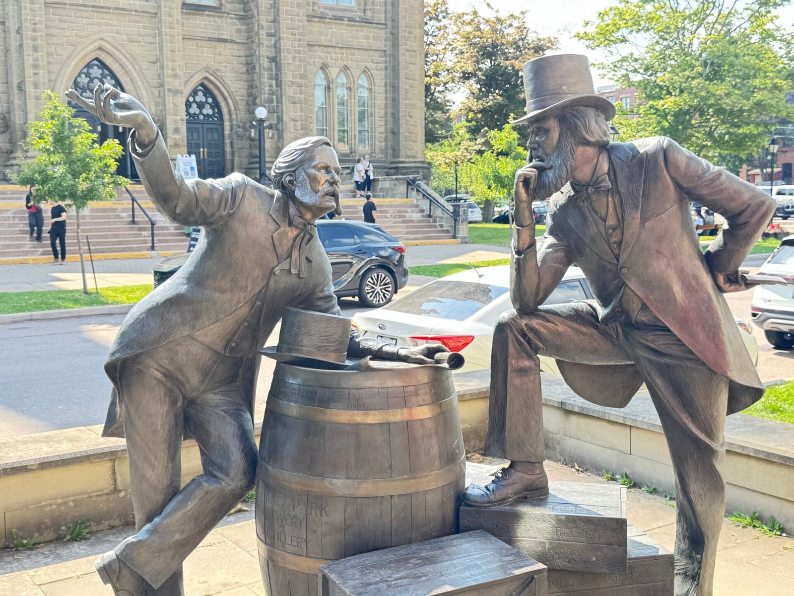
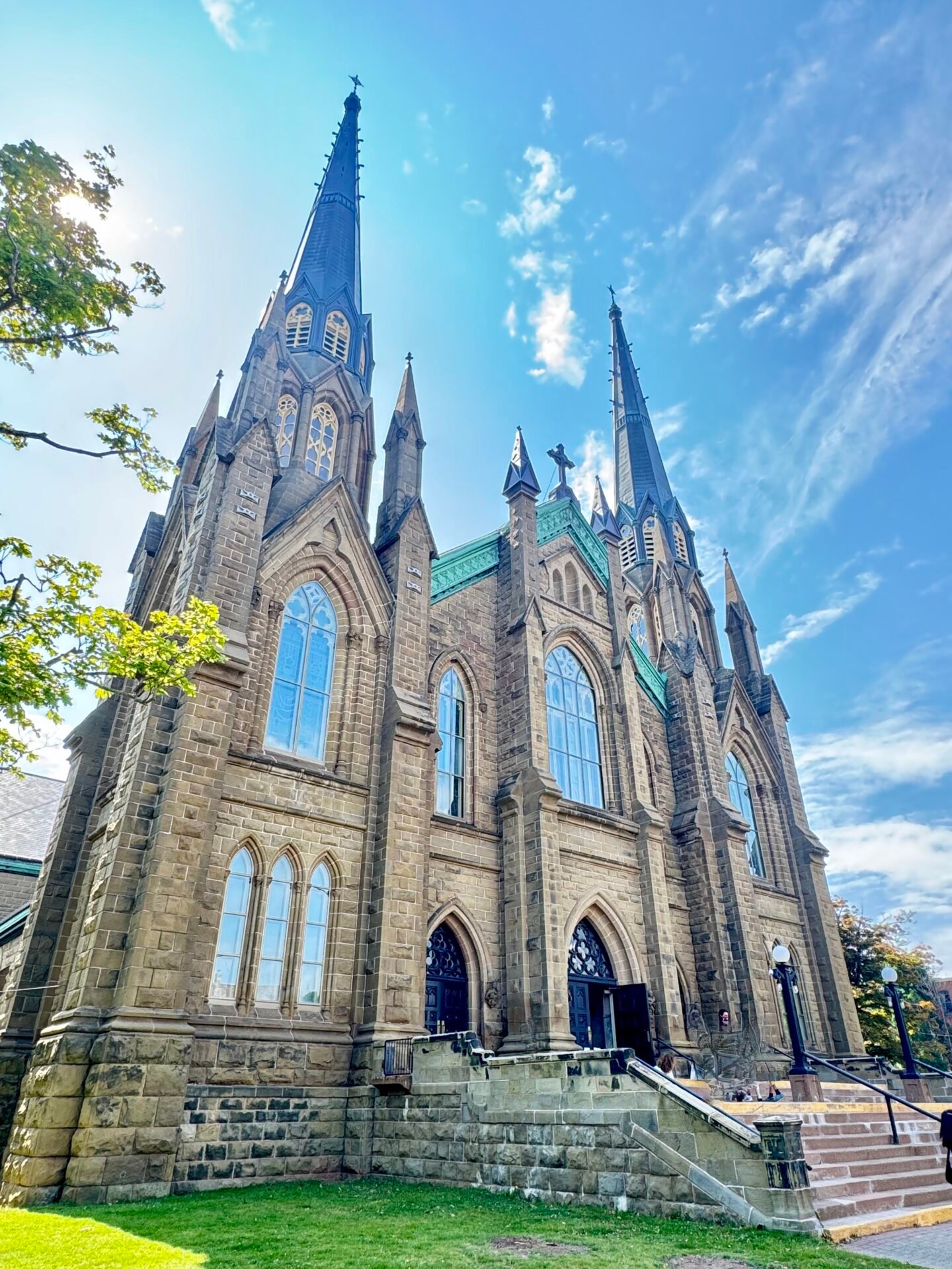
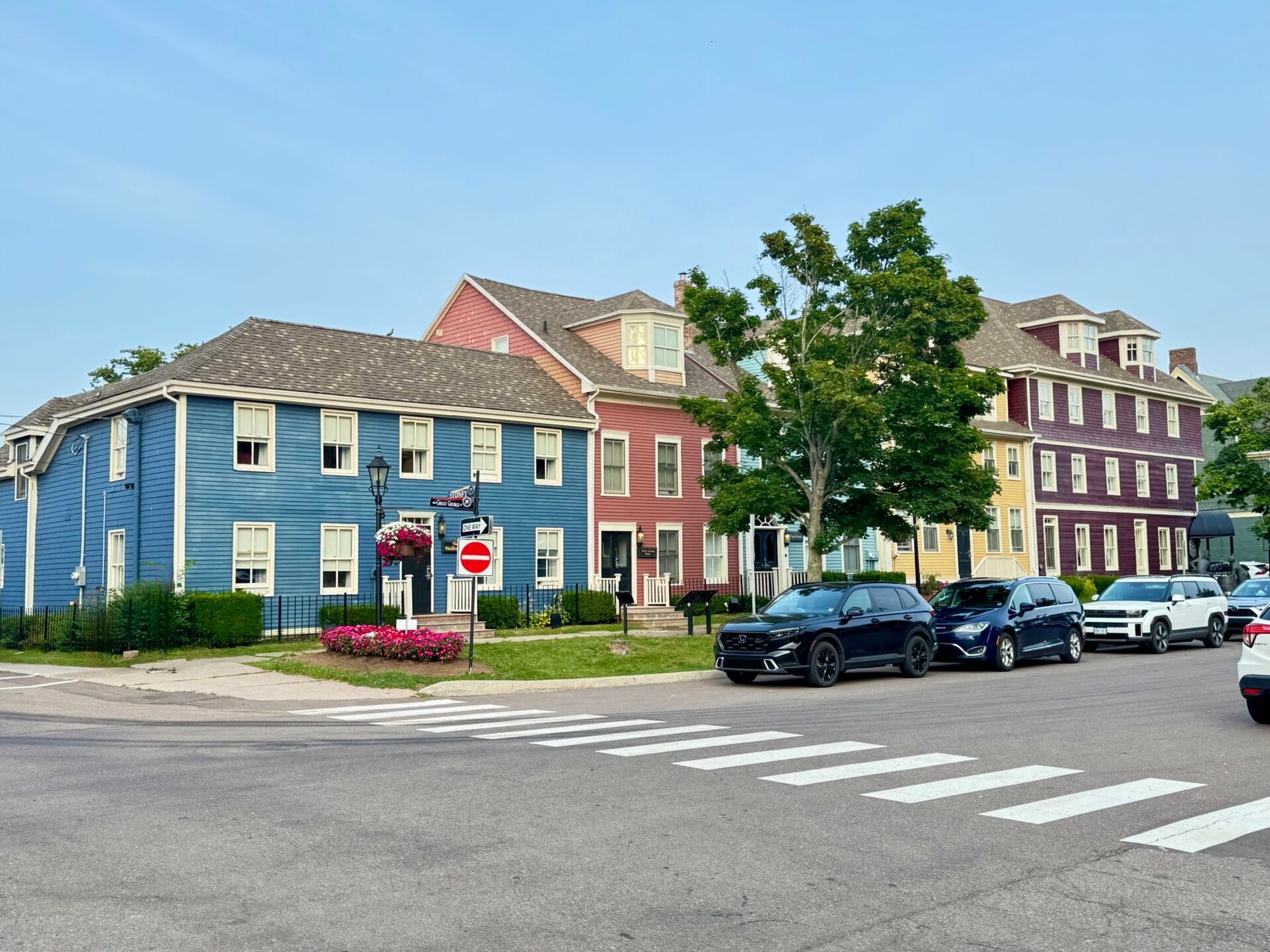
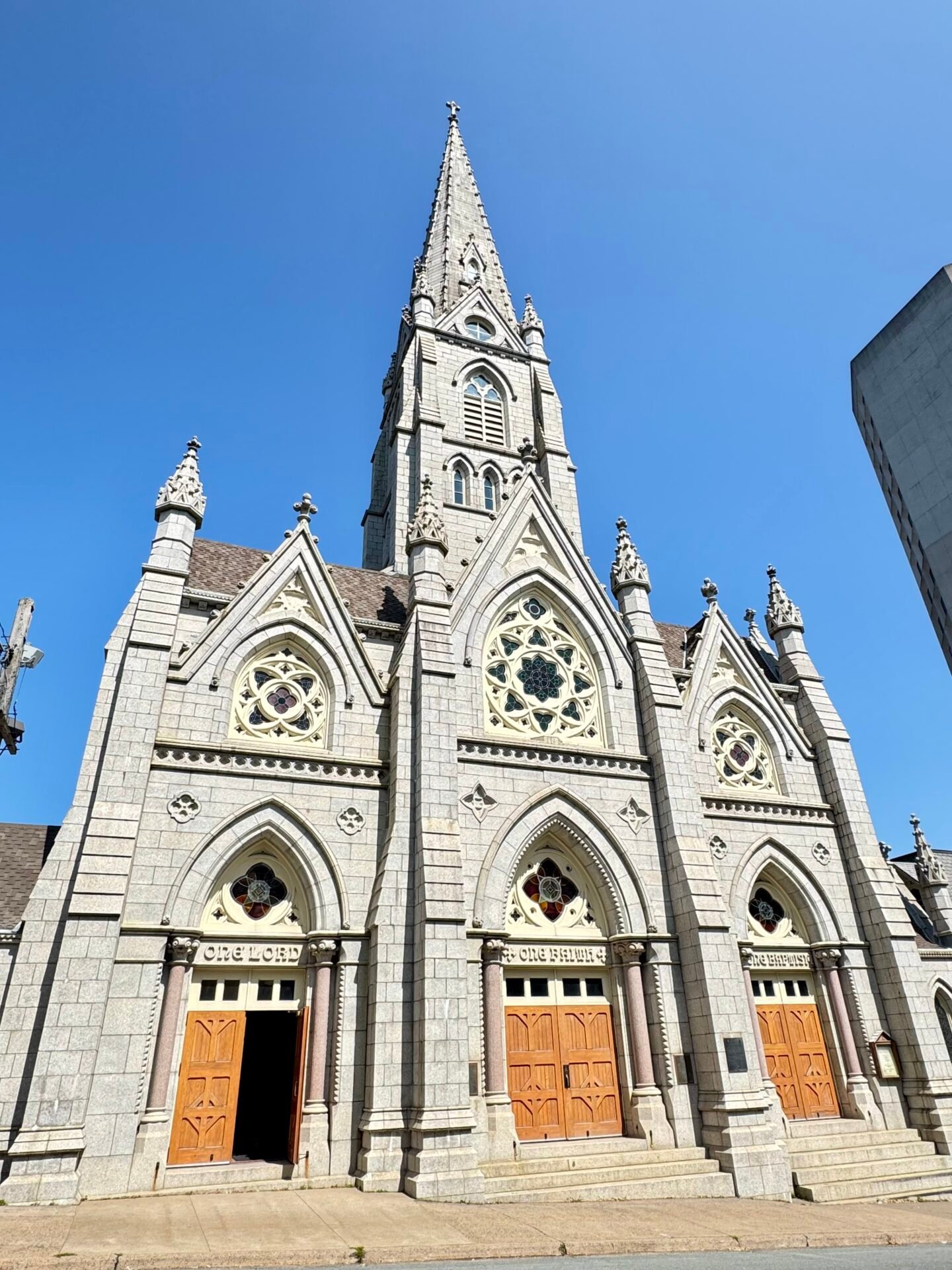
Charlottetown is a wonderful city, steeped in Canadian history, and enjoyable to discover. It was where the first meeting of the Confederation happened, when provinces started thinking of forming their own country while still being loyal to the Crown. Has a beautiful basilica and a fun small port with restaurants and shops. You can also buy T-shirts dyed in red dirt; though I restrained myself, they did look cool.
Cape Breton & The Cabot Trail
On Day 14, I took the 10:00 AM ferry from Charlottetown, PEI, to Pictou, Nova Scotia, then drove 2.5 hours into Cape Breton to my base in Baddeck at the start of the Cabot Trail.
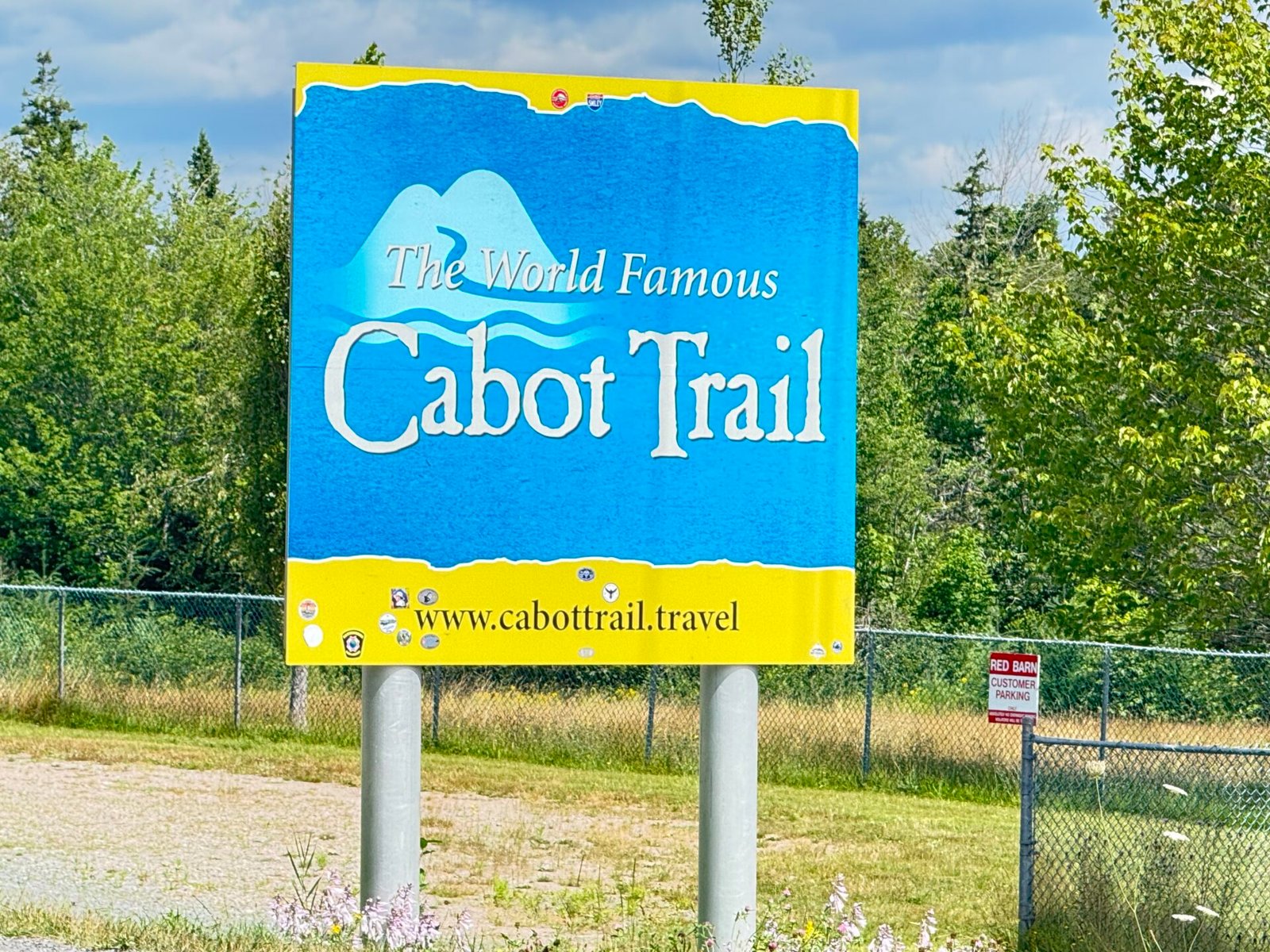
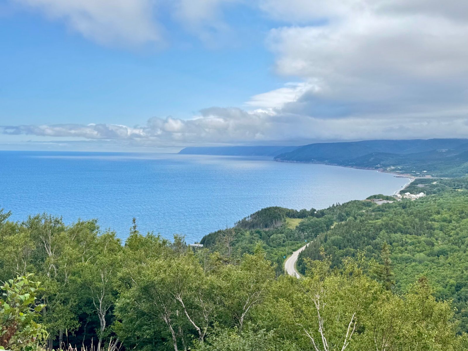
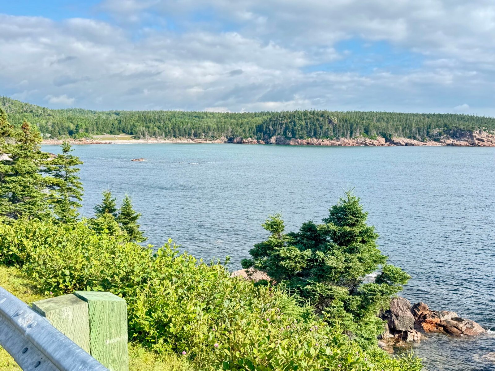
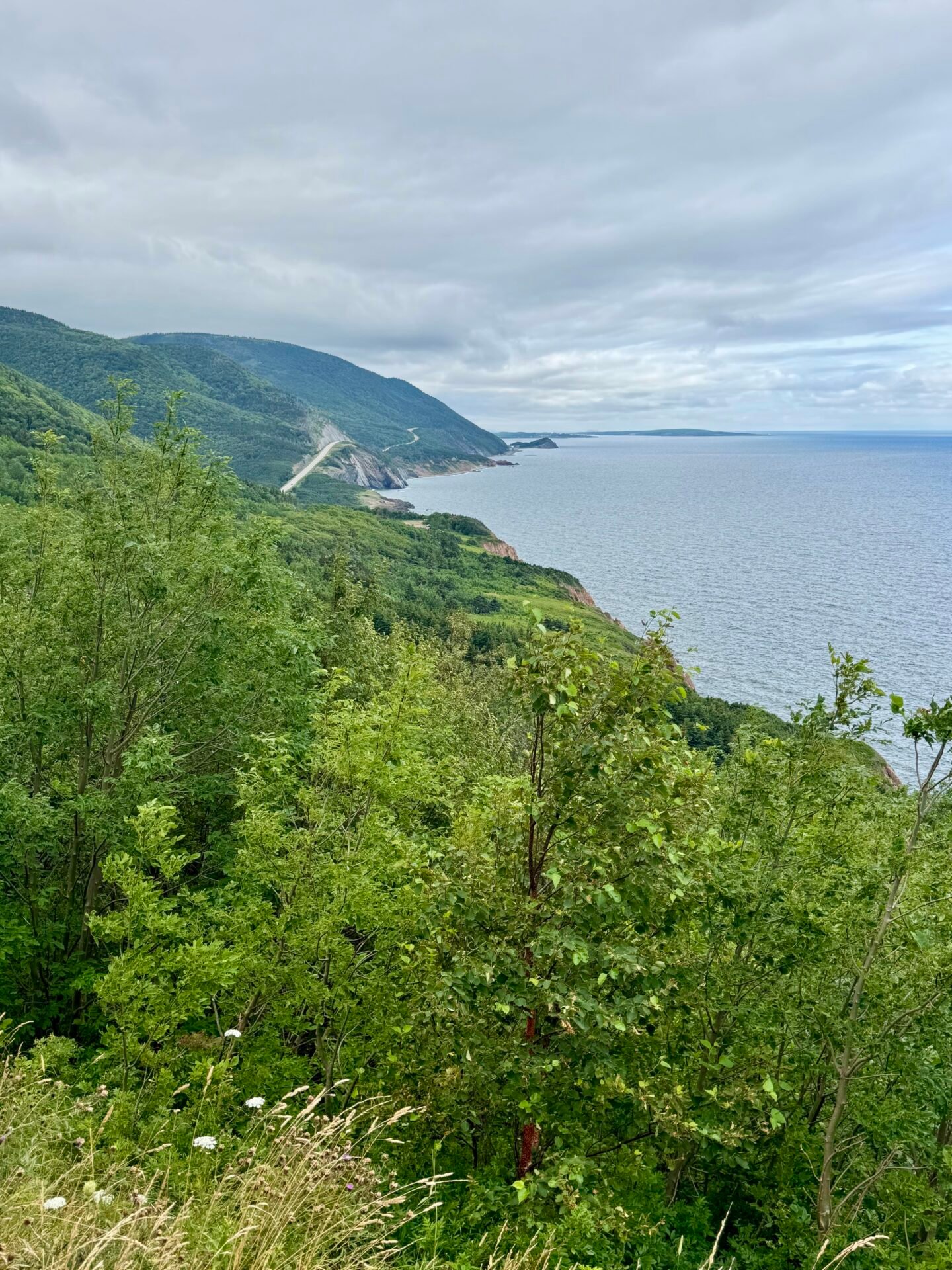
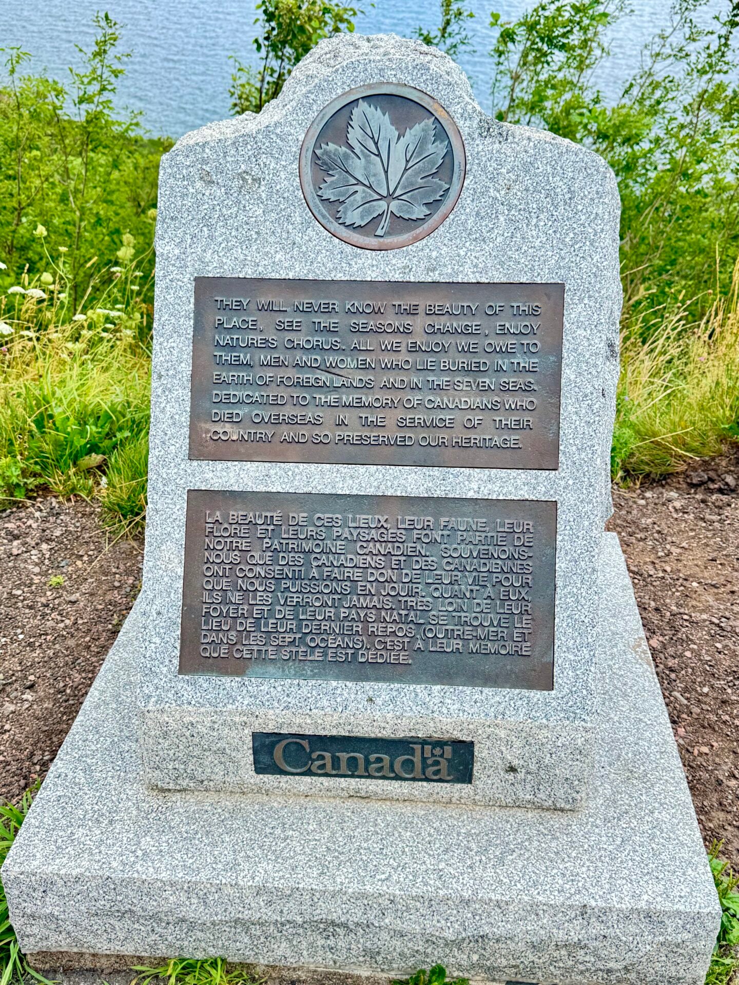
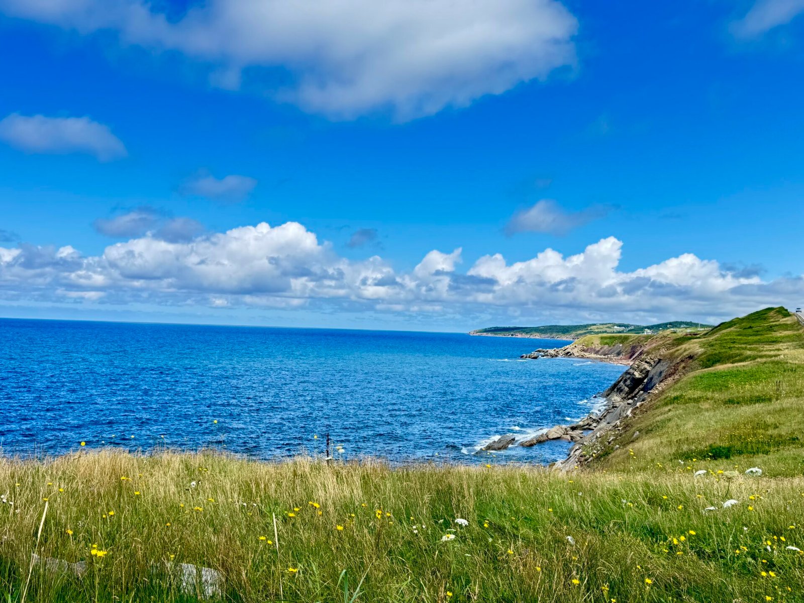
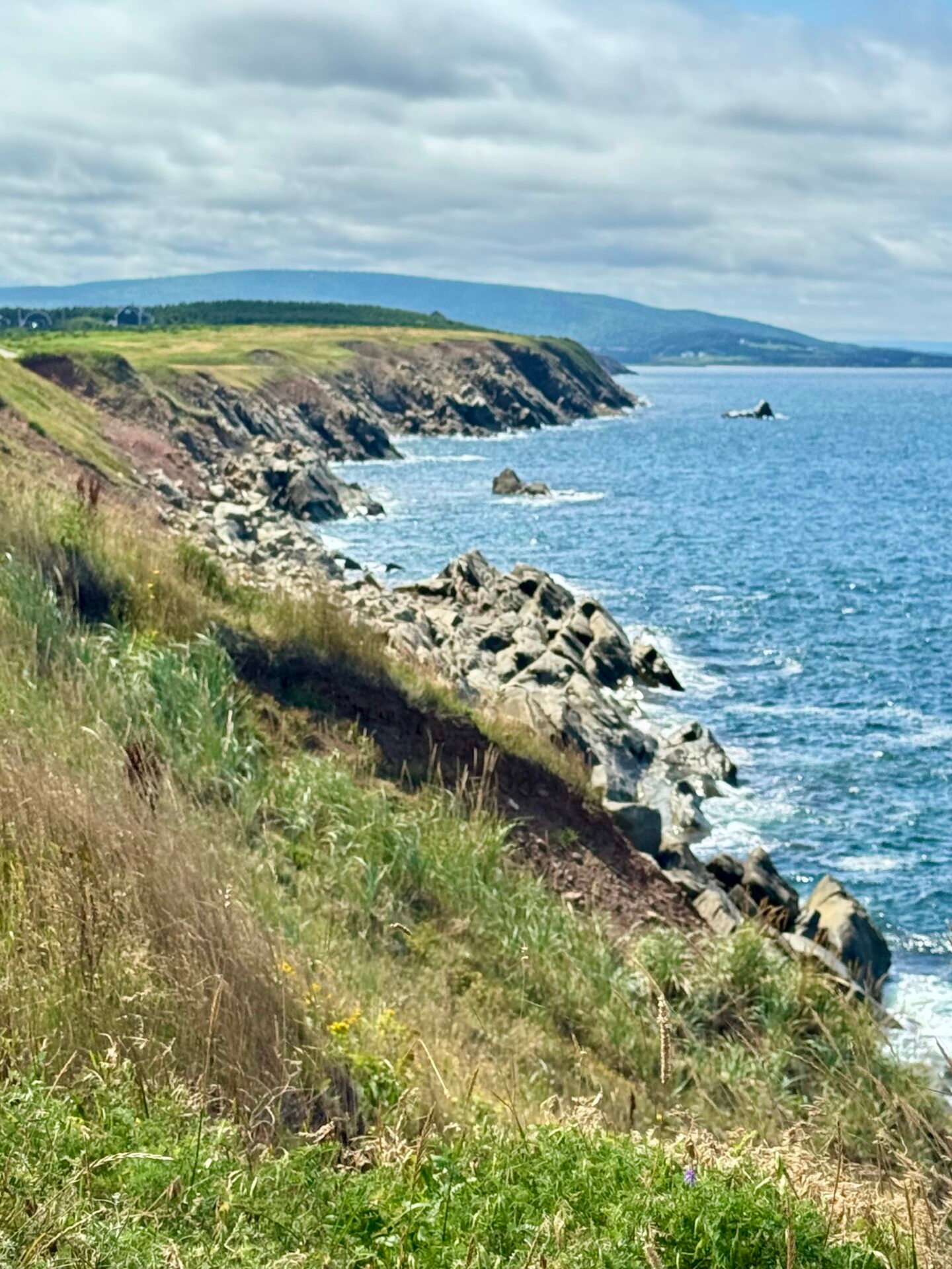
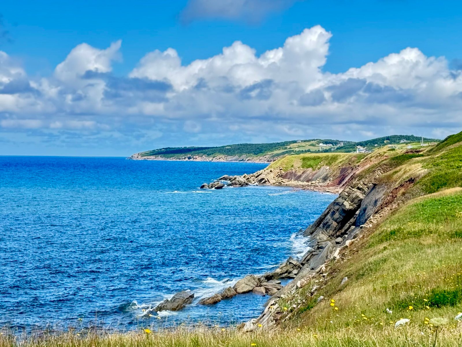
Days 15 and 16 were scheduled for the Cabot Trail (an extra day in case of bad weather). The road loops around Cape Breton Highlands National Park with coastal drop-offs that easily rival California’s Highway 1. I drove it counterclockwise (Baddeck to Ingonish, then around to Cheticamp) to keep my car in the outside lane for better ocean views and pullouts.
If you get white-knuckle driving anxiety near steep drops, be prepared: the Atlantic Ocean is sitting hundreds of feet right below your passenger window. I couldn’t hike the famous Skyline Trail out to the cliff because they instituted a parking reservation system. I found this out the night before, and it was sold out, and I was so disappointed because I didn’t get any heads-up notice during my research. It looks like this is new this year (2026), so I understand. I read that the views are unmatched, but the walk back is a continuous incline, and you’ll feel it in your calves the next day. Luckily for me, all I got was a stiff back from driving.
You can break the Cabot Trail into days, especially if you are a hiker, or you can drive it straight in about 5 hours. I took a full day to see it as the weather was good and I don’t take good weather for granted. It ended up being a good choice, as it rained the next day, so I lounged in my room.
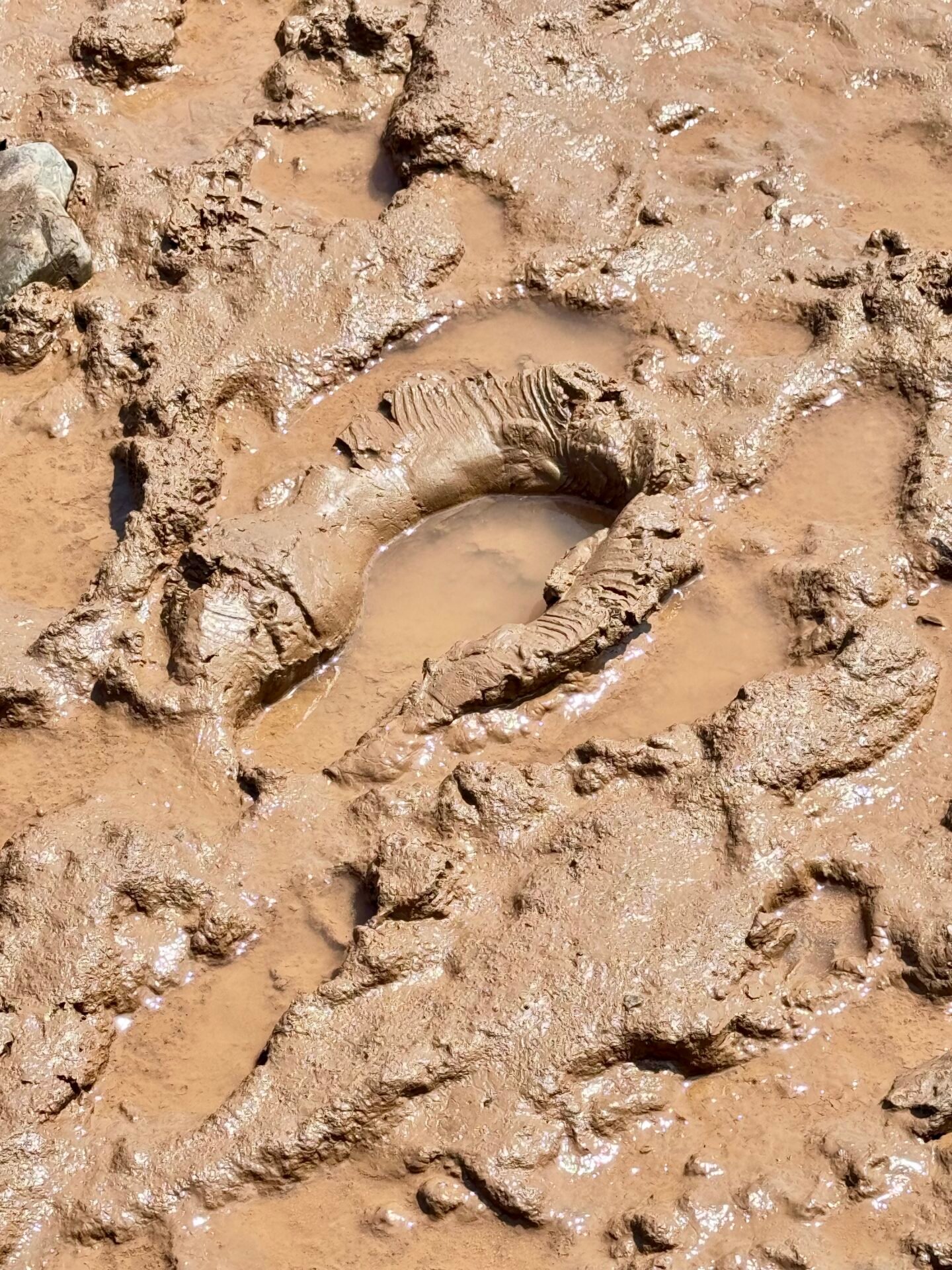
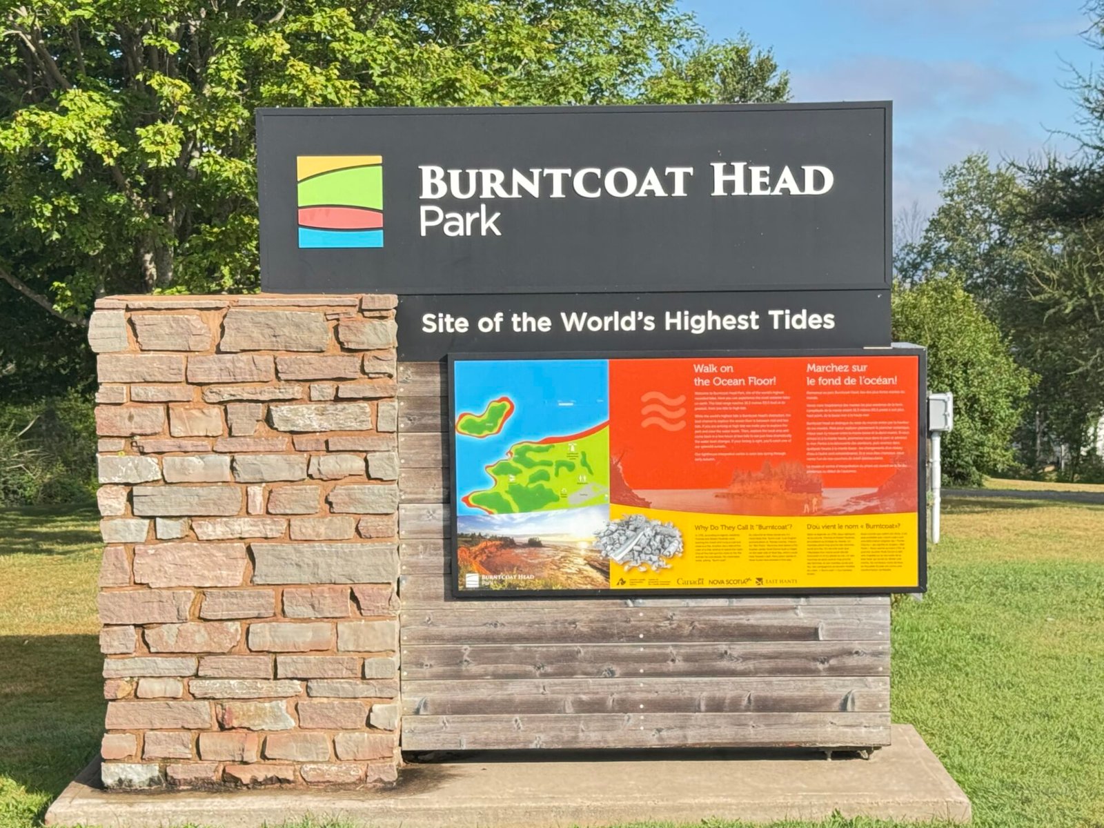
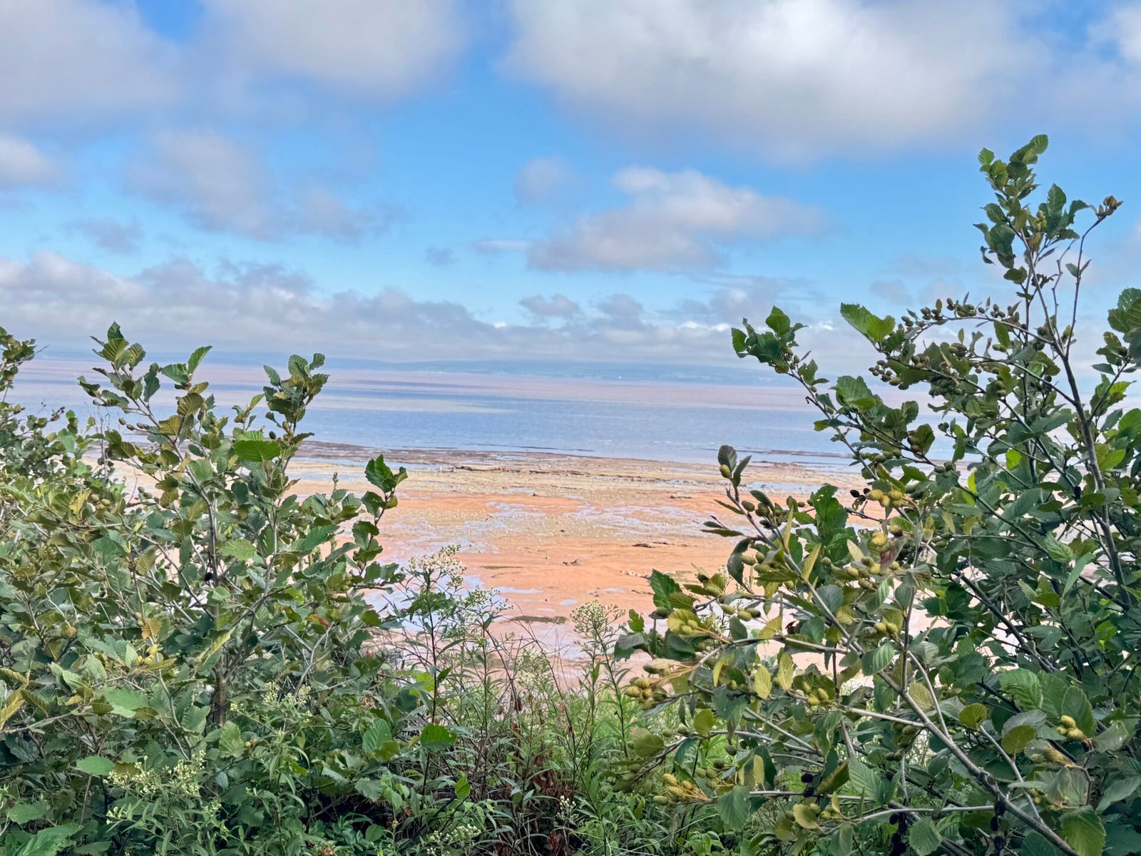
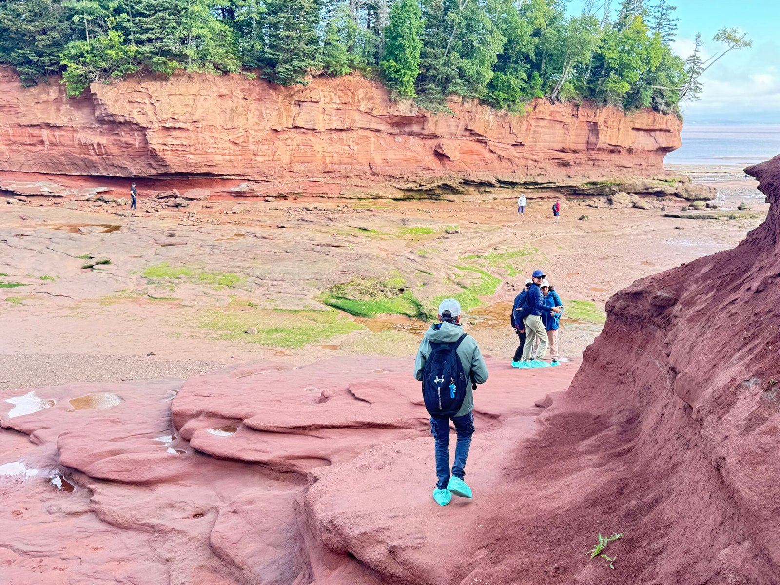
The next day, I drove to Windsor to stay the night. This let me be at Burntcoat Head Park at 8:00 AM for the next day’s low tide. This is the official spot of the highest recorded tides in history (up to 53 feet). Walking through exposed sea caves on mud that was submerged under 50 feet of salt water hours earlier is wild. This isn’t as dramatic with flowerpot rocks as Hopewell, but the tide goes out four times as far, which I found amazing. Glad I got to see both sides of the Bay of Fundy tidal changes.
Phase 4: Halifax, the Southern Coast and Open-Ocean Crossings (Days 18–22)
Halifax and Lunenburg
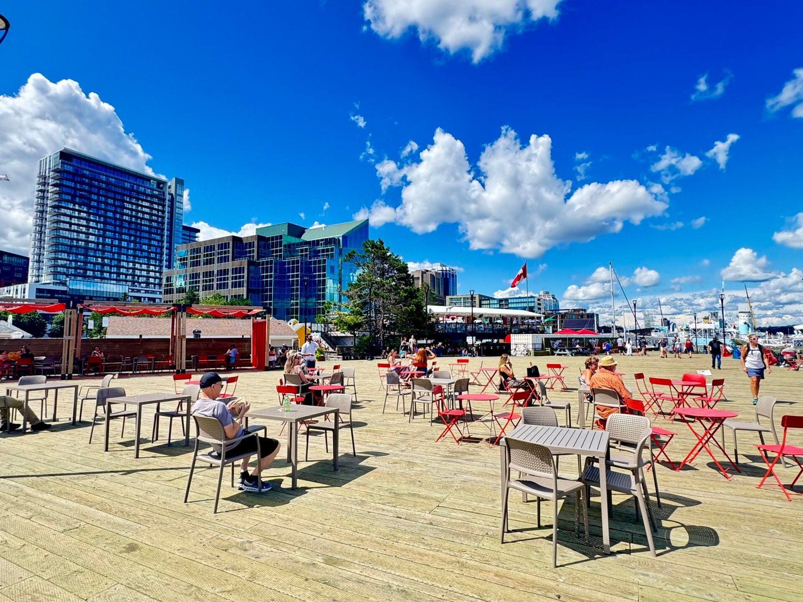
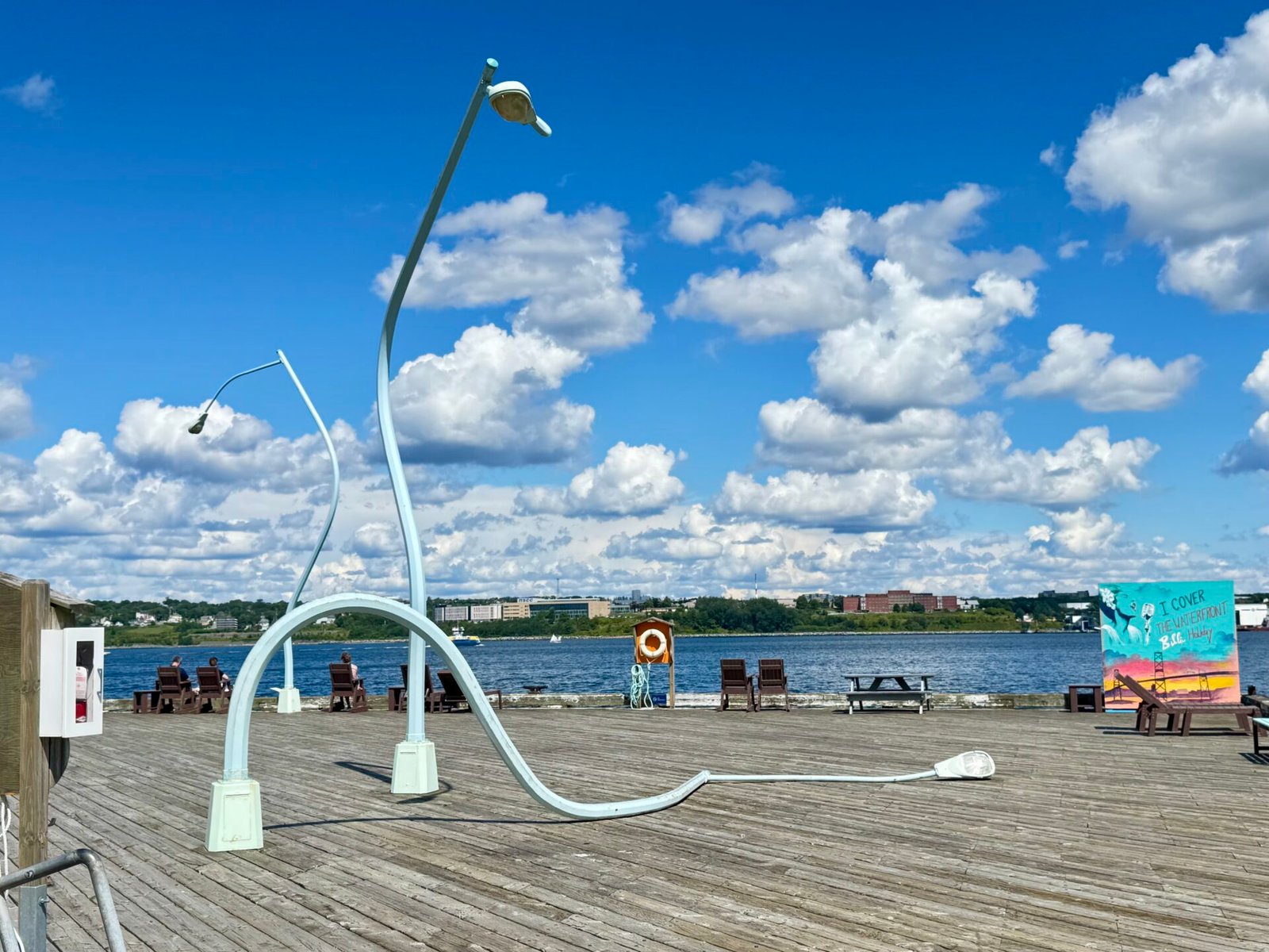
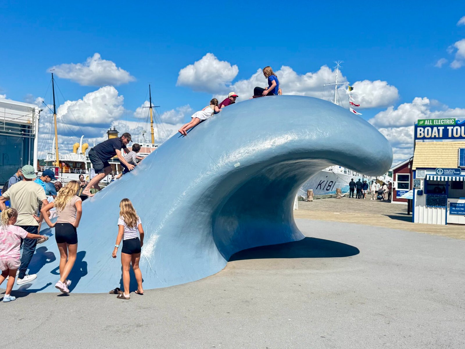
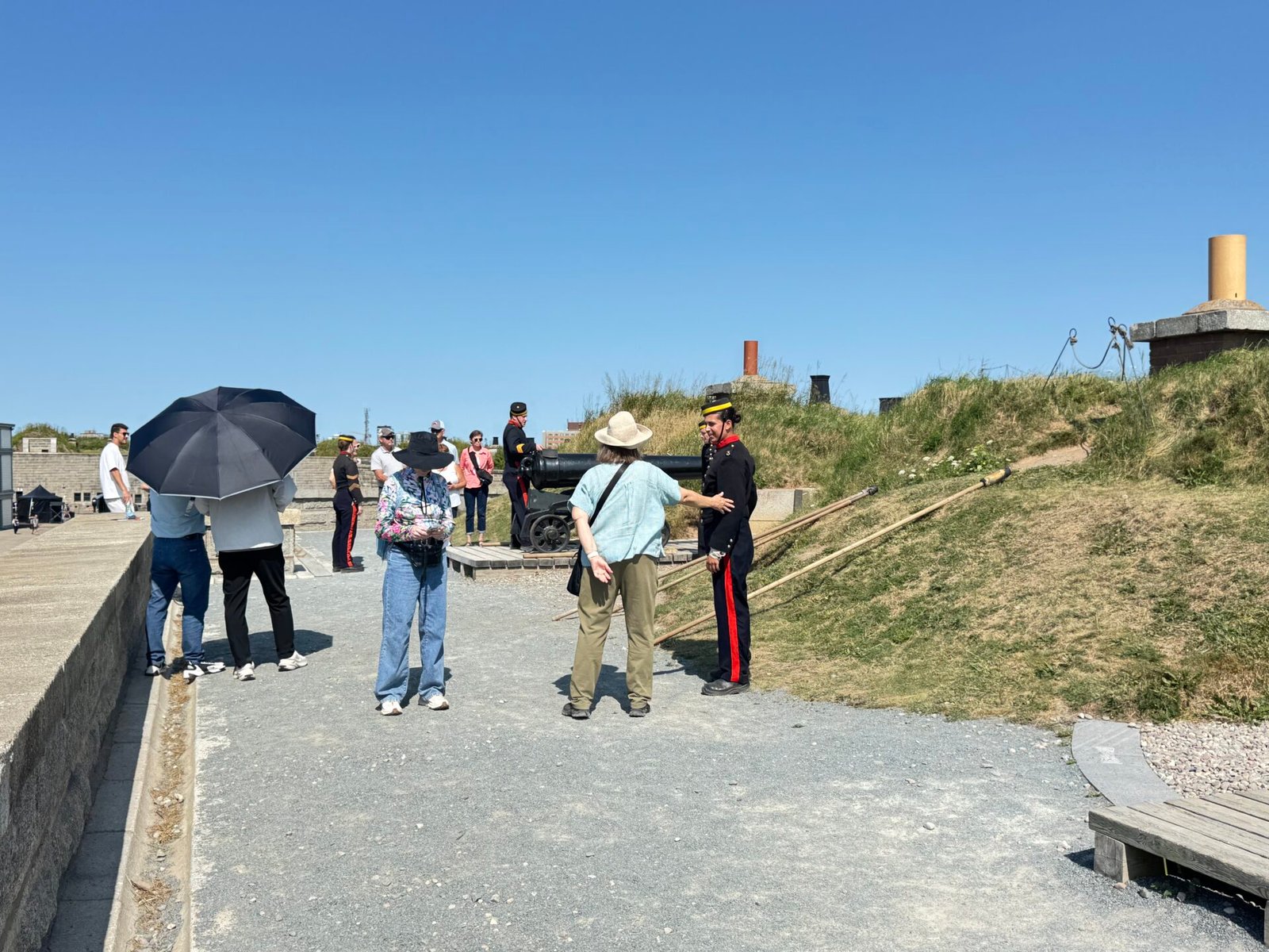
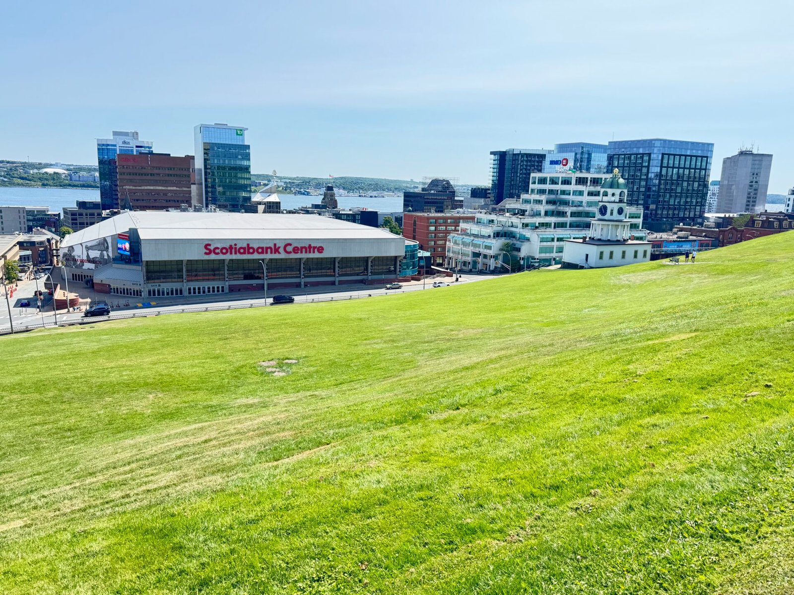
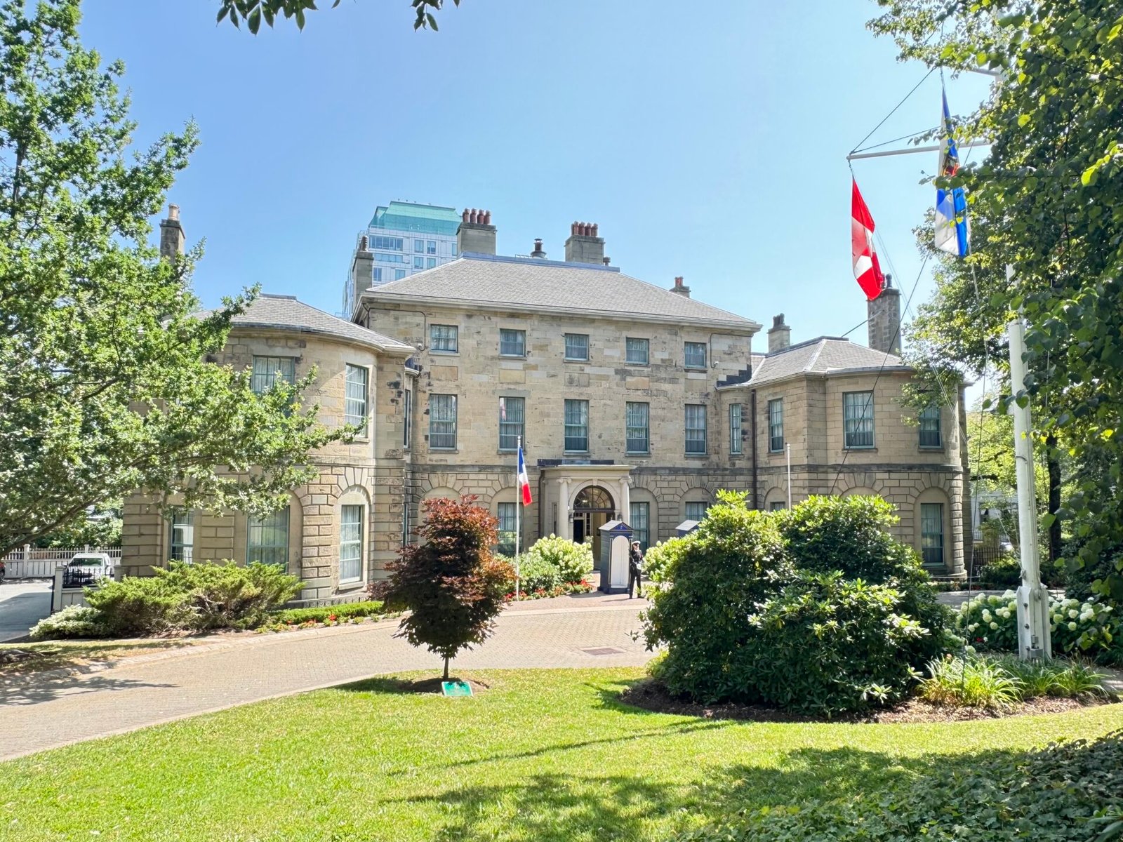
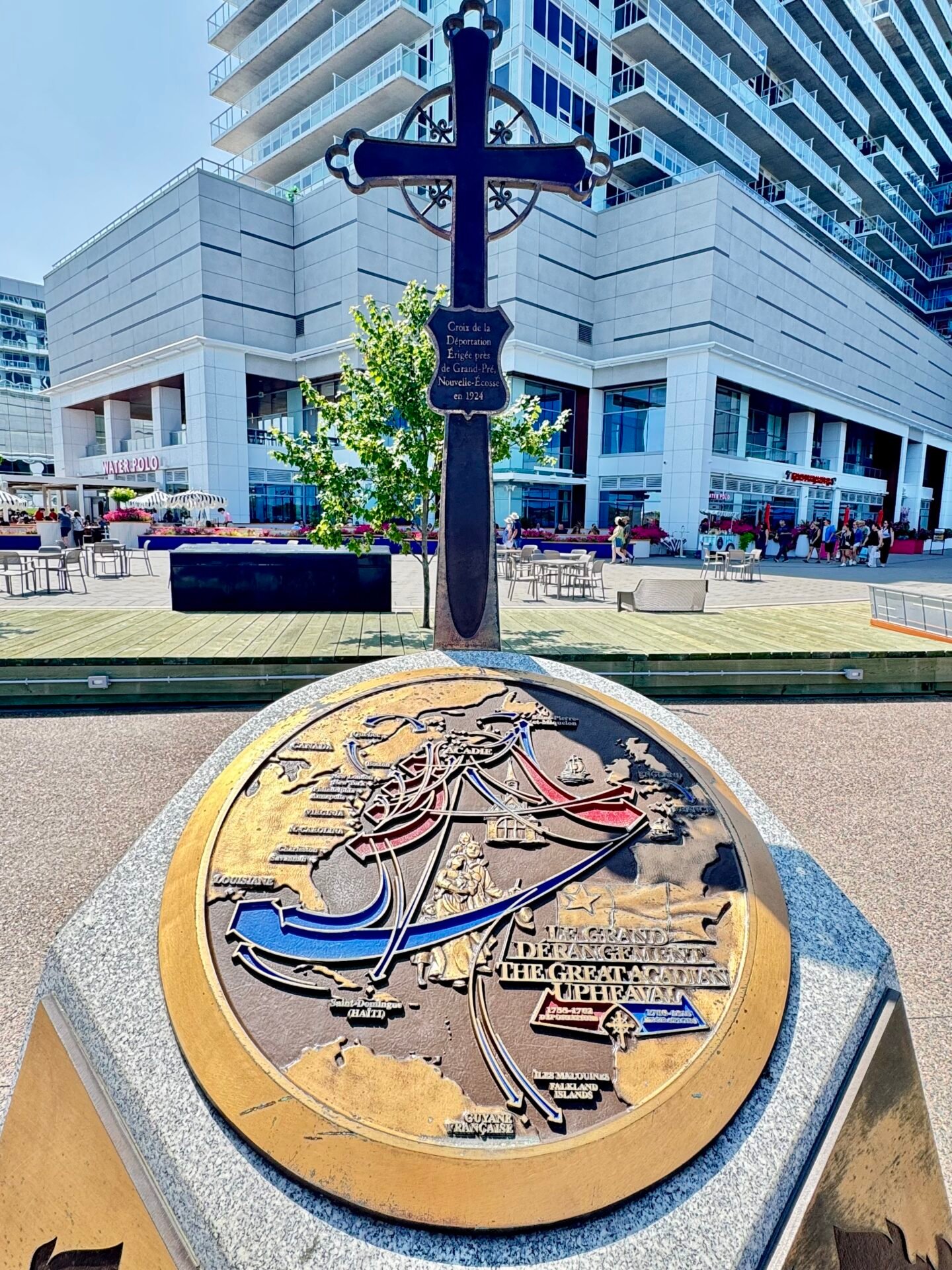
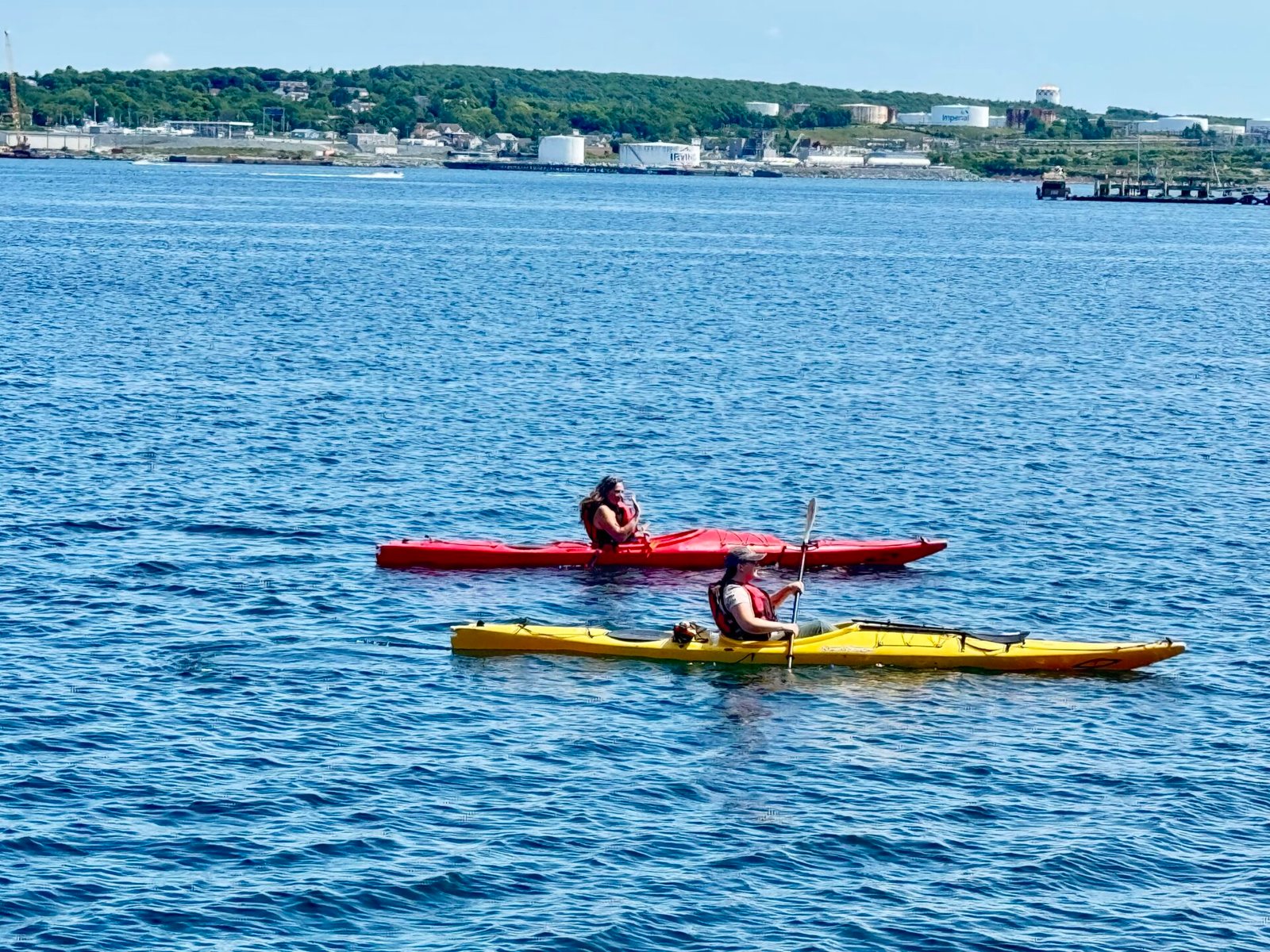
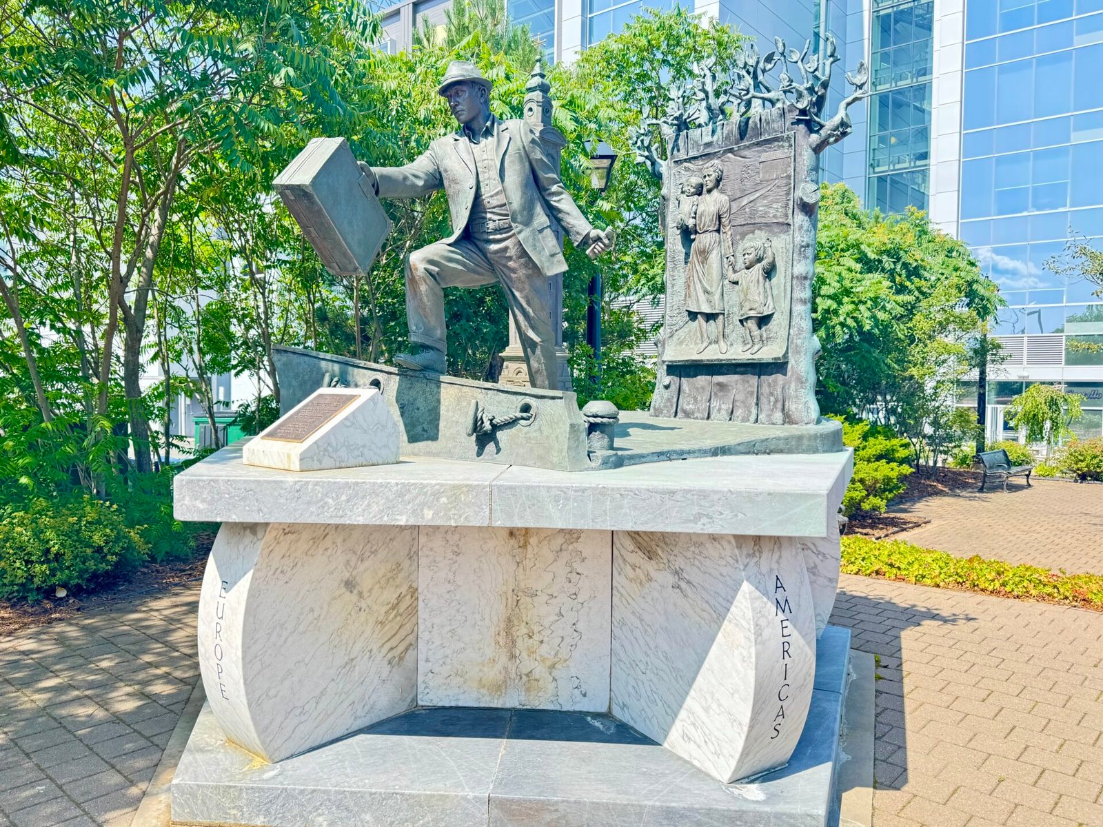
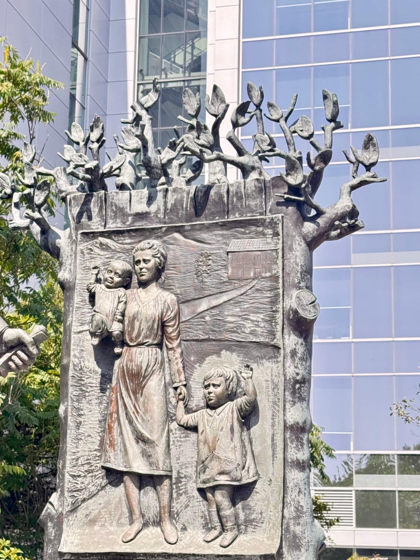
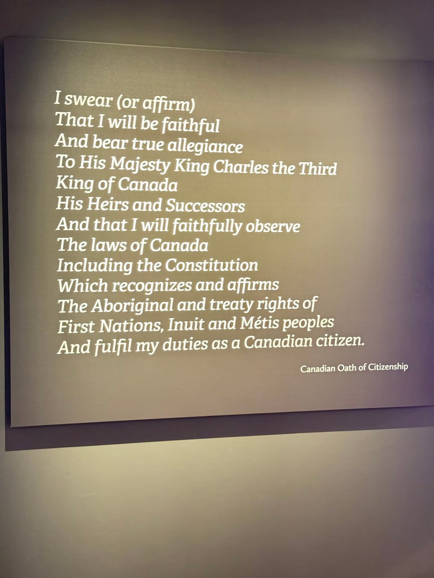
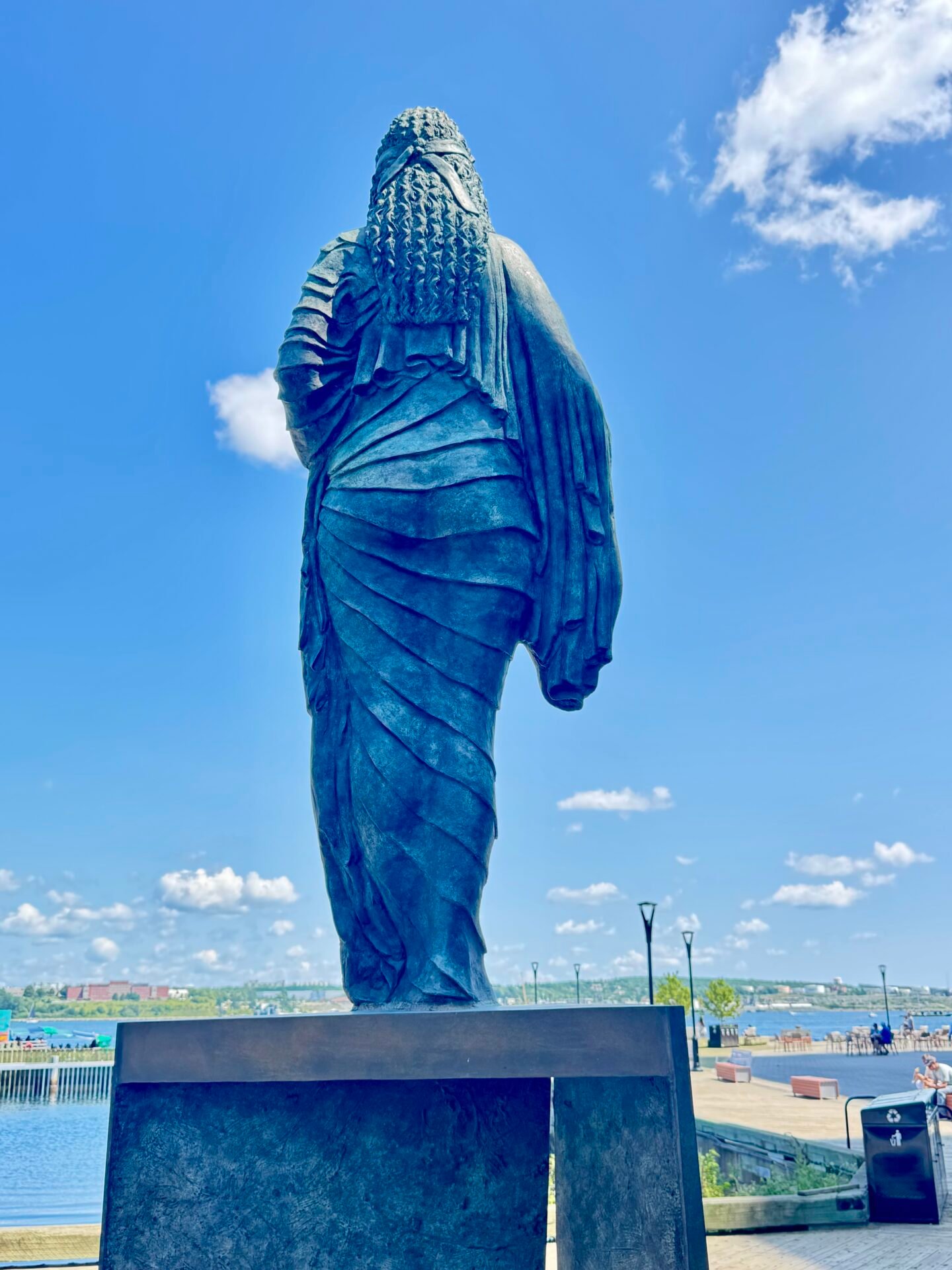
I spent two days in Halifax exploring the lively waterfront boardwalk, the Canadian Museum of Immigration, and the Halifax Citadel. Halifax is sneaky-steep, and walking from the harbor up to the Citadel will test your leg strength, or lack thereof. Overall, Halifax is a vibrant city with lots of construction and a thriving downtown. It definitely feels like they want to make the most out of their short summer.
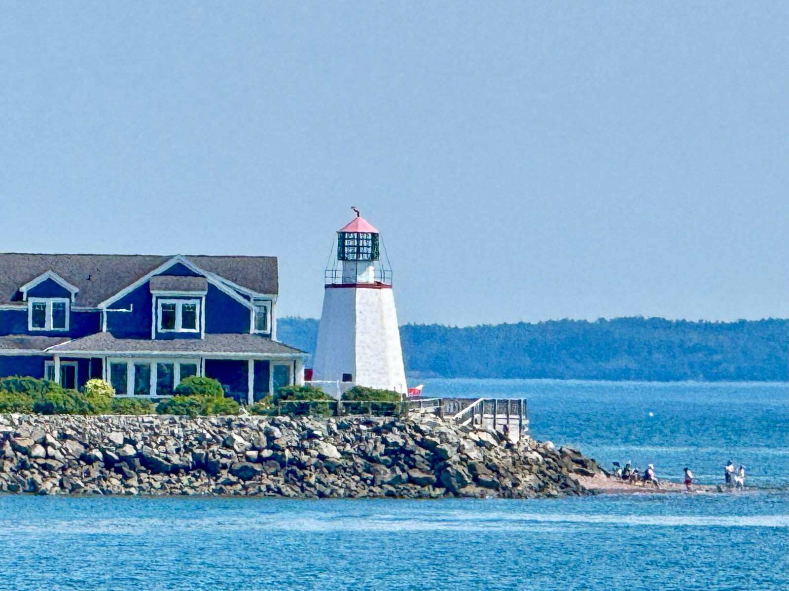
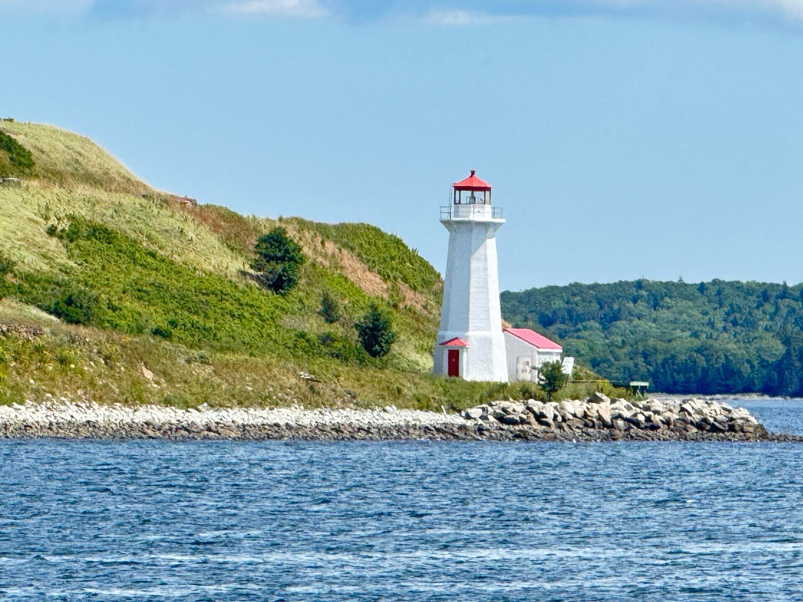
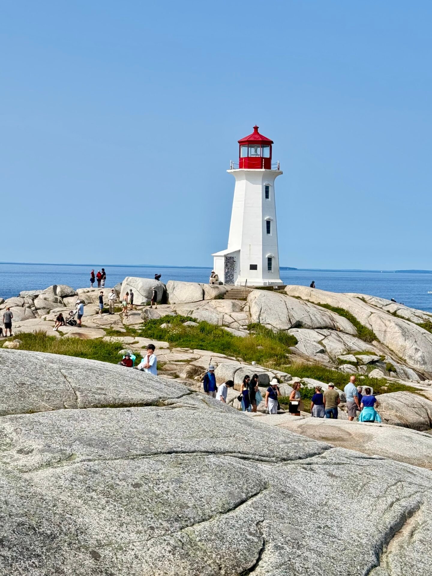
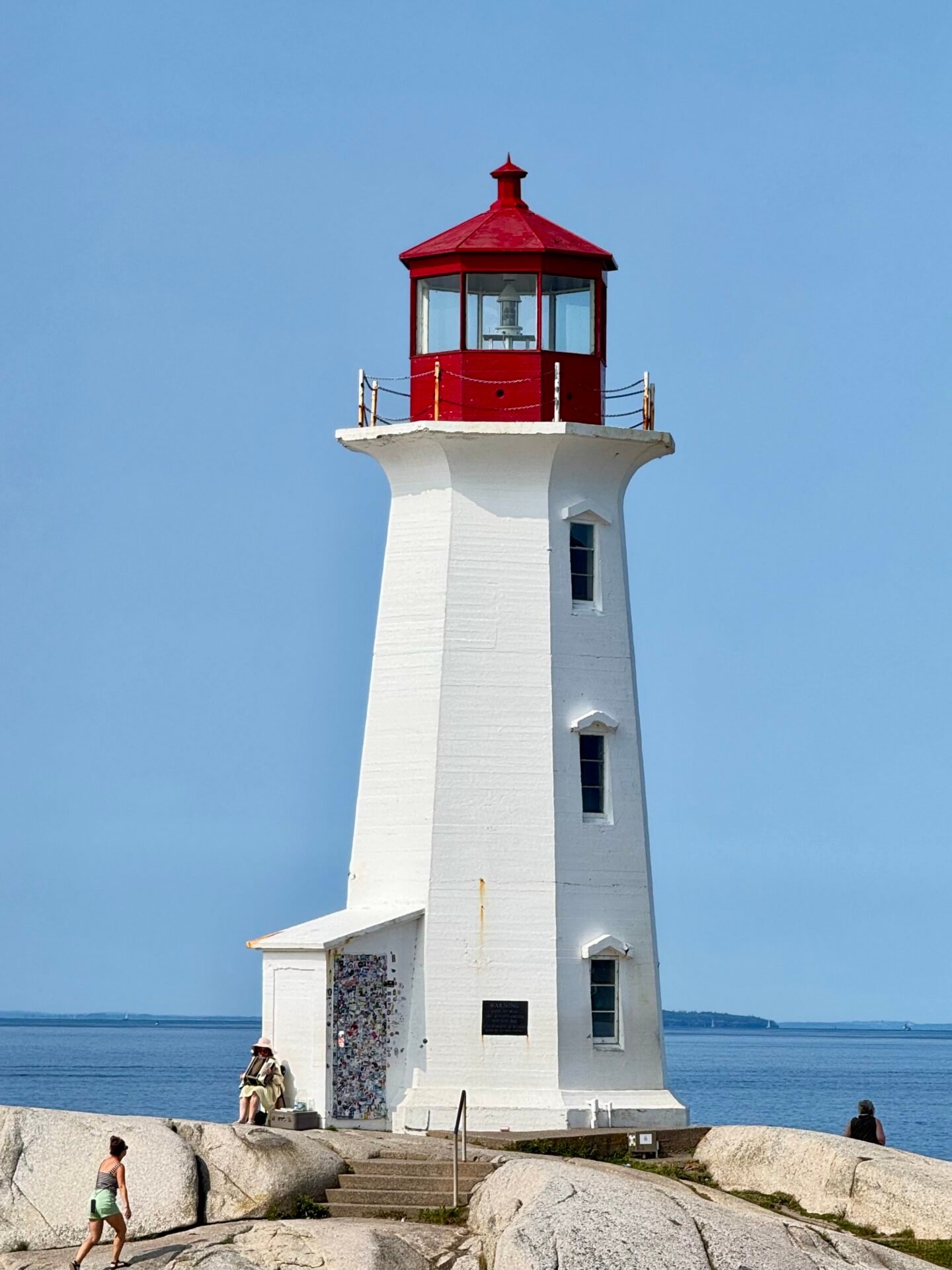
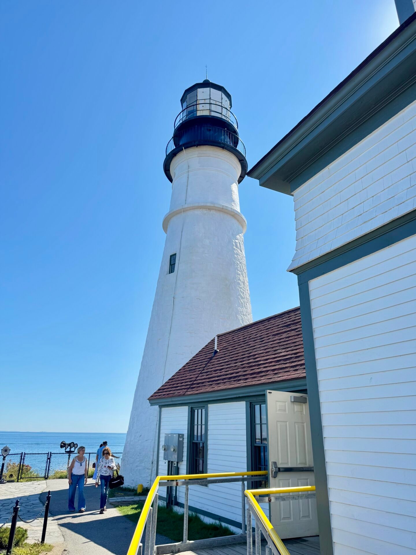
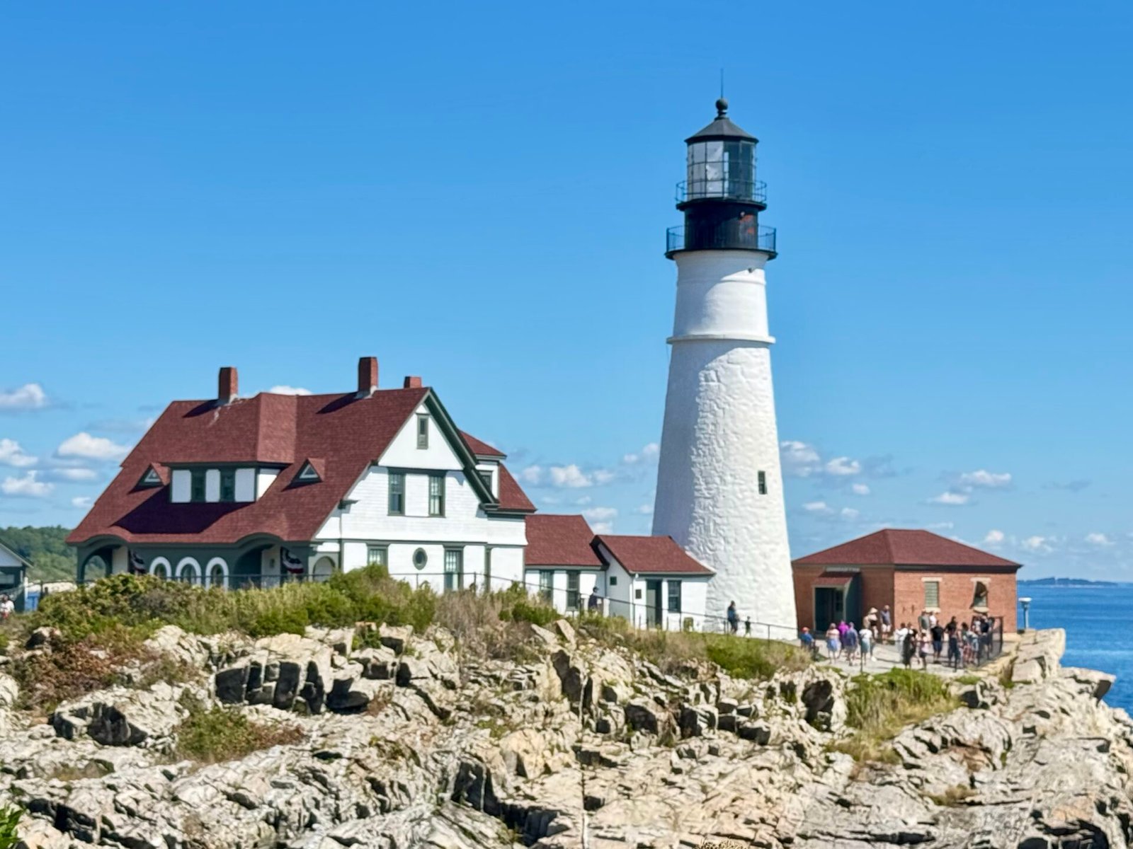
Heading down Nova Scotia’s South Shore, I drove out of my way to see the lighthouse at Peggy’s Cove, and I am so glad I did. Of the ten or so lighthouses on my trip, this was my favorite and most dramatic. They say it is the most photographed lighthouse in Canada, and you can see why from the photos I took below.
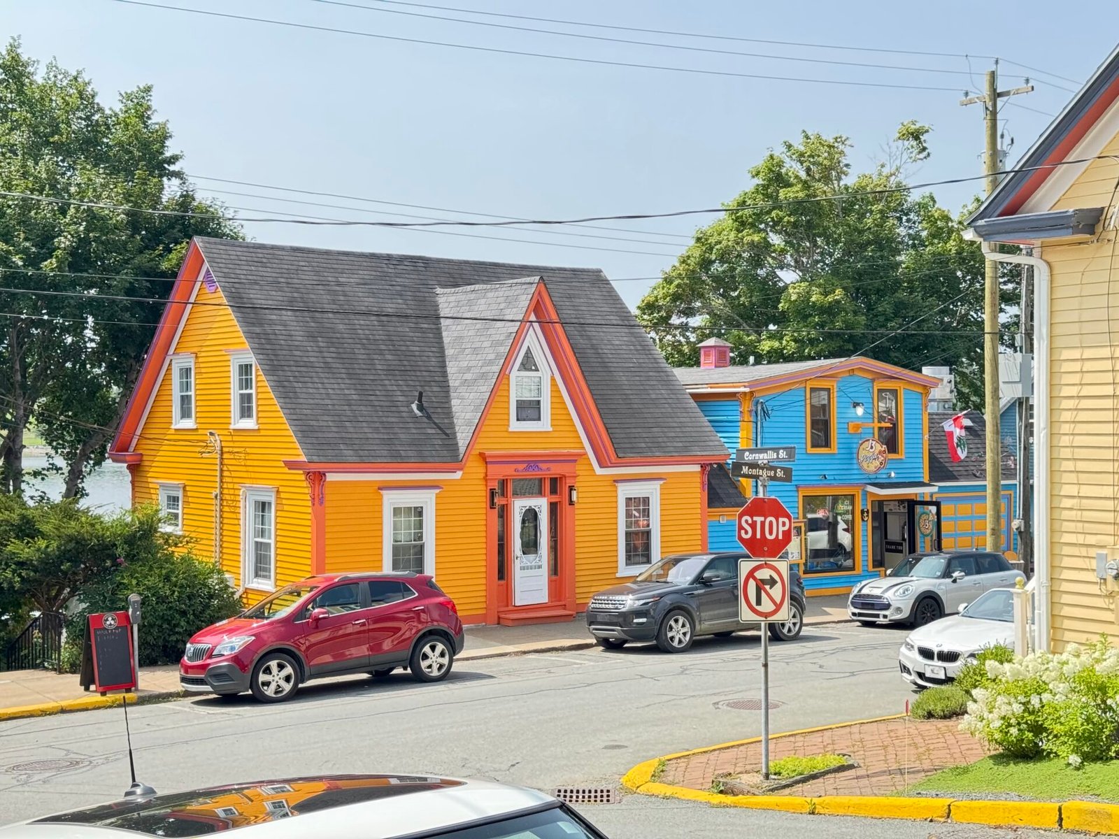
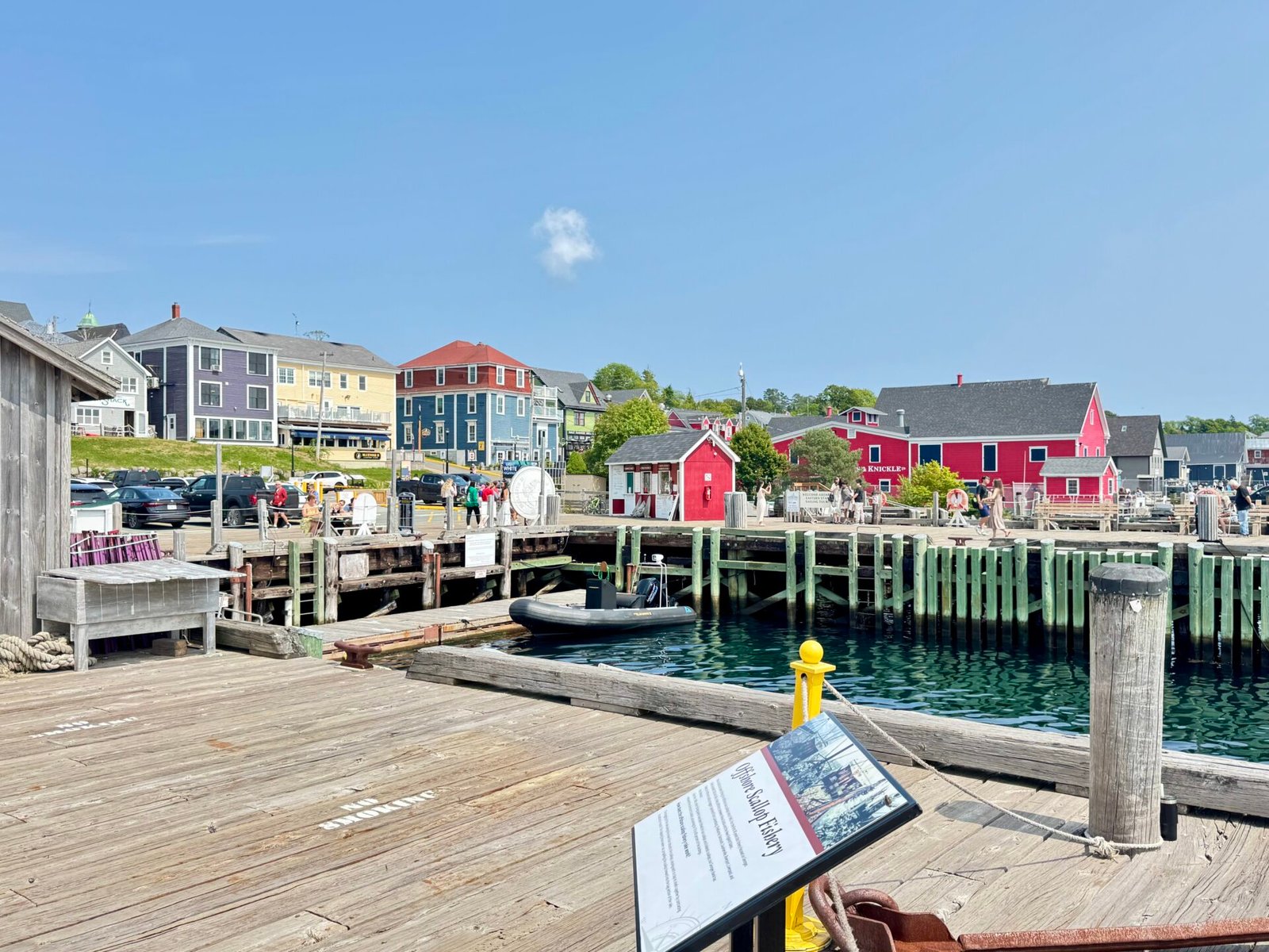
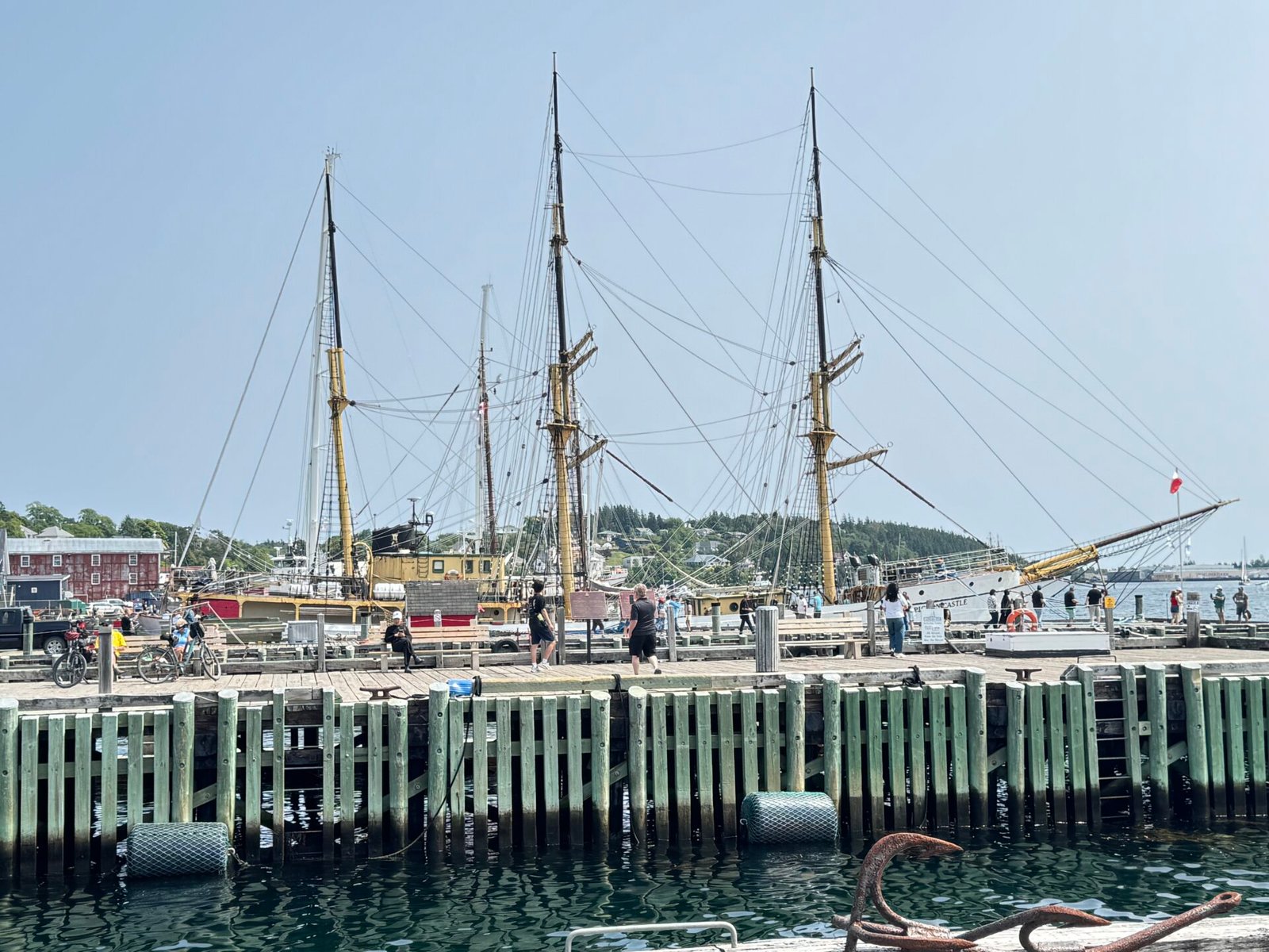
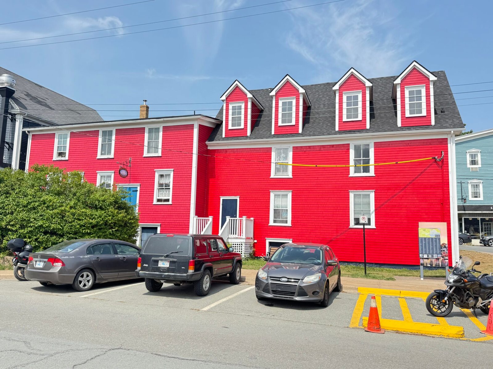
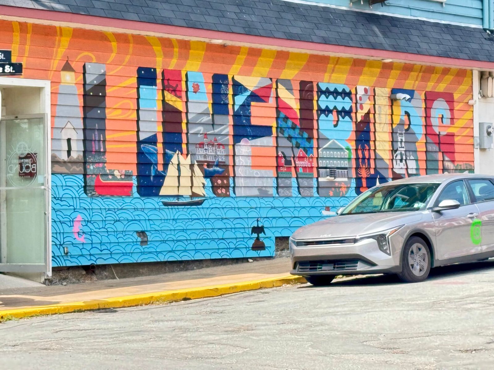
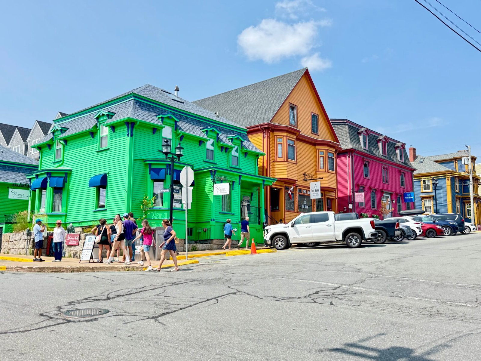
I then drove an hour and a half to explore Lunenburg on my way to Bridgewater. It’s a UNESCO site packed with bright 18th-century Victorian buildings on a steep hill that slopes down to the port, home to the Bluenose II schooner. The whole area is gorgeous, but parking near the harbor during peak season can be tricky, so take the first legal spot you find on your way into the city. I walked down the hill and wandered the historic port on foot, had lunch and ice cream, and took lots of photos of the historic homes on the hills. Much worth a stop.
An overnight in Bridgewater was necessary because I had conference calls on Monday and needed somewhere to take them. This is where local libraries are your savior. Most don’t charge for conference room or desk use, and the only issue is finding a place where you can speak. The other thing I love about smaller town libraries is that the staff is there to help you. This is such a nice change from the bigger city libraries that usually charge, or co-working offices that definitely charge to rent a conference room.
This is also where, in my trip, the two days I would have spent in Newfoundland caught up with me. So, I took my time in southeastern Nova Scotia and saw that there was a place called Shag Harbour that I had to see. And yes, I have a juvenile sense of humor, but I thought that would make a great photo. There was also a place nearby that boasted as being a UFO landing site; how could I not stop? Did I get the photo? No. Did I get to see the UFO landing site? Kind of.
You see, this area had absolutely no phone service, and my navigation went out the window. Even though I downloaded offline maps, it was still a shot in the dark whether I was in the right area. I ended up driving right through Shag Harbour without knowing, and I saw the sign for the UFO landing site, but it was on a stretch of road I couldn’t pull over. I knew if I hugged the coastline I could get to my lodge for the night, and since it was raining, I just pressed on to the Argyler Lodge. This lovely old home on the sea had been turned into a bed-and-breakfast and full-service restaurant. The rooms were plain and older (makes sense), but the food was great, and the service was almost familial. Normally, I would have just pressed onto Yarmouth, but I had the time, so I enjoyed the Lodge and the rain.
The CAT Ferry to Maine
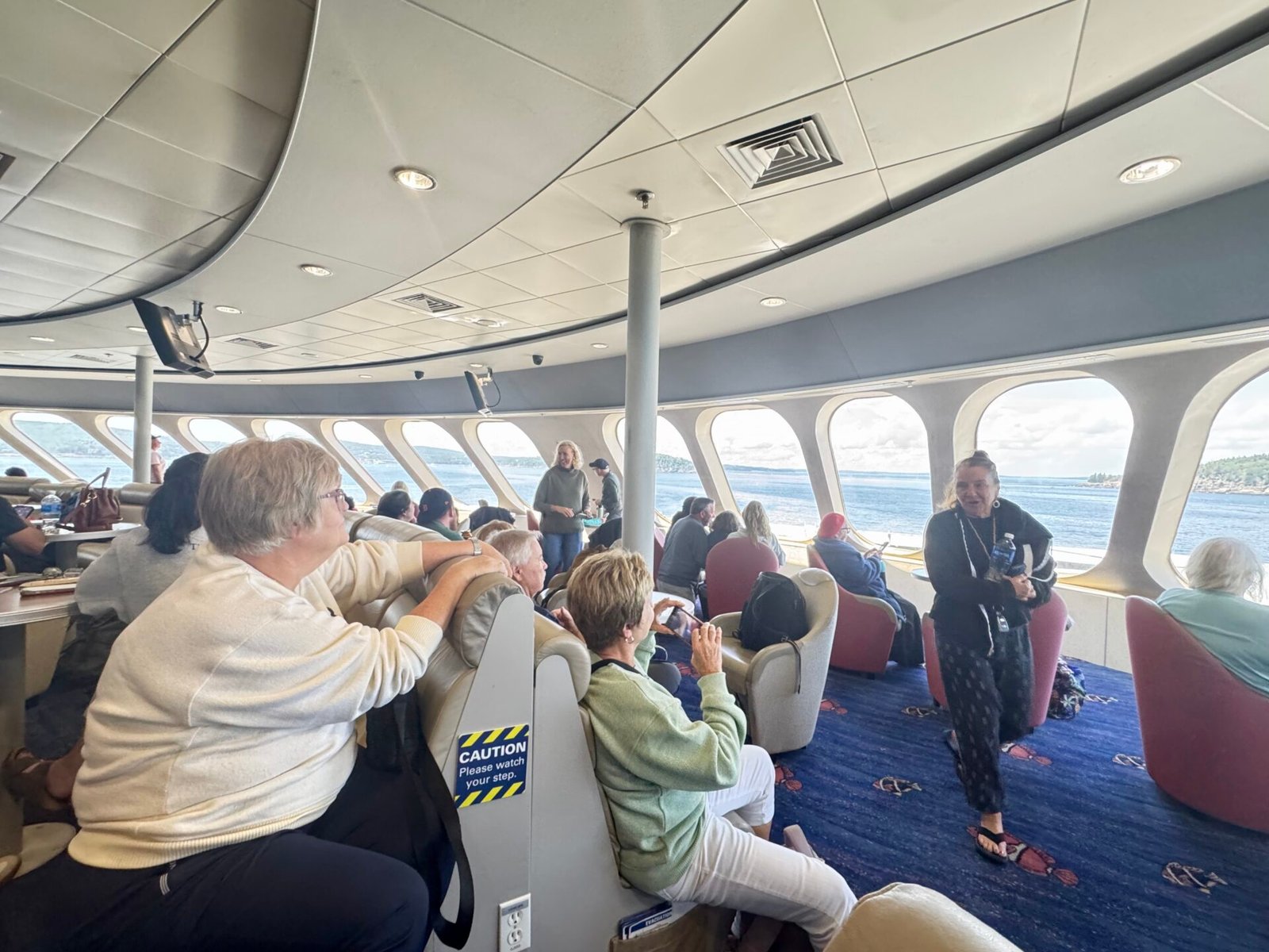
I got to Yarmouth on Day 21, knowing that Day 22 was going to be a massive logistical milestone: taking the CAT high-speed ferry from Nova Scotia, directly across the Gulf of Maine to Bar Harbor. It takes 3.5 hours instead of a 12-hour drive around the top of the Bay of Fundy and then south into Maine. Since I got there the night before, I could make the 9 am departure without an issue. I happened to walk by the ferry station, sightseeing Yarmouth, and stopped to check my ticket and was surprised to learn they start lining up at 7 am, a full hour before I planned. Luckily, I adjusted and was the second car in line.
I’ve been motion sick twice in my life, and I hate that feeling, so I didn’t chance it. I wore motion-sickness wristbands, slammed a Dramamine an hour before loading, and snagged a seat dead-center in the vessel. I even spent an hour or so looking in local pharmacies for those behind-the-ear patches for seasickness. Well guess what? Canada doesn’t sell them and according to the pharmacist, haven’t for years. So if they work for you, be sure to bring your own.
But the sea was as calm as could be, though it still rolled some. I enjoyed the trip and found a sheltered spot on deck. This ferry sells out during high season, so it was an anchor date on my schedule. Looking back, I could have gone a day earlier, but that would have rushed me driving.
Phase 5: The Maine Coast and Back to Boston (Days 23–30)
Acadia National Park and Bar Harbor
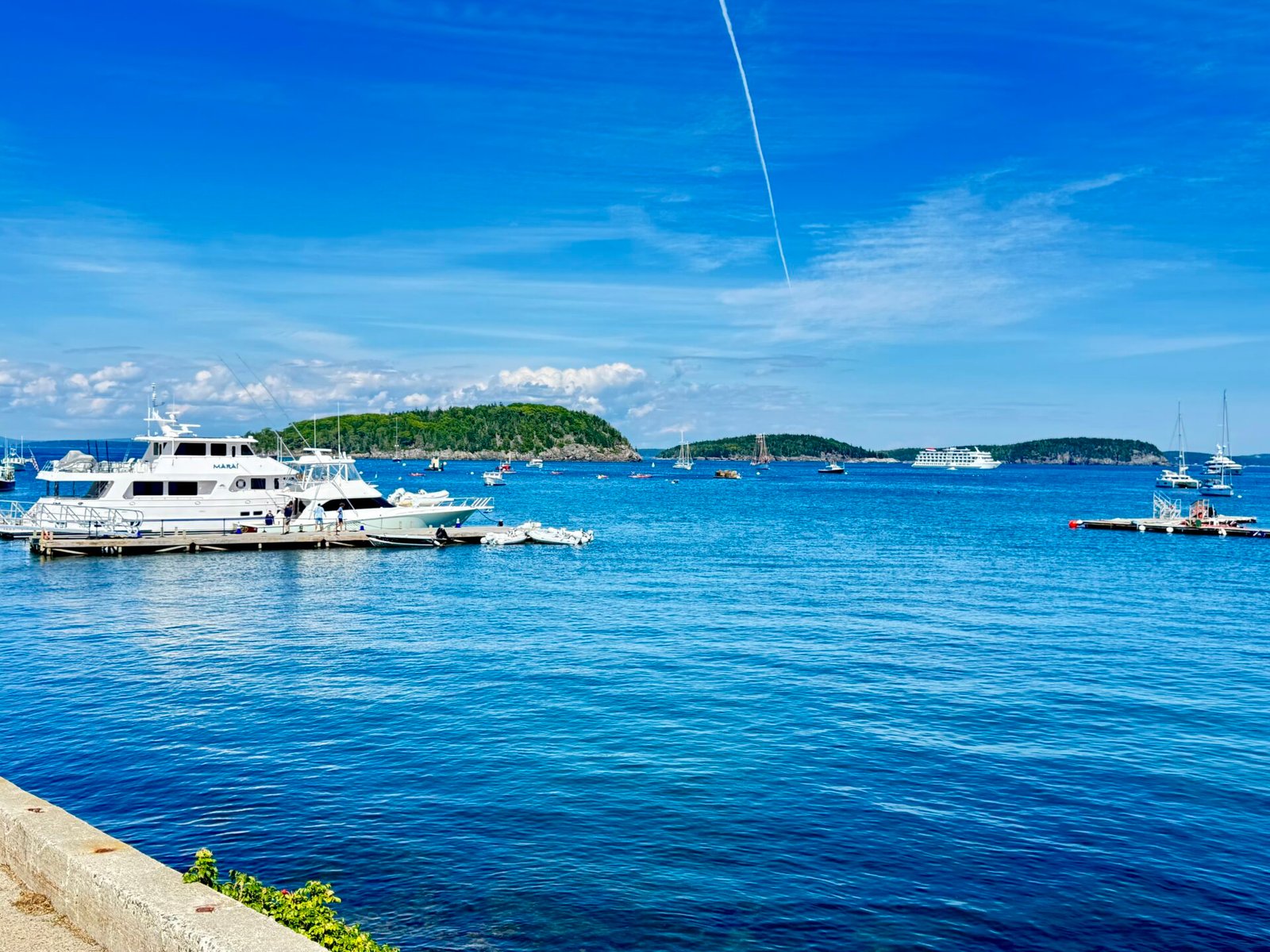
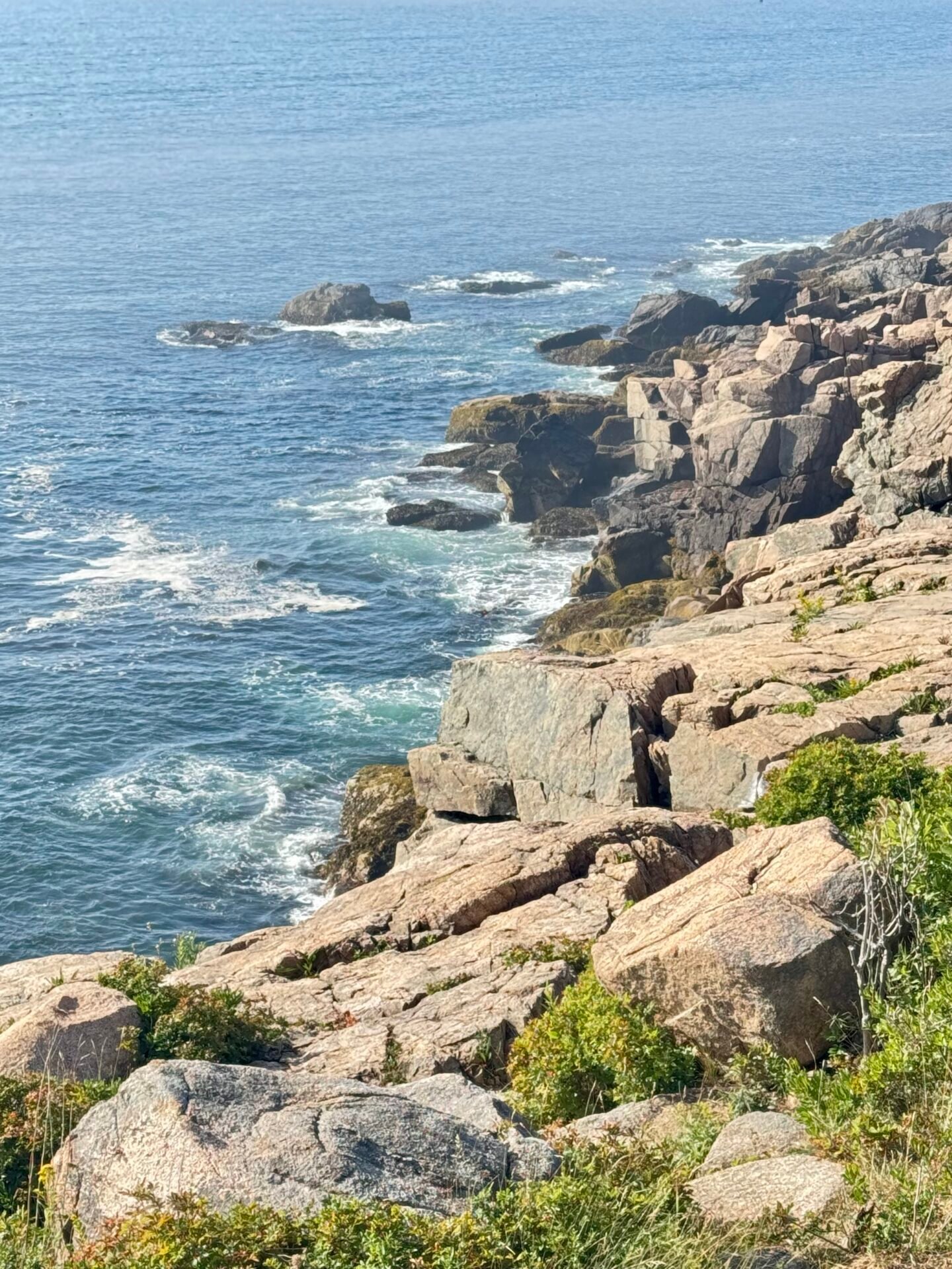
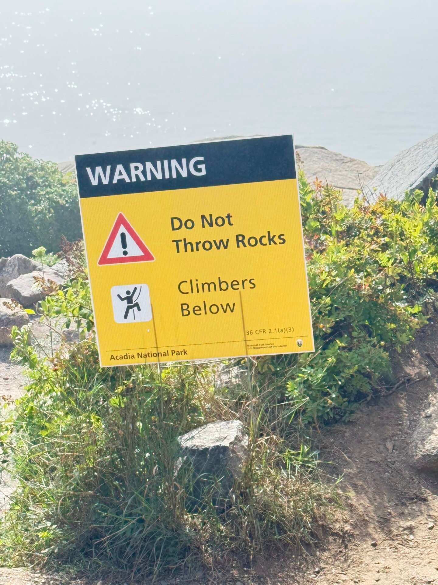
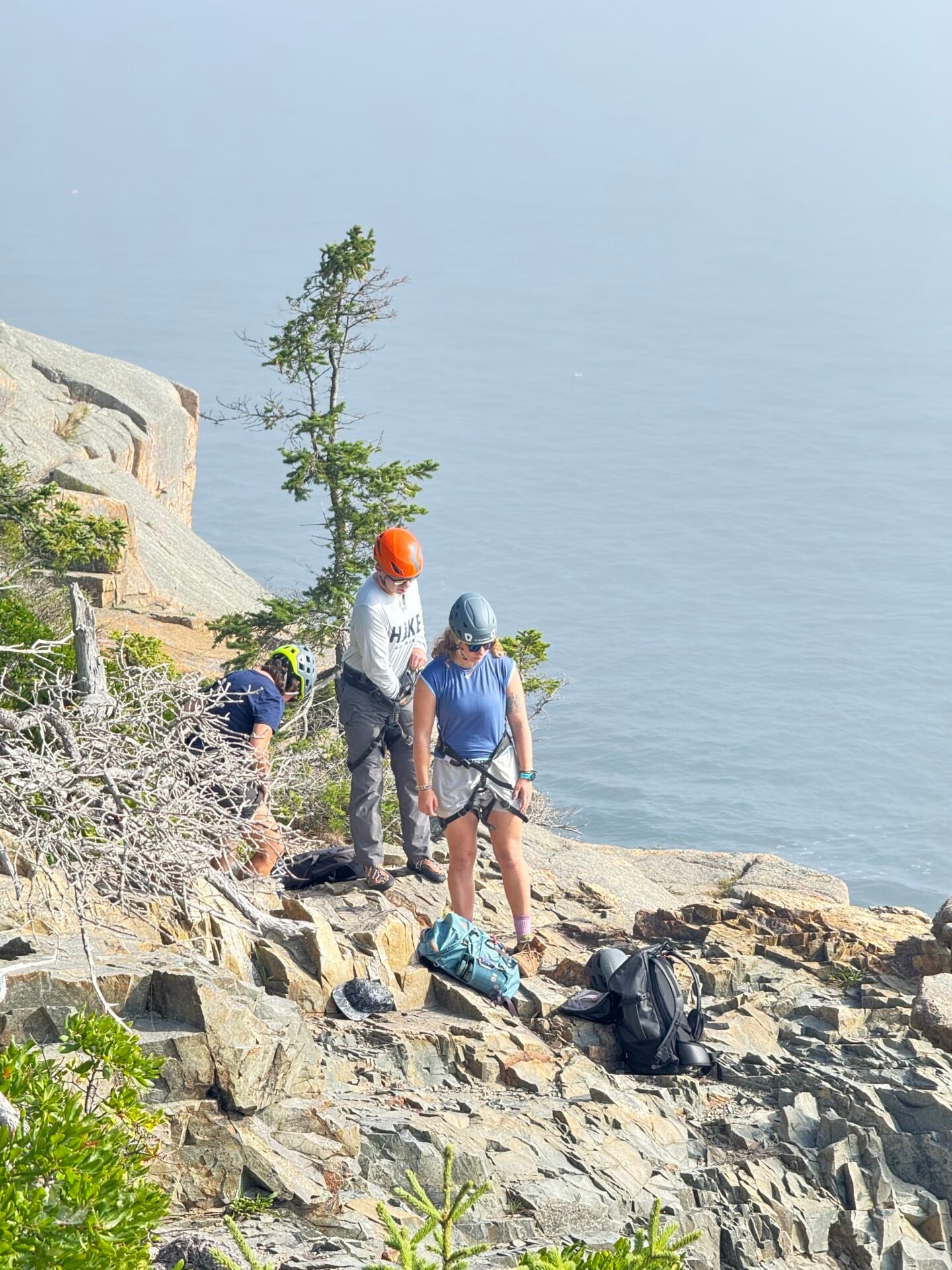
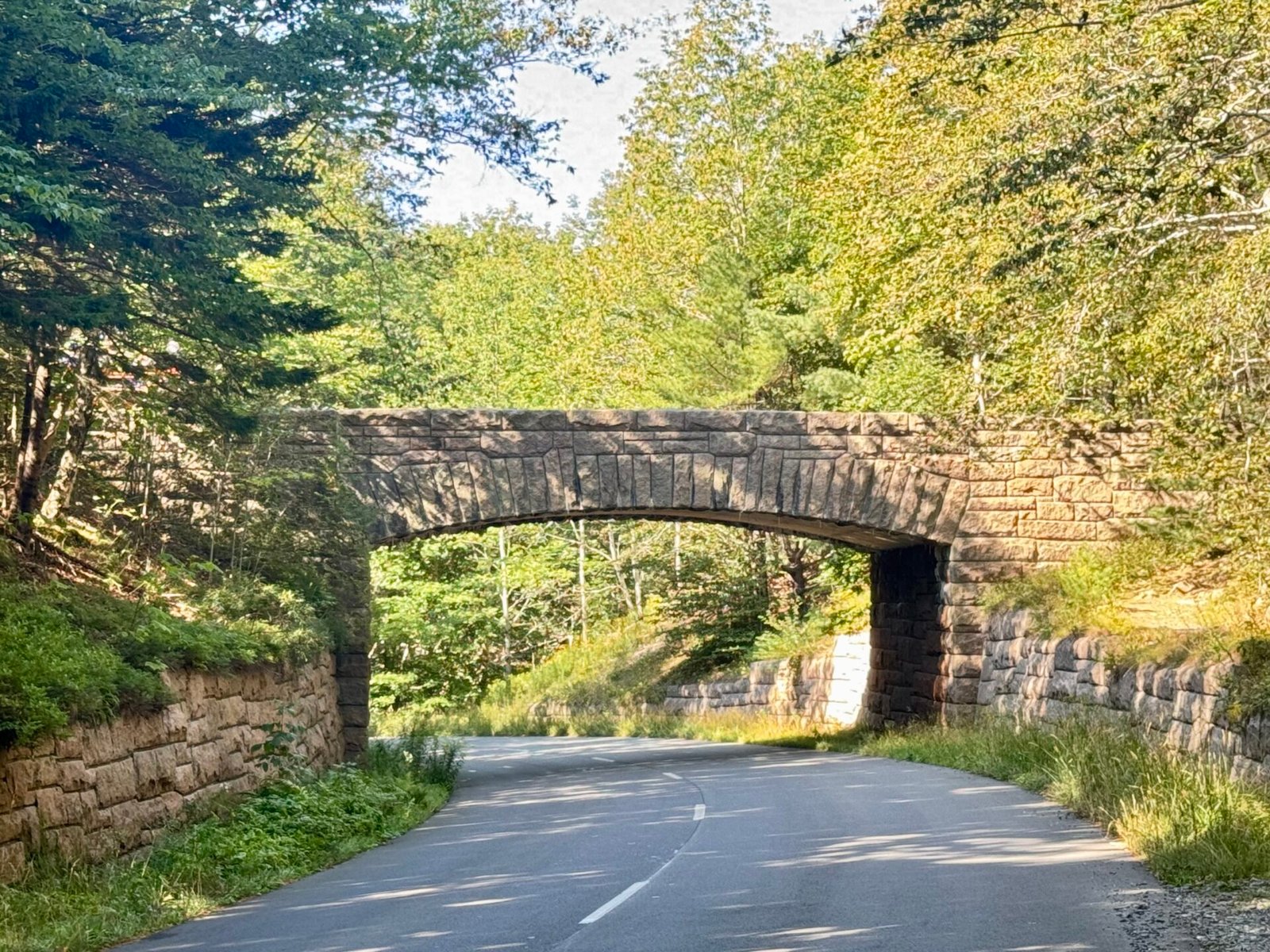
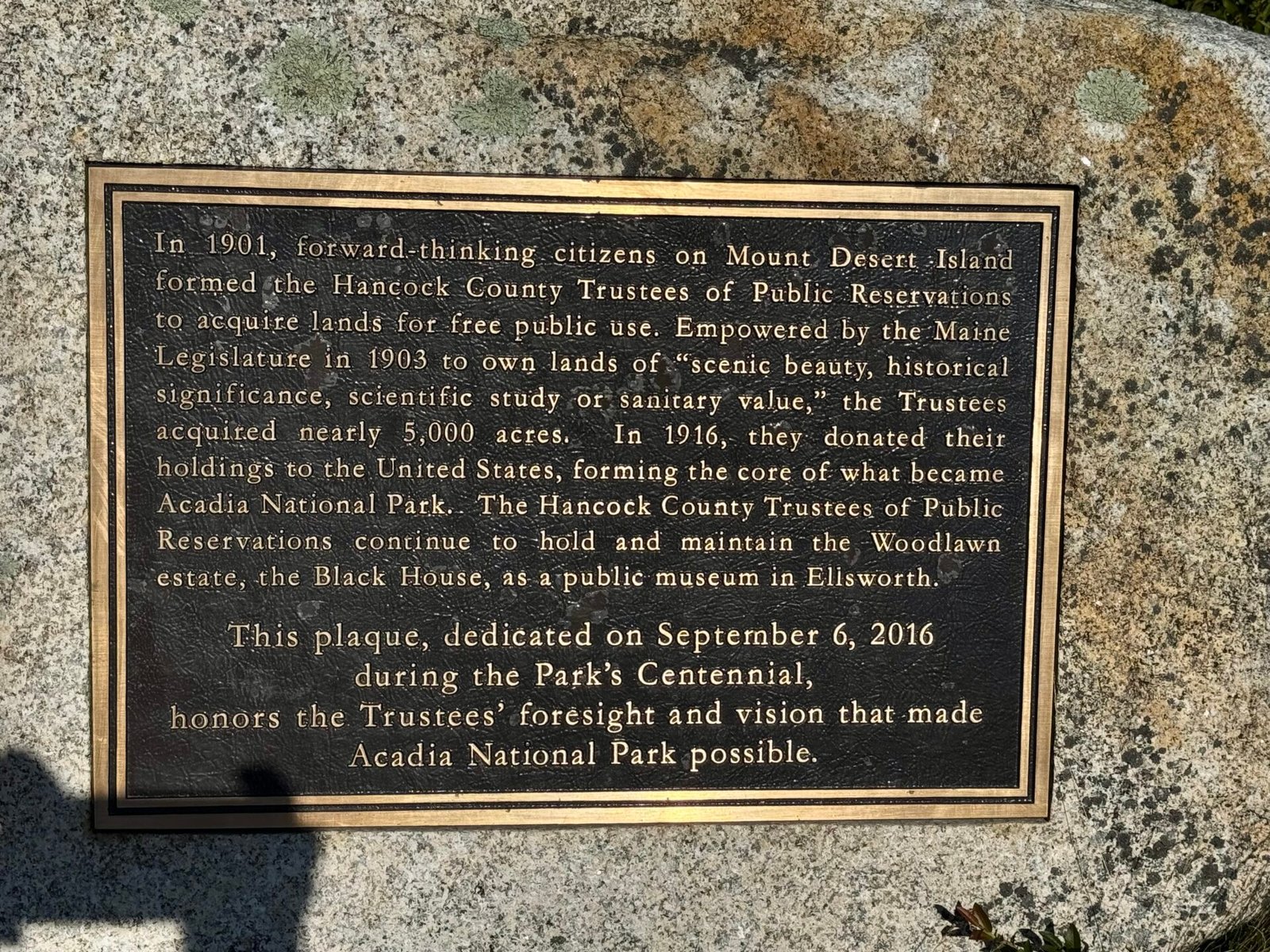
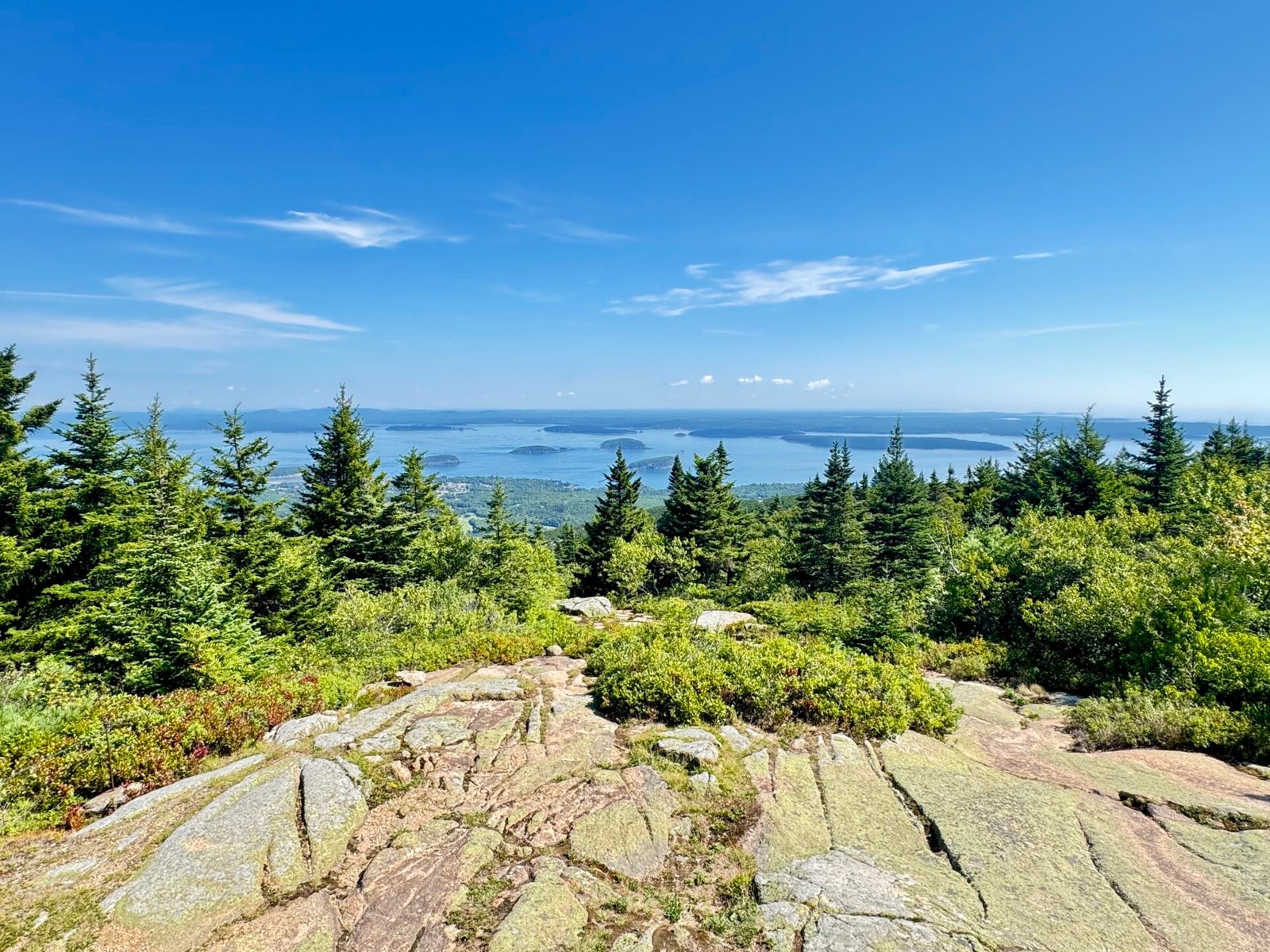
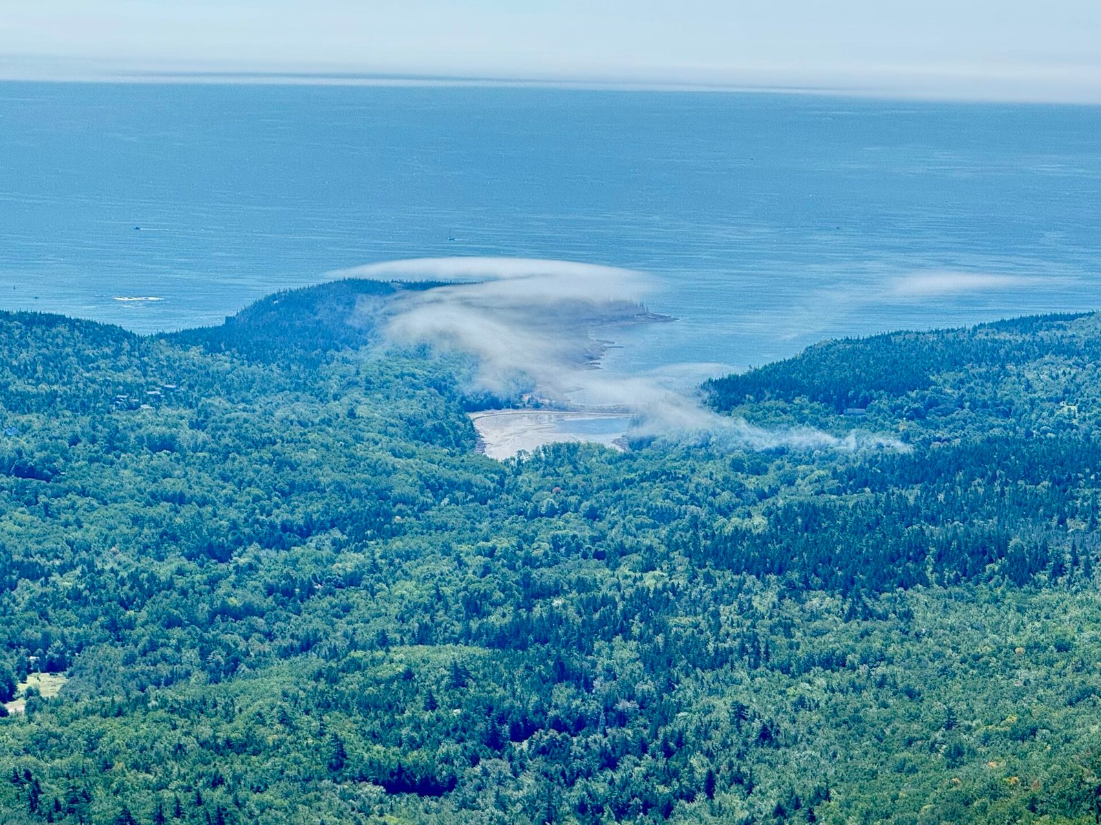
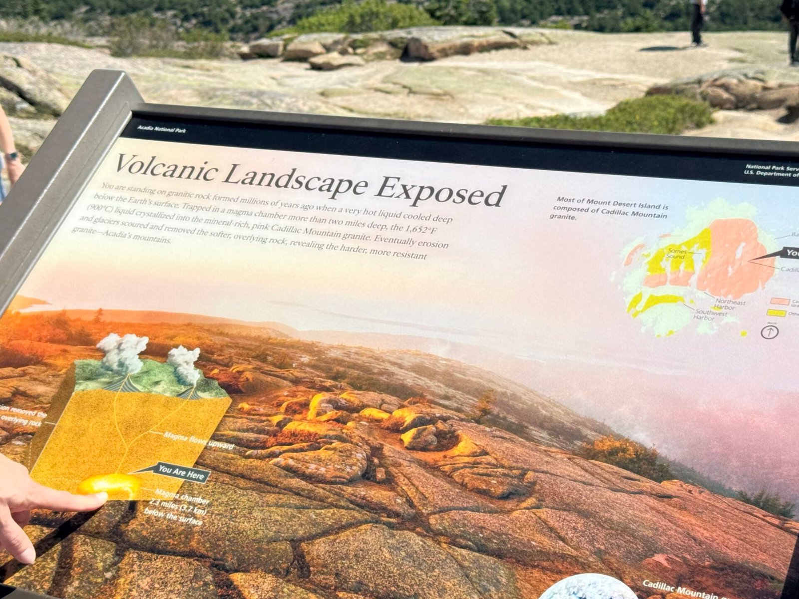
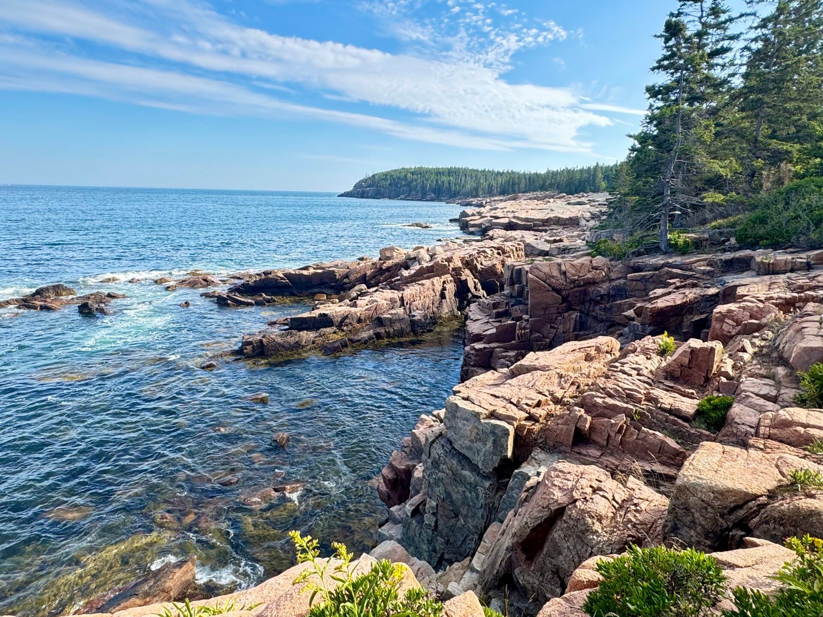
Landing in Bar Harbor, I spent two days exploring Acadia National Park and the area. The landscape was beautiful, with pink granite cliffs slamming into the ocean and the cities below. I managed to get a timed vehicle pass for Cadillac Mountain, which is mandatory if you want to drive to the summit. Another anchor date that also happened to be my birthday. I know, who cares? But this is the best part of Acadia National Park, so do your due diligence and reserve your spot.
Acadia National Park is very busy in August, so go early. Park Loop Road frequently slows to a crawl, so they’ve made it one-way for half of the park. I learned this only when I saw Do Not Enter signs, meaning I couldn’t see half the park and had to go back the second day, from the entrance nearer Bar Harbor, to reconnect with the Loop Road and see the other side of the park.
Bar Harbor is a beautiful resort town, with just as pretty prices to go along with it. I stayed a few miles away, at a motel, and still paid over $200 a night. The restaurants are just as expensive, but I did have one of the best lobster rolls of my trip there. I also tried Canadian red wine again, and luckily this was much better at Sweet Pea’s Farm Restaurant and wine tasting.
Mid-Coast to Portland
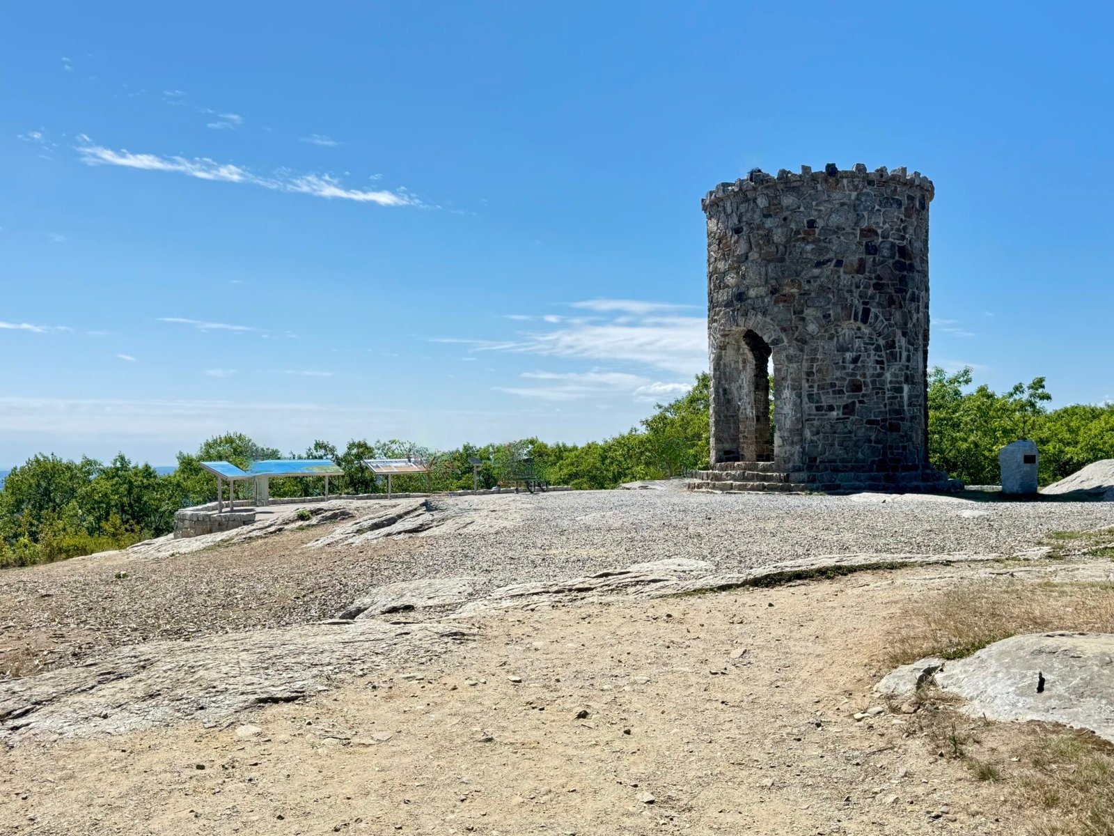
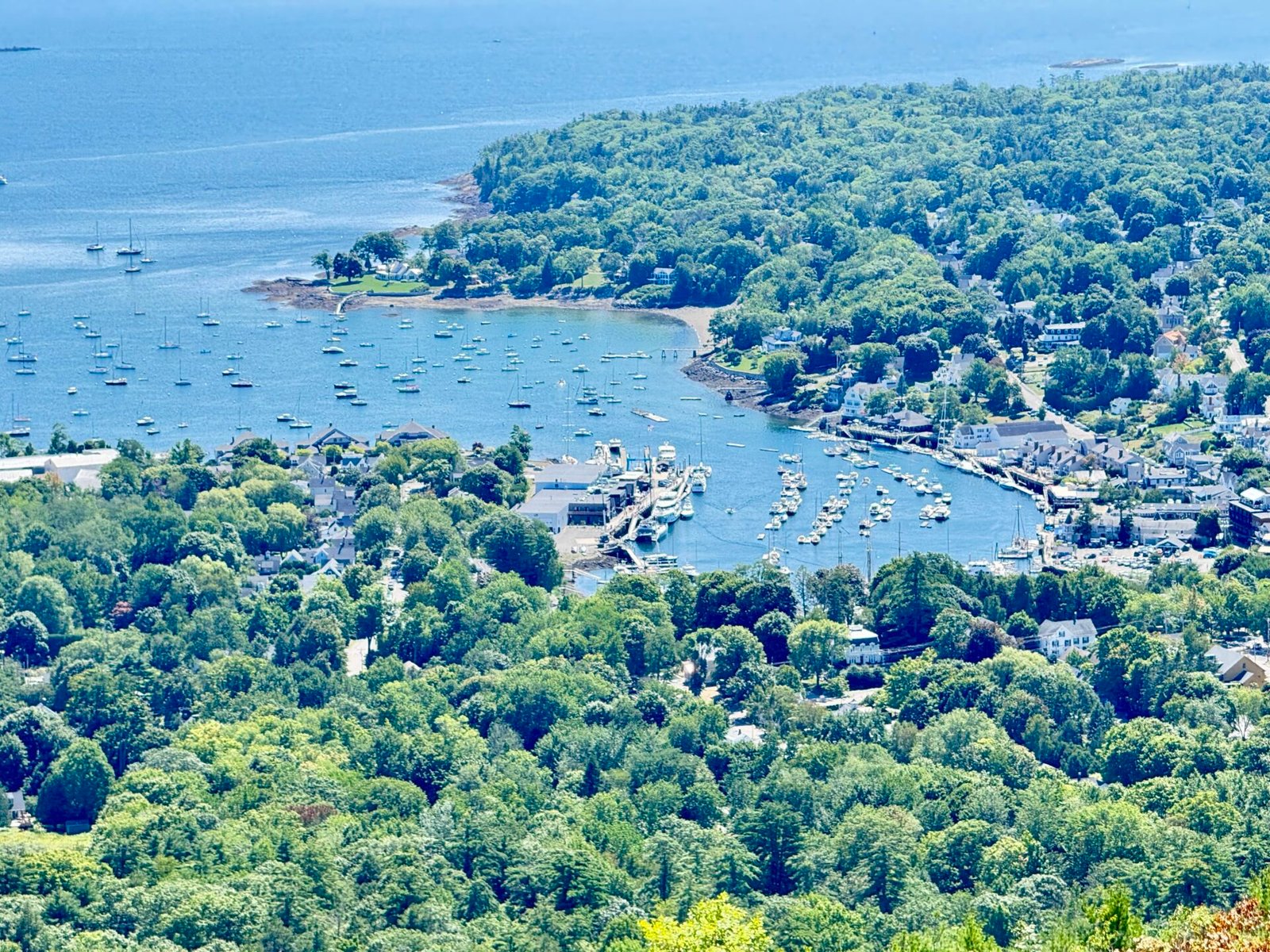
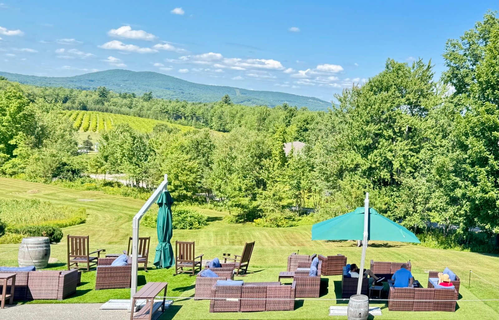
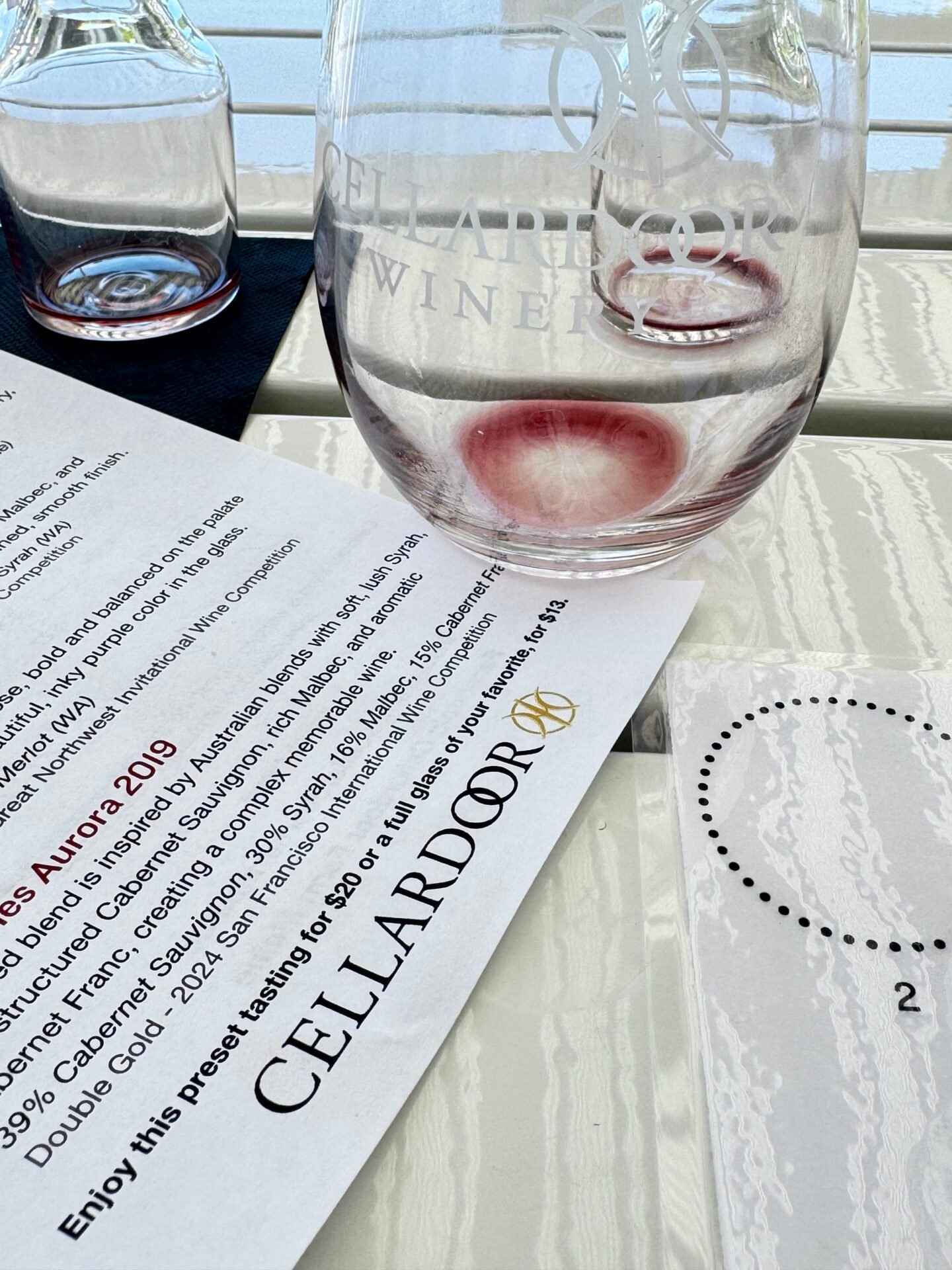
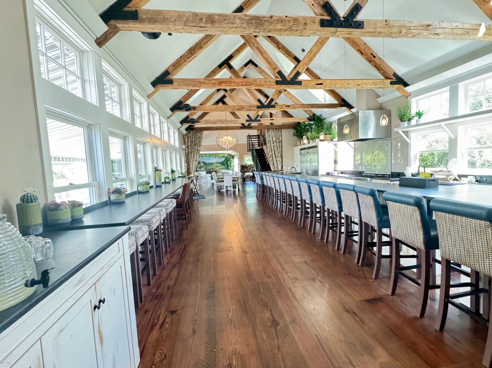
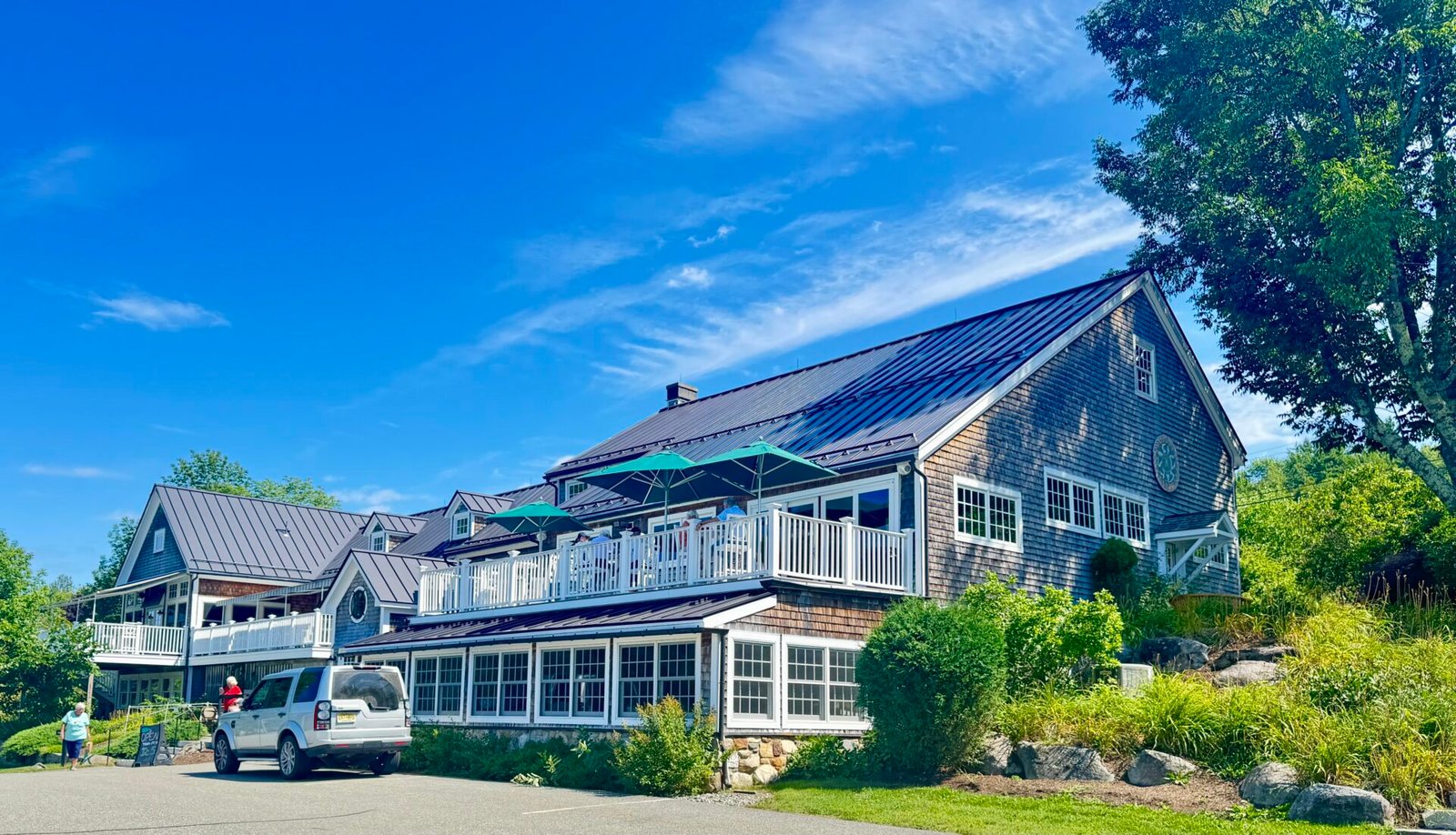
From Bar Harbor, I slowly drifted down Mid-Coast Maine, as I had extra time and split the three-hour drive to Portland into three days. First, I stopped off in Belfast and walked their rails-to-trails path along their river. Then I went to Mt. Battie, drove to the top, and enjoyed some amazing views. From there, I stopped at Cellar Door Winery on the advice of a friend who had been there a few months earlier, and I had some wine and pizza for lunch. This is a beautiful winery in an equally beautiful building, though Google Maps had the wrong location; a local gas station helped with finding it.
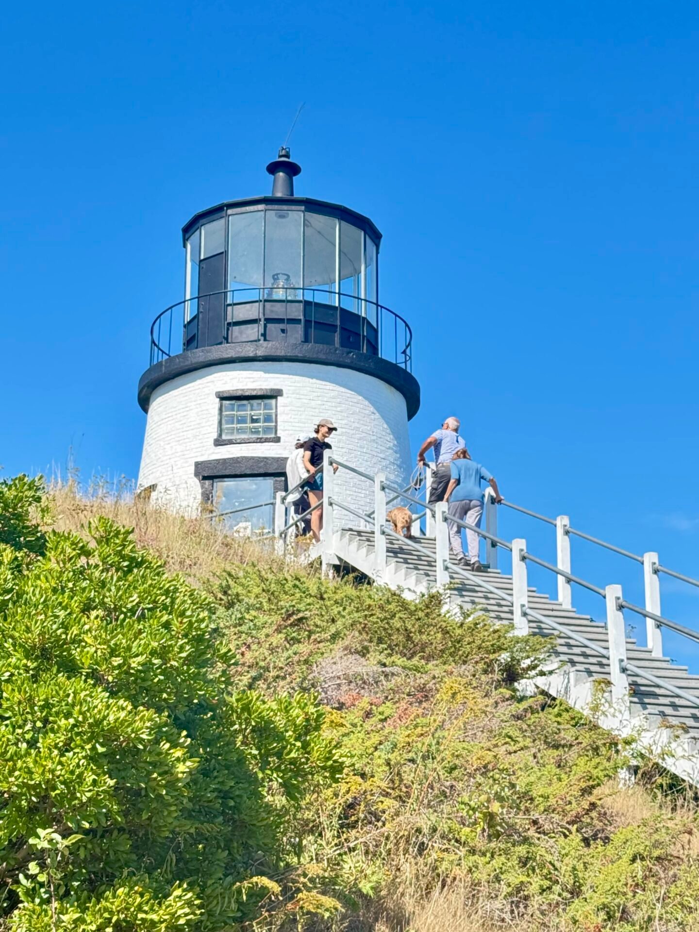
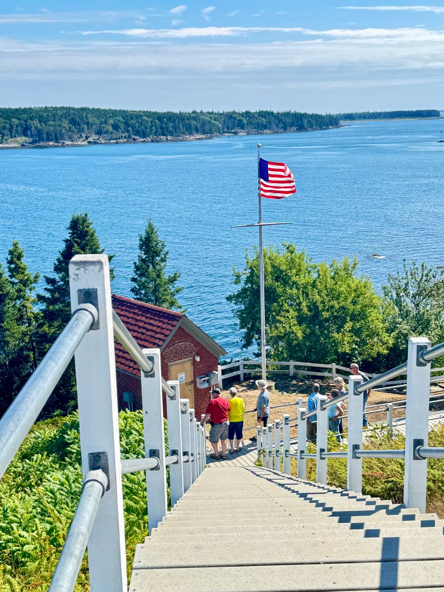
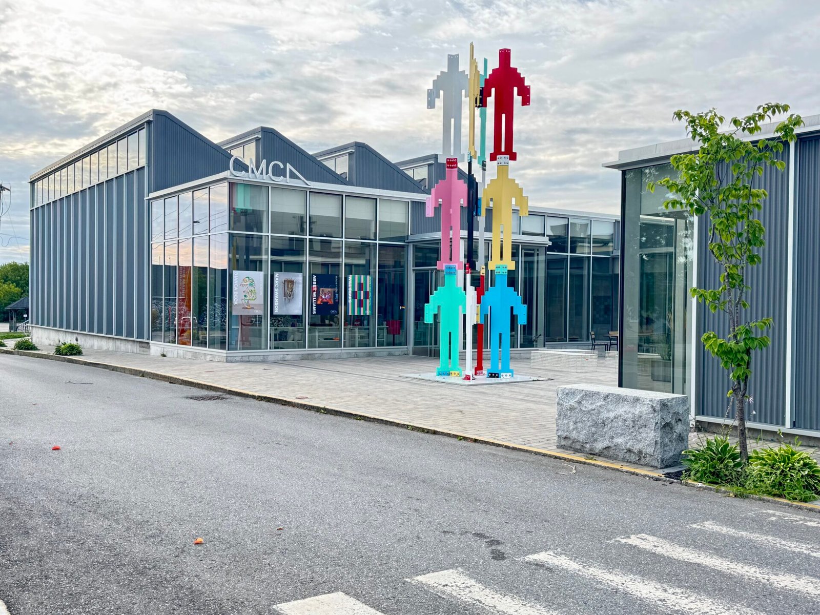
I then had an hour or so to kill before I could check into my room in Rockland, so I took the time to see the lovely town of Camden a little, and if you get the chance, stop there. It is a quintessential New England small town. I stayed in Rockland overnight, which, though tiny, has an amazing art scene and fantastic donuts at Ruckus Donuts. The next day was Owl’s Head Lighthouse, just a short drive away, and then on to Walpole. Along the way, I looked for Andrew Wyeth’s grave, but phone service was out, and I went the wrong way and took too long looking for it. I thought it would be neat to get a photo here, since his grave is very close to the exact spot where he painted Christina’s World, and online it says you can tell when you are there. Alas, Google Maps or my phone service failed me again.
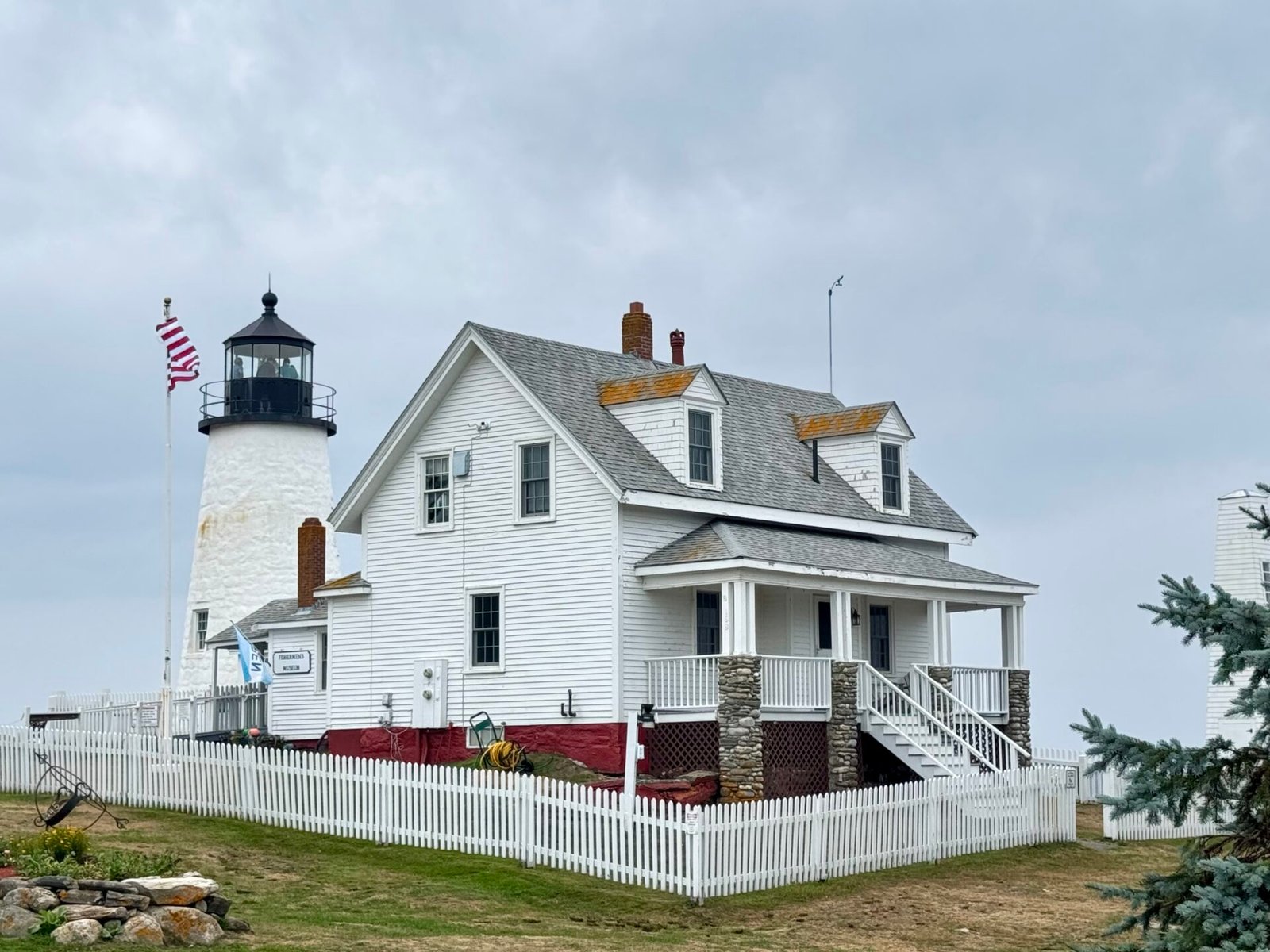
In Walpole, I stayed at a charming bed and breakfast called Hawk’s House Inn. It was an easy drive to Damariscotta from there, a great little town with some wonderful restaurants. The next day I scrambled over the granite ledges at Pemaquid Point Lighthouse and walked the grounds at the Coastal Maine Botanical Gardens in Boothbay. The Gardens are wonderful, but the price is very steep, over $30 per person to get in.
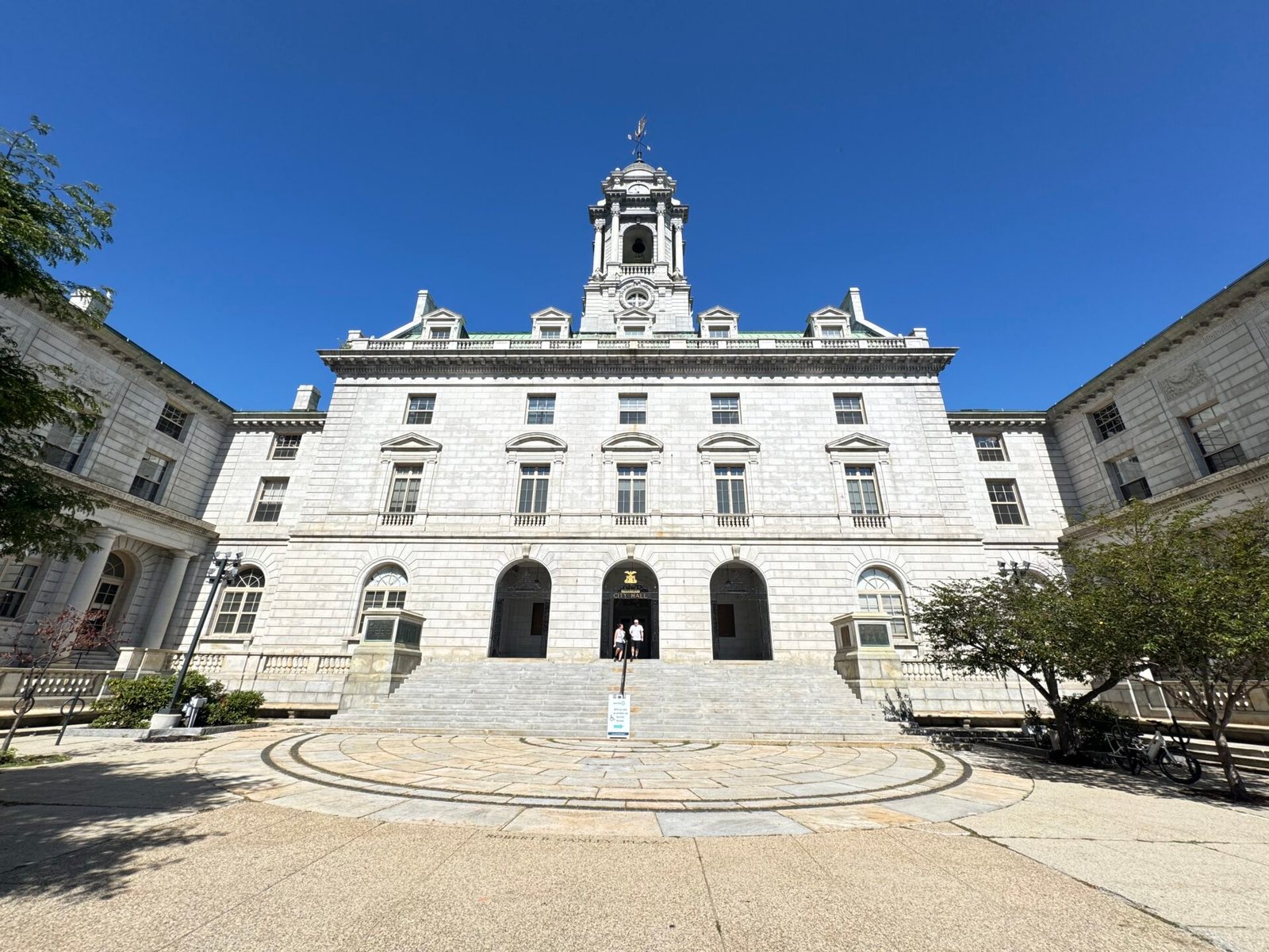
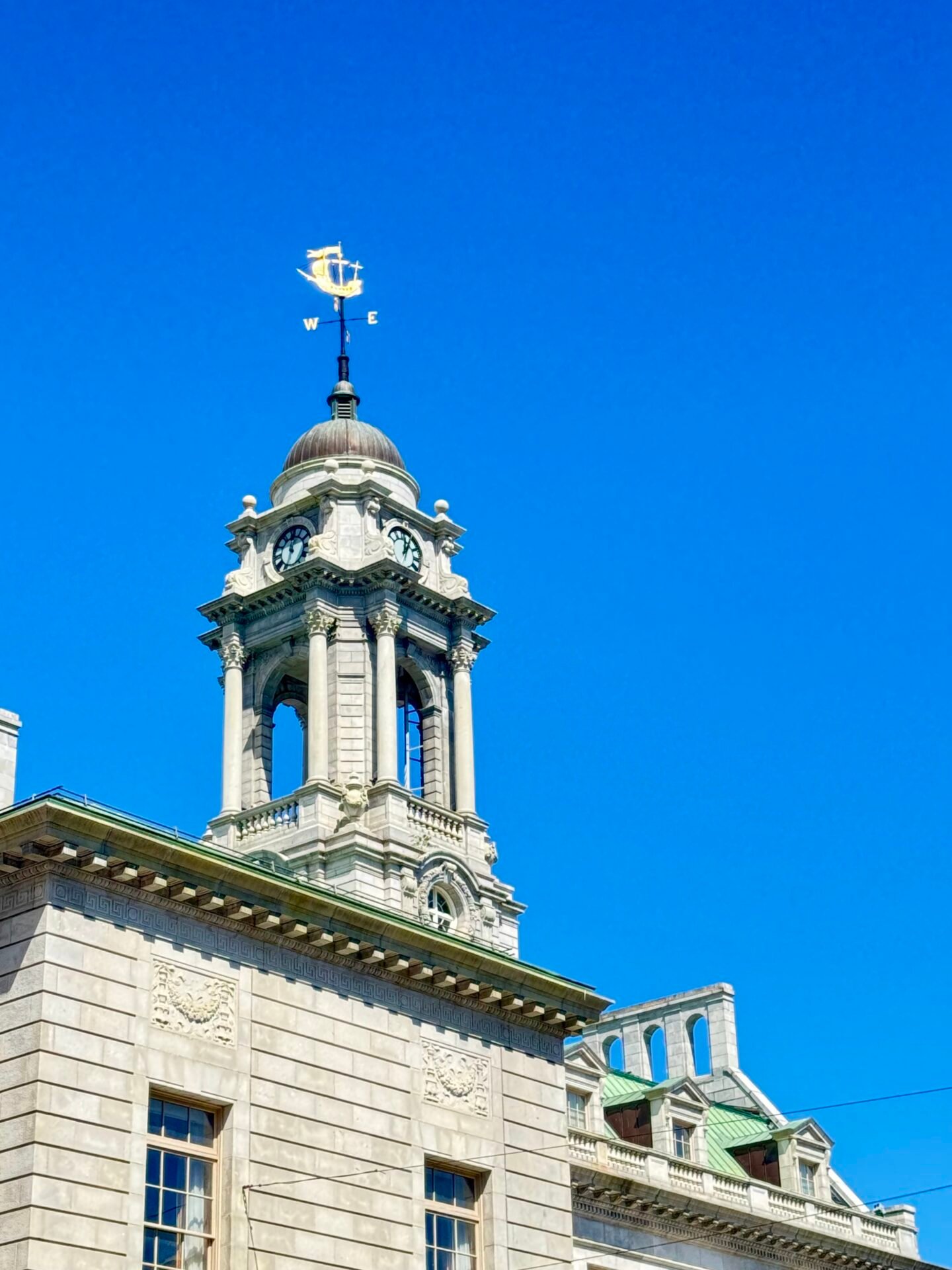
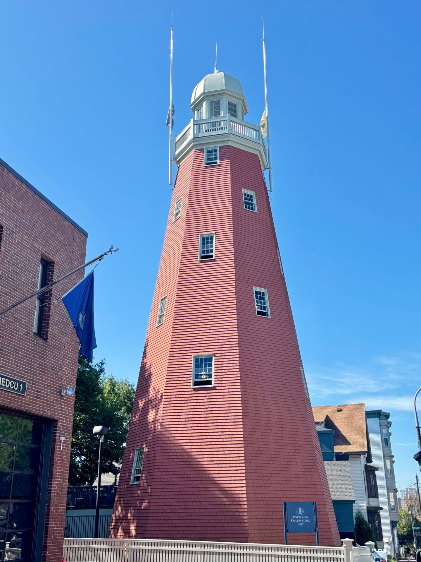
By Day 27, I made it to Portland and stayed in the East End near the Portland Observatory, a signal and lookout tower, not a place to see the stars. I had conference calls again during this stage, so I took them at a coworking space, then spent the day and a half I had left seeing more of Portland. I walked through the West End, which has older homes and lovely streets. Downtown Portland isn’t much, but there are some great buildings, like City Hall, to look at.
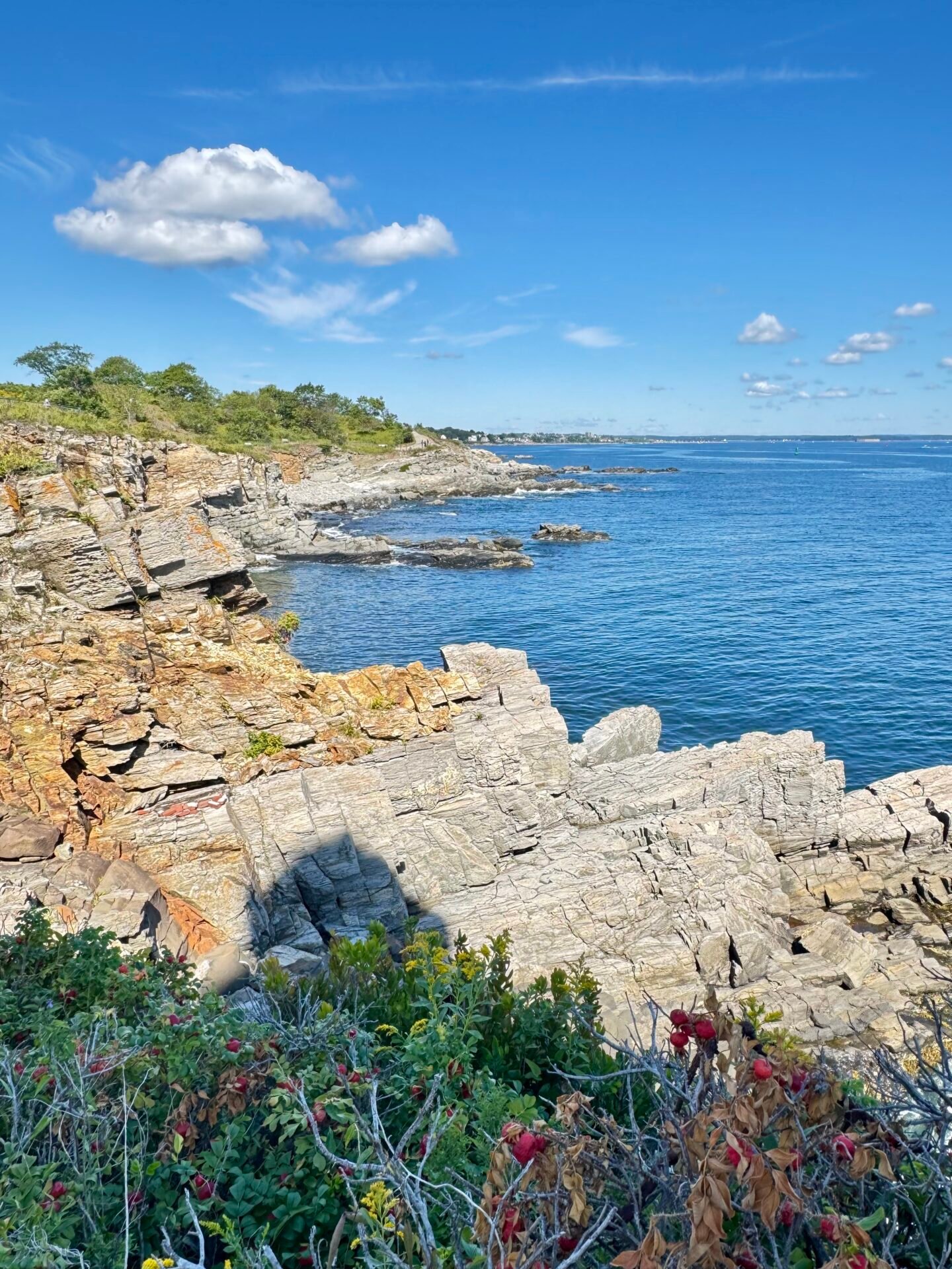
From Portland, I moved south to Ogunquit for two nights and walked the Marginal Way, a paved trail just over a mile long along the water and cliff. It had some incredible ocean views and no real elevation. I had heard a lot about Ogunquit when I lived on the East Coast. I have to tell you, I wasn’t impressed, as the town straddles the busy US 1 and is overpriced. Two days here was at least one and a half too many.
Closing the Loop
The final leg of my August trip meant driving down through Portsmouth and Salem, before checking into the hotel in downtown Boston, and handing back the rental car at Logan Airport. Portsmouth is a great town, beautiful and historic, and I should have stayed a night here and gotten to know it better. Salem looked great, but there was so much construction that I didn’t stop; I just drove through on my way to Logan Airport to drop off the car.
Dropping off those keys felt surreal. That car had taken me across two countries, four provinces, three states, and over 3,000 miles of highway. After a final downtown dinner, I caught my flight back home to Spain the next day.
The Literal Cost & Physical Reality Check
Expectation Vs. The Reality
“I’ll enjoy breezy, relaxing scenic drives.” No, driving fatigue is real. Five-hour drives leave your hips locked, your knees and back stiff, and your eyes strained. You also work out your bladder muscles quite a bit, if you know what I mean. Break up the longer drives with something physical. Also, build in longer hotel-room stays to stretch out the back/driving time.
“Canada will be cheap and easy on the wallet.” No, your credit card will bleed. Canadian gas is sold by the liter and costs a premium. Ferries run hundreds of dollars, and a lobster dinner in Canada and Maine easily clears $40–$60 USD. And hotel prices- hell, even motel prices were sometimes over $200 a night. Remember, this is their high season, which lasts only about 60 days.
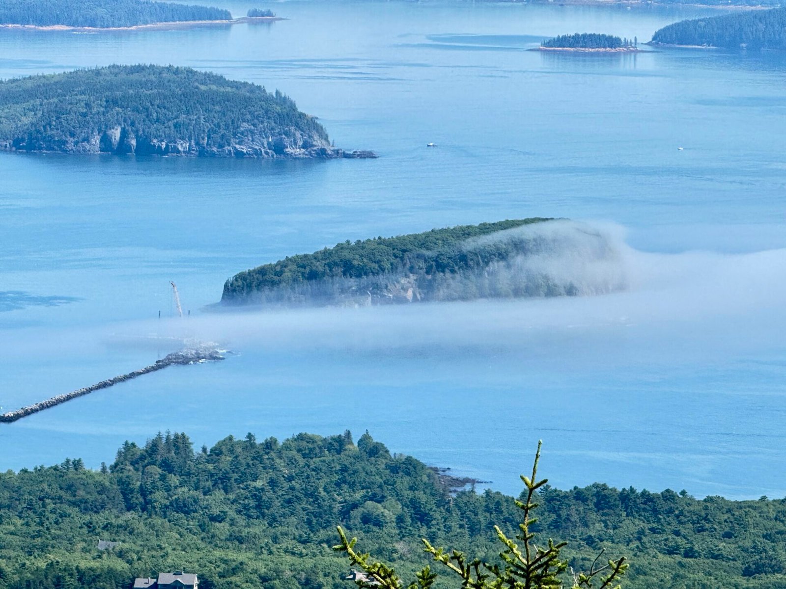
“Warm, sunny August beach days.” Maybe, but the weather is unstable. Dense fog can roll in and hide entire coastal mountain ranges in ten minutes. Cold Atlantic winds or rain may require a thick fleece or windbreaker. It did get to over 80 twice and was chilly in the 60’s on other days, but I definitely recommend going in August.
“I’ll just wing the itinerary as I go.” DO NOT: Winging it during peak season means sleeping in your car and missing amazing parts. The CAT ferry, timed passes at Acadia, and decent coastal lodging sell out months ahead.
Non-Negotiable Planning Rules
- Lock in Anchor Logistics First: The CAT ferry, the PEI ferry, and the Cadillac Mountain vehicle pass dictate your schedule. Skyline Trail is another one. Lock those down before booking a single hotel.
- Consult Tide Tables Early: Hopewell Rocks and Burntcoat Head require low tide to walk on the ocean floor. Do not book your rooms until you match them to the tide schedules.
- Build in “Zero-Drive” Days: Never schedule back-to-back 5-hour driving days. Your body needs two-night stays in places like Montreal, PEI, Halifax, or Bar Harbor so you can explore without staring through a windshield.
- Add Bad Weather Days: If something is very important to you- for me, Hopewell Park and Cabot Trail- add another day to give you a 50/50 chance of good weather.
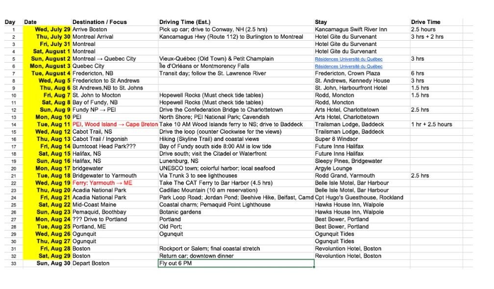
Here’s my spreadsheet that I used for planning. This is about 90 to 95% true to what ended up happening, but it was still so valuable. I make a spreadsheet when I first start planning a trip this long so I can research everything I want to see or experience in an area. I put down everything. Then I look at the driving times between them and what that means for hotel stays and where to stay. I also build in an extra day for the most important items in case one day is bad weather.
Since this is also a working vacation, I had planned ahead my Mondays and Wednesdays to have a good internet connection for conference calls. This is why I had to forego Newfoundland for this trip (though I will be back!)
Finally
The jet lag eventually clears, but a 3,000-mile maritime (now I will use this word as often as I can) trip stays with you forever. Do the prep, respect your physical and monetary limits, and hit the road.
Thank you for reading my article. If you would like to read about other travel posts you can go to Articles to see all posts, or to Destinations to see them grouped by location. General travel tips can be found here.